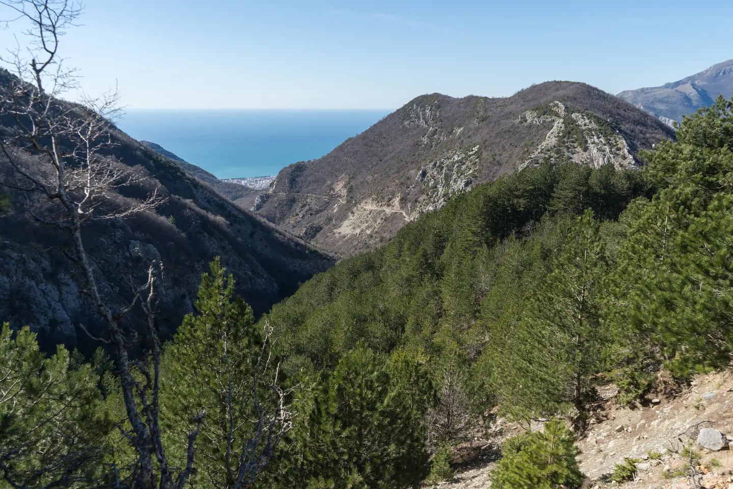
A long mountain tour through the massif above the Bar coastal area, with multiple summits and abundant water sources.
A multi-day tour of 30.2 km leading from Lunje to the Sutorman pass, following red-and-white markings through forest and gravel road sections. The total ascent is 1,491 m, and the tour is intended for experienced hikers.
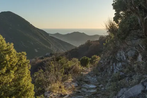
The trail starts from Lunje and a water fountain is located right next to the path (0.2 km). Within the first few kilometres you reach a viewpoint at 1,204 m a.s.l., then the summit of Ranga (981 m) and the summit of Debelin (1,262 m), while at 4.5 km the highest point of the tour – the summit of Loška (1,353 m) – offers views of the coastline and the mountain hinterland.
After Loška the trail gradually descends, passing by fountains and a waterfall (9.9 km, 877 m a.s.l.) which makes for a welcome break on a long section. Around the 12th kilometre there are camping options and two more fountains, making this spot a natural resting place for those who spread the tour over two days.
The second half of the trail leads to the viewpoint Bijela skala (899 m a.s.l.) and the pass of the same name, then through the cave Pasja špilja (20.6 km) towards the final section of the route. The tour ends at the Sutorman pass (805 m a.s.l.).
The surface is varied: earth and forest trail, gravel road and asphalt. The trail is marked with red-and-white markings. It is recommended for experienced hikers with good physical fitness and plans for overnight stays in the field.
What this difficulty means
Very long or alpine terrain where hands may be needed, with few ways out. Only for experienced mountaineers in stable weather.
Mountain hiking grade SAC T2 (scale T1–T6).
Places on this route
Move along the profile to follow the route on the map; switch on 3D for the terrain.
↑ 1,491 m · ↓ 1,401 m · highest point 1,348 m
Along the way
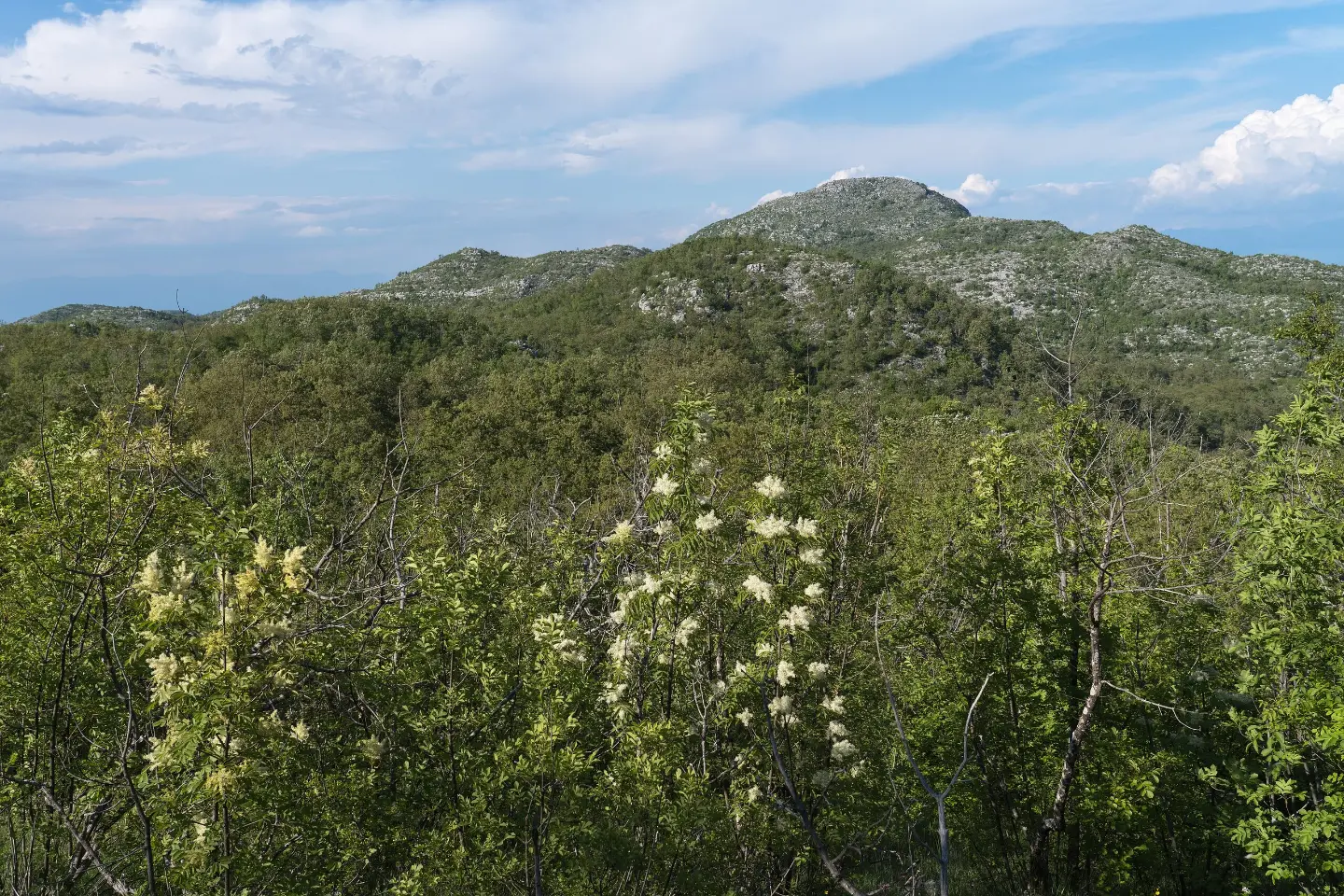
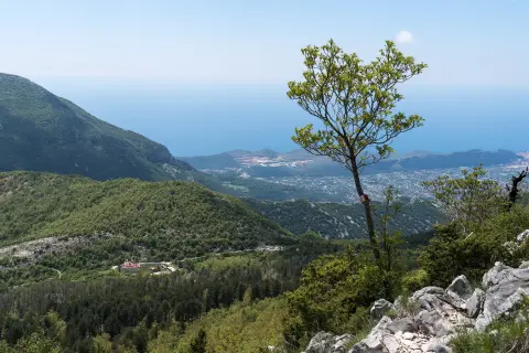
Views towards the coastline and the hinterland from the Bijela skala pass, halfway through the second stage of the tour.
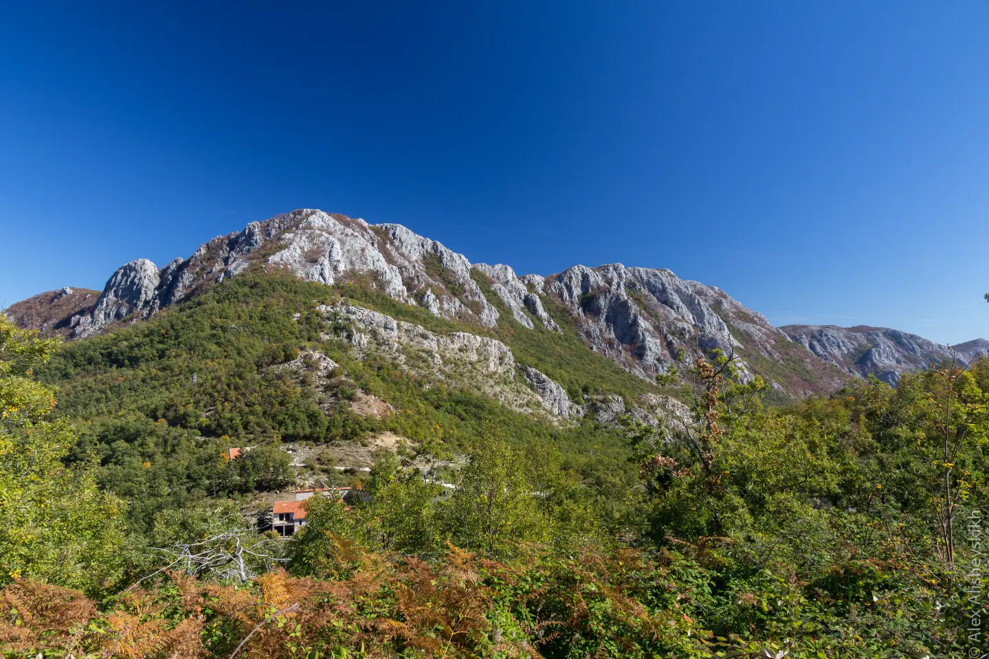
The final point of the tour, from which views open up towards Bar and the Adriatic Sea.
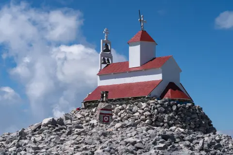
The highest point of the tour at 4.5 km from the start, with views of the coastline and the surrounding mountain massif.
A natural attraction at around the 10th kilometre of the trail – a pleasant break in the middle of a forest section.
An interesting geomorphological point at 20.6 km from the start, worth a short visit.
The tour is estimated to take 11 h 35 min without breaks – overnight stay in the field is essential (campsite at around the 12th km).
There are several fountains and springs along the trail, but always bring sufficient water reserves as the reliability of the sources may vary.
Set off early in the morning so that you complete the most demanding ascent in the first kilometres during the morning hours.
Bring camping equipment if you plan the multi-day variant – bivouac spots exist at around the 12th km.
Wear hiking boots with good ankle support due to the varied surface (forest, gravel road, asphalt).
Check the weather forecast – altitudes up to 1,353 m can bring sudden weather changes.
The tour spans multiple days and passes through mountain terrain with elevations up to 1,353 m a.s.l. – sudden weather changes, fog and thunderstorms are possible at any time of the season. Be sure to bring a map, a fully charged phone and overnight equipment. In case of emergency, call 112.
Emergency number in Montenegro: 112.
Good to know
Best season
The most favourable period for this tour is from May to October, when the mountain trails are dry and passable. In summer, set off early to avoid the midday heat on the lower sections.
Getting there
The nearest place to the start of the trail is Utjeha, about 6 km away. The easiest way to reach the starting point is by private car, and Sutomore is also nearby (~4.4 km from the trail).
The trail is 30.2 km long, with a total ascent of 1,491 m and a descent of 1,401 m.
The estimated walking duration without breaks is 11 h 35 min. It is recommended to spread the tour over two days.
The trail is rated as very demanding and is intended for experienced hikers.
Yes, the trail is marked with red-and-white markings along the entire route.
Hiking · Stari Bar
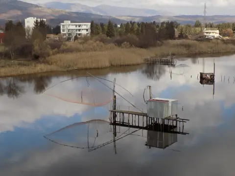
Cycling · Ada Bojana · Lake Skadar
Hiking · Stari Bar
Hiking · Stari Bar
Hiking · Stari Bar
Hiking · Stari Bar
Cycling · Lake Skadar
Cycling · Rose, Luštica · Lake Skadar
Times and grades are estimates. Conditions change: check the weather and local information before you set out. Map and data sources →

