Marked one-way hiking trail with 628 m of descent through forest and viewpoints.
The Lunje – Loska trail is 4.4 km long and runs in one direction. It starts at the highest point of 1,348 m a.s.l., descends a total of 628 m, and follows an earthen forest path for almost its entire length.
The Lunje – Loska trail is 4.4 km long and runs in one direction. It starts at the highest point of 1,348 m a.s.l., in the area of the Loška summit (1,353 m a.s.l.), and descends without any ascent a total of 628 m to the end point at 714 m a.s.l. The estimated walking time without breaks is 1 h 50 min, and the difficulty is moderate (SAC T2).
Almost the entire trail (95%) follows an earthen and forest surface. Follow the red-and-white markers. At 1.0 km from the start is the Debelin summit (1,262 m a.s.l.), and at 1.3 km there is a viewpoint at 1,204 m a.s.l.
The descent continues over the Ranga summit (981 m a.s.l.) at 3.0 km. At 4.2 km the trail passes a drinking water fountain at 741 m a.s.l., before descending to Loska, the lowest point at 714 m a.s.l.
The trail is suitable for hikers with a basic level of fitness. Due to its one-way nature and a total descent of 628 m, plan your return or transport in advance and wear footwear with good soles.
What this difficulty means
Longer or steeper sections and uneven ground. You need basic fitness, sturdy shoes and a little mountain experience.
Mountain hiking grade SAC T2 (scale T1–T6).
Places on this route
Move along the profile to follow the route on the map; switch on 3D for the terrain.
↑ 0 m · ↓ 628 m · highest point 1,348 m
Along the way
The starting point of the trail at 0.0 km, at 1,353 m a.s.l.
Located 1.0 km from the start, on the forested section of the trail.
At 1.3 km from the start, a spot for a short rest and a view.
At 3.0 km from the start, in the second part of the descent.
At 4.2 km from the start, useful for refreshment before the finish.
Wear hiking footwear with good soles; the trail is mostly earthen and forested.
Bring enough water – the fountain is only at the 4.2 km mark of the trail.
Due to 628 m of continuous descent, trekking poles can take the strain off your knees.
The trail is not a loop; plan your return or transport from the end point in advance.
Check the weather forecast and set out earlier during summer days.
Take care on steeper and slippery forest sections, especially after rain. In fog, stay close to the markers. The emergency number in Montenegro is 112.
Emergency number in Montenegro: 112.
Good to know
Best season
Most pleasant in spring and autumn. In summer, set out early to avoid the heat, and in winter check for possible snow and ice on the higher sections.
Getting there
The nearest place to the start of the trail is Stari Bar, about 4.6 km away. The starting point is reached from the direction of Stari Bar; due to the one-way nature of the trail, plan transport to the end point.
The trail is 4.4 km long and runs in one direction.
The estimated duration without breaks is 1 h 50 min.
The difficulty is moderate (SAC T2), and the trail is marked with red-and-white markings.
The ascent is 0 m, and the descent is 628 m; the highest point is 1348 m a.s.l., and the lowest is 714 m a.s.l.
Hiking · Utjeha
Hiking · Stari Bar
Cycling · Ada Bojana · Lake Skadar
Hiking · Stari Bar
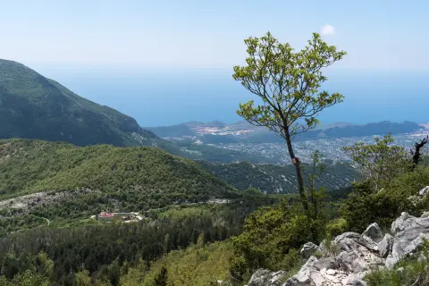
Hiking · Stari Bar
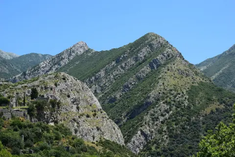
Climbing · Stari Bar
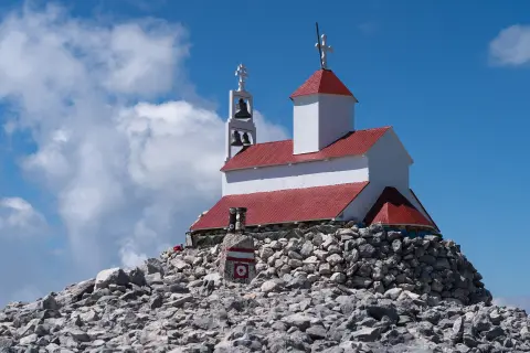
Hiking · Stari Bar
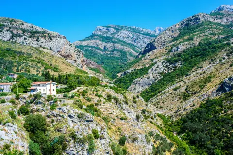
Hiking · Stari Bar
Times and grades are estimates. Conditions change: check the weather and local information before you set out. Map and data sources →

