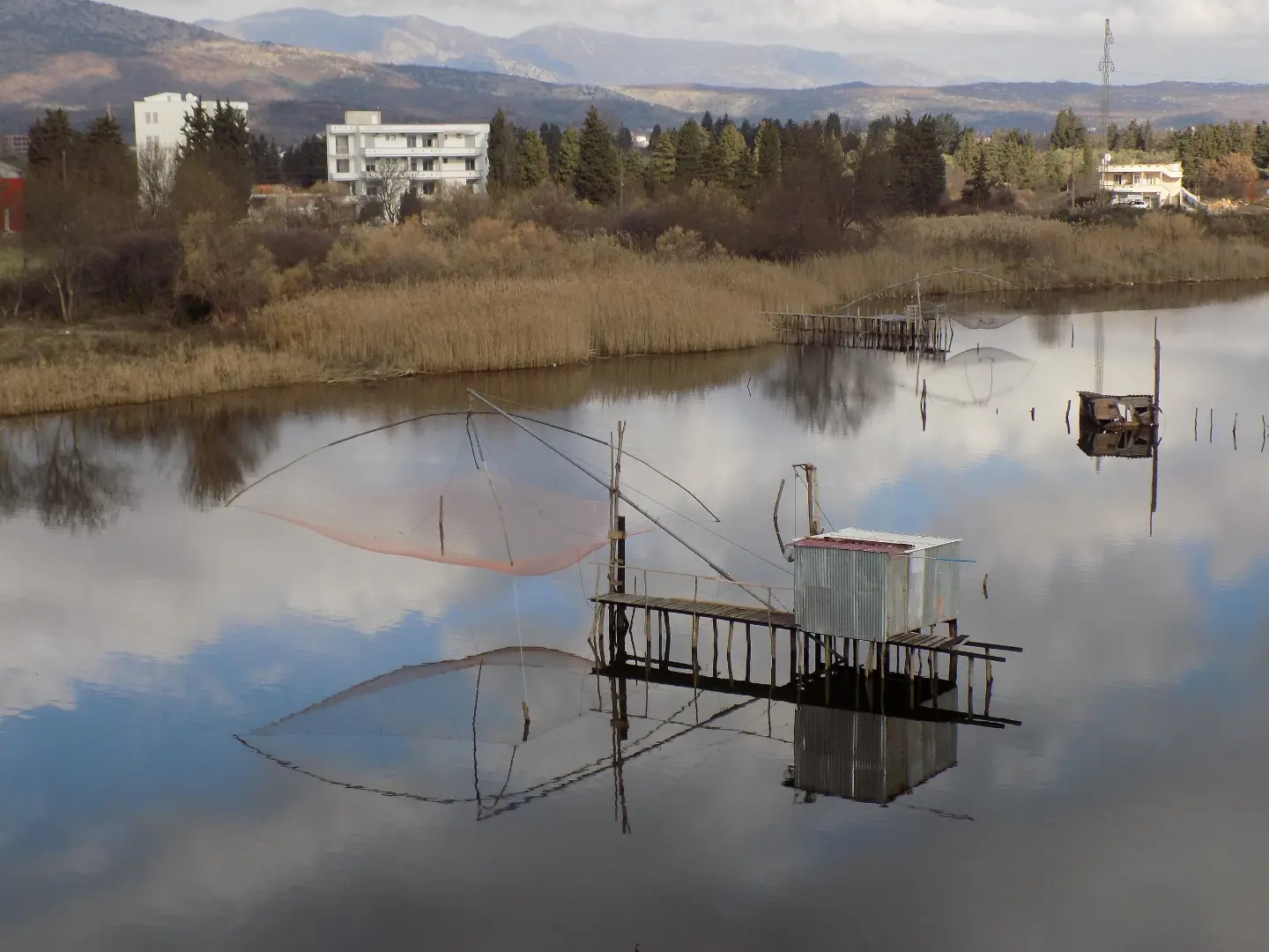
A long cycling tour along the waters of Montenegro — from the Adriatic to Lake Skadar and beyond.
Trail TT5 takes you along almost 148 km, predominantly on asphalt, with a total ascent of 2604 m. It passes by Lake Skadar, historic fortresses, and landscapes that tell stories of water.
Top Biking Trail 5 is a linear multi-day route of 147.9 km that begins near Ada Bojana and ends at the other end of the trail. The route is suitable for experienced cyclists — the total ascent is 2604 m and the descent is 2385 m. The surface is asphalt or concrete in 96% of cases, which makes pace planning easier, but does not reduce the physical effort.
The highest point of the route is the Sutorman pass at 805 m above sea level (around the 64th km), offering a wide panoramic viewpoint. On the way there, you pass through varied terrain — from the coastal plain to steeper climbs. The lower section offers views of Lake Skadar, a national park that the trail partially crosses, and nearby are the fortresses of Besac and Grmožur as well as the historic site of Stari Bar.
Several water fountains and springs have been recorded along the entire route, which helps with planning water resupply. Campsites are also available — including Camp Virpazar and Kamp Lad — suitable for overnight stays during a multi-day cycling trip.
The trail is intended exclusively for experienced cyclists in good physical condition. Beginners and recreational riders are advised to consider shorter alternatives.
What this difficulty means
Very long, very steep or technical riding. For strong riders with good bike handling and self-sufficiency.
Move along the profile to follow the route on the map; switch on 3D for the terrain.
↑ 2,604 m · ↓ 2,385 m · highest point 805 m
Along the way
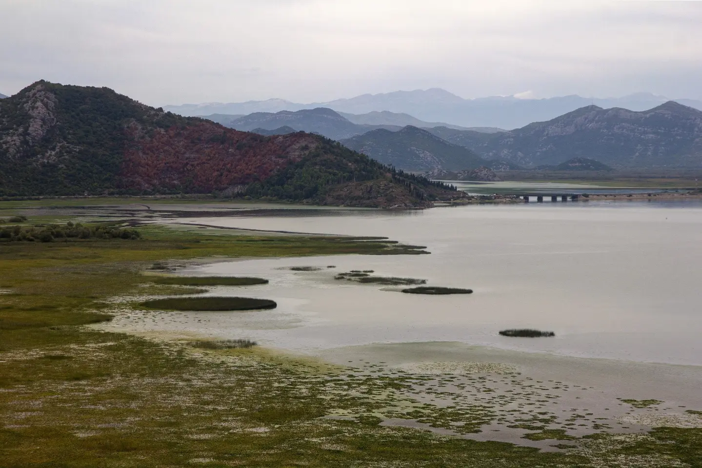
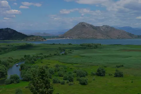
The trail passes through the area of Lake Skadar National Park — one of the largest lakes in the Balkans, rich in birds and characteristic landscapes.
The highest point of the route at around the 64th km. A long and demanding climb rewards you with a panoramic view from the viewpoint at the top.
At around the 85th km of the trail, Besac Fortress (101 m above sea level) is located just 0.2 km from the route — an ideal short detour for history lovers.
At the 106th km, the Livari viewpoint at 422 m above sea level offers a view that can serve as a reward before the final stretch of the route.
The start of the trail is located near Ada Bojana, and Velika Plaža is just 1.3 km from the route — perfect for a short rest at the beginning.
This is a multi-day tour — plan your overnight stays in advance. The campsites Camp Virpazar and Kamp Lad are available along the route.
Start early to avoid riding during the hottest part of the day, especially when climbing to Sutorman.
There are several water fountains and springs along the trail, but always check them on the ground. Carry a water reserve of at least 2 l.
The trail is linear — arrange transport back to the starting point or organize logistics from the other end of the trail.
Equip your bike with service tools: a spare tube, pump, and basic tools are essential for a route of this length.
Monitor the weather forecast — the climb to Sutorman is exposed to wind and sudden weather changes.
The trail includes a long climb to 805 m above sea level where sudden weather changes, strong winds, and reduced visibility are possible. On open sections, be cautious in traffic. In case of an accident or emergency, call 112.
Emergency number in Montenegro: 112.
Good to know
Best season
The recommended period is from April to June and from September to October. In July and August, the heat can be intense, especially on the lower and coastal sections of the route.
Getting there
The trail begins near Ada Bojana, approximately 1.9 km from the starting point, where parking is available. The starting point can be reached by car.
The trail is 147.9 km long. The estimated riding time without breaks is 11 hours and 45 minutes. It is recommended to plan it as a multi-day tour.
The trail is rated as very demanding and intended for experienced cyclists. The total ascent is 2604 m, and the highest point is 805 m above sea level.
The surface is 96% asphalt or concrete, which makes the trail suitable for a road or gravel bike.
The most suitable time is in spring and autumn when temperatures are milder. Riding in summer is possible, but particularly strenuous due to the heat — set off early in the morning.
2.2 km↑ 28 m35–50 min
4.6 km↑ 113 m1½–2 h

195 km↑ 3,259 m2–3 days
41.5 km↑ 870 m3–4 h
Times and grades are estimates. Conditions change: check the weather and local information before you set out.

Ask about Montenegro
Ask me about destinations, restaurants or activities.
