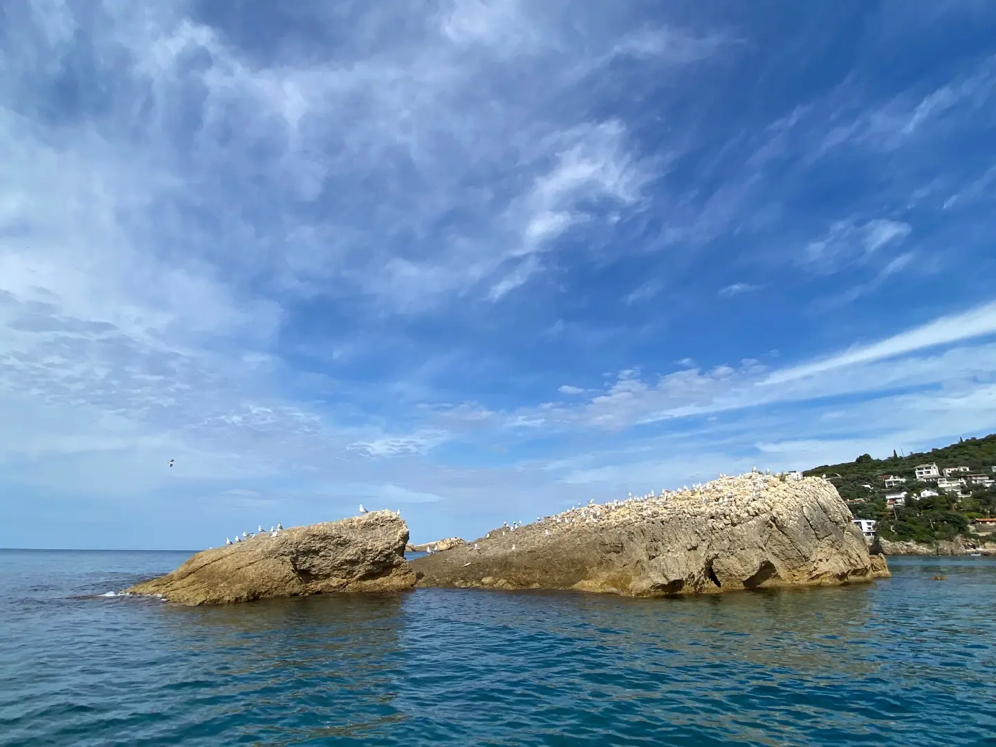
Easy walking tour from Liman II Beach to Valdanos Beach: 4.6 km, 113 m of ascent, about 1 h 30 min of walking.
Easy one-way walking tour from Liman II Beach to Valdanos Beach near Ulcinj. The length is 4.6 km, with an ascent of 113 m and a descent of 114 m; without breaks it takes about 1 h 30 min of walking.
The trail starts at Liman II Beach, near Ulcinj. It is a one-way route and after 4.6 km ends at Valdanos Beach. In the first section, at 0.6 km, there is a spring at 61 m above sea level, and at 2.3 km a drinking water fountain at 112 m above sea level. The route passes by the Old Town of Ulcinj, which is about 0.5 km from the trail.
The terrain is mostly gravel road (67%), partly asphalt/concrete (27%) and to a lesser extent an earth/forest trail (6%). The lowest point is at 1 m above sea level, and the highest at 123 m above sea level. Total ascent is 113 m, and descent 114 m.
Due to its short length and moderate ascents, the tour is easy and suitable for recreational walkers and families. Allow about 1 h 30 min of walking without breaks.
What this difficulty means
Well-made paths with gentle gradients. Fine for families and anyone used to walking a few hours.
Move along the profile to follow the route on the map; switch on 3D for the terrain.
↑ 113 m · ↓ 114 m · highest point 123 m
Starting point of the trail, the closest place to the trailhead.
Located 0.6 km from the start, at 61 m above sea level.
At 2.3 km from the start, at 112 m above sea level.
Passed about 0.5 km from the trail.
Final point of the trail, right by the coast.
Bring enough water even though there is a fountain at 2.3 km on the trail.
Wear footwear for mixed surfaces: gravel road, asphalt/concrete and earth sections.
In the warmer part of the year, start earlier and bring sun protection.
Check the weather forecast before setting off.
There are no demanding technical sections on the trail, but pay attention to the mixed terrain. In case of an accident, call 112. Protect yourself from the sun, especially on open coastal sections.
Emergency number in Montenegro: 112.
Good to know
Best season
The best months for this tour are January, February, March, April, May, June, September, October, November and December. July and August are not in the recommended period.
Getting there
The start of the trail is at Liman II Beach, which is the closest point to the trailhead. Ulcinj is about 0.7 km from the trail.
The trail is 4.6 km long.
The estimated duration without breaks is 1 h 30 min.
The trail is easy. The total ascent is 113 m, and the descent 114 m; the highest point is at 123 m a.s.l.
Recommended months are January, February, March, April, May, June, September, October, November and December.
Walking · Ulcinj Old Town

Cycling · Ada Bojana · Lake Skadar
Cycling · Rose, Luštica · Lake Skadar
Hiking · Utjeha
Hiking · Stari Bar

Hiking · Stari Bar
Hiking · Crvena Stijena
Hiking · Crvena Stijena
Times and grades are estimates. Conditions change: check the weather and local information before you set out. Map and data sources →

