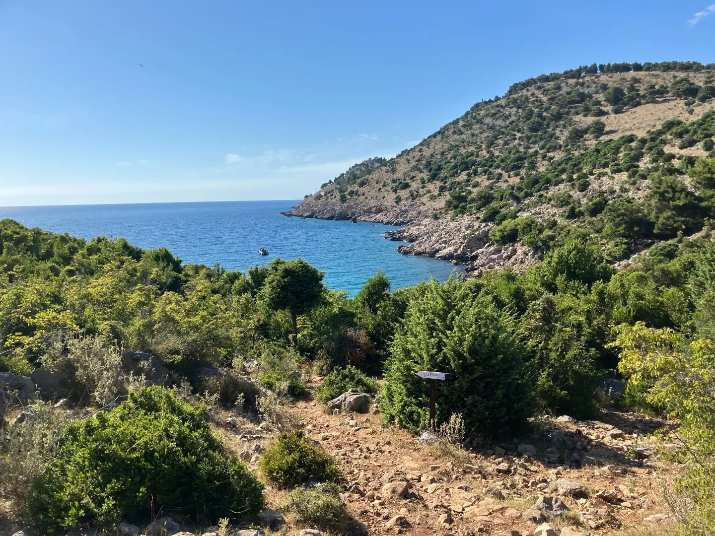
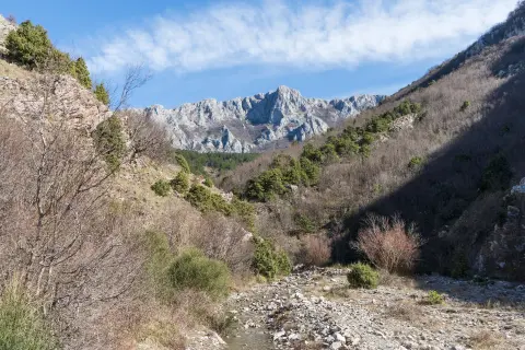
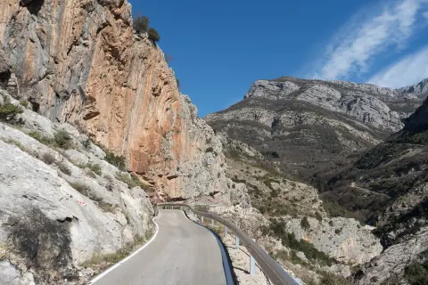
Short mountain trail along the coastal terrain, with views of the sea and the cliffs above Bar.
A 3.5 km trail leads from Miljanov Most to Uvala Bigovica through varied terrain of gravel and forest paths. It is of moderate difficulty, with a gentle ascent up to 123 m above sea level, and is suitable for almost all ages.
The trail starts from Miljanov Most and gradually climbs toward Crvena Stijena, passing mainly along gravel roads and dirt forest paths. The total ascent is 102 m, and the highest point reaches 123 m above sea level – enough to offer a beautiful view of the surrounding coastal area.
The terrain is varied: about 44 % of the route is gravel, 40 % dirt and forest trail, and the rest asphalt or concrete. The trail is marked with red and white trail markings, making orientation easier. The total length is 3.5 km, and the estimated walking time without breaks is about 1 h 10 min.
The end of the trail is Uvala Bigovica – a pleasant destination for a rest after a short hike. Since the trail is not circular, it is advisable to arrange transport or a return in advance. Nearby is the historical site Stari Bar, as well as the city beach Topolica, so the tour can easily be combined with a wider trip.
The trail is suitable for beginners and families with older children, thanks to its gentle profile and short duration.
What this difficulty means
Longer or steeper sections and uneven ground. You need basic fitness, sturdy shoes and a little mountain experience.
Mountain hiking grade SAC T1 (scale T1–T6).
Places on this route
Move along the profile to follow the route on the map; switch on 3D for the terrain.
↑ 102 m · ↓ 113 m · highest point 123 m
A characteristic location by which the trail is recognized, located near the beach of the same name, about 1.7 km from the start of the route.
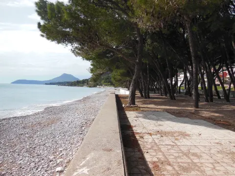
The end point of the trail – a peaceful cove ideal for rest and swimming after the walk.
A historical site about 2.4 km from the trail, worth visiting in combination with this tour.
A city beach about 2.6 km from the trail, suitable for swimming after the tour.
Bring enough water, as there are no confirmed springs on the trail.
Wear comfortable hiking boots with good grip, especially for dirt and gravel sections.
Since the trail is not circular, arrange transport or a return from Uvala Bigovica in advance.
Start earlier in the morning or late in the afternoon to avoid the summer heat.
Bring sun protection and a hat – the terrain is partly exposed.
The trail is marked with red and white markings, but it is short and clear, so navigation is easy.
The trail is short and at a low elevation, but caution is recommended in case of sudden weather changes or fog. Always let someone know about your planned hike and carry a phone with you. In case of emergency, call 112.
Emergency number in Montenegro: 112.
Good to know
Best season
The trail is passable throughout the year thanks to its low elevation. Hiking is most pleasant in spring and autumn, when temperatures are moderate.
Getting there
The trail starts from Miljanov Most. Bar is about 2.4 km away, from where you can reach the starting point by car or local transport.
The trail is 3.5 km long and leads from Miljanov Most to Uvala Bigovica.
The estimated walking time without breaks is about 1 h 10 min.
The trail is of moderate difficulty, with a gentle ascent of 102 m and the highest point at 123 m above sea level. On the international SAC scale, it is classified as T1.
Yes, the trail is marked with red and white markings along the entire route.
Hiking · Crvena Stijena

Hiking · Crvena Stijena

Cycling · Ada Bojana · Lake Skadar
Hiking · Stari Bar
Hiking · Stari Bar
Hiking · Stari Bar
Walking · Šušanj Beach
Climbing · Stari Bar
Times and grades are estimates. Conditions change: check the weather and local information before you set out. Map and data sources →

