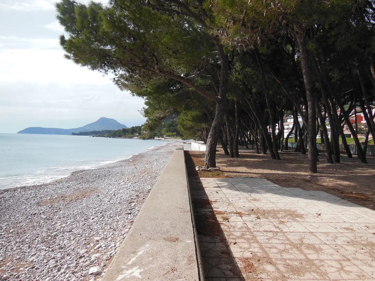
An easy and flat coastal walk in Bar from Šušanj to Topolica.
An easy 2.1 km walking trail in Bar connects Šušanj and Topolica. It is flat, takes about 30 min and passes by beaches and the town.
Bar: Šušanj – Topolica Promenade is an easy and completely flat walking trail in Bar. It is 2.1 km long and leads in one direction from Šušanj to Topolica. The lowest point is at 1 m above sea level, and the highest at 8 m above sea level.
The surface is mostly asphalt/concrete (92%), with a shorter dirt/forest section (8%). The trail passes by Žukotrlica Beach and Topolica Beach, and the town of Bar is about 0.3 km from the route. At the start and at 0.4 km there are shelters, both at 5 m above sea level.
A walk without breaks takes about 30 minutes. It is suitable for families, older adults and anyone looking for easy activity by the sea. Near the trail are also Red Beach (~1.4 km), Ratac (~2.3 km) and Crvena Stijena (~3.2 km). The trail is pleasant during most of the year.
What this difficulty means
Well-made paths with gentle gradients. Fine for families and anyone used to walking a few hours.
Move along the profile to follow the route on the map; switch on 3D for the terrain.
↑ 0 m · ↓ 0 m · highest point 8 m
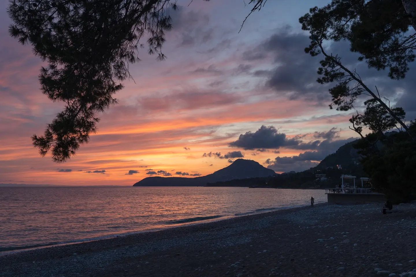
The closest place to the trail start, about 0.4 km from the start.
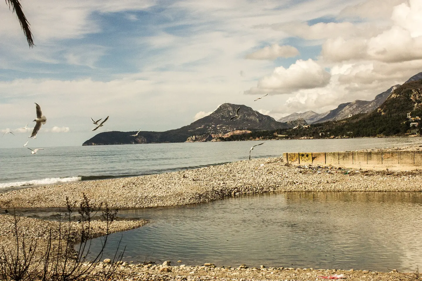
The town is about 0.3 km from the trail.
The trail passes by this beach, about 0.5 km from the route.
The trail passes by this beach, about 0.2 km from the route.
At the start and at 0.4 km there are shelters, both at 5 m above sea level.
Bring enough water, especially in the warmer part of the year.
Wear comfortable footwear – most of the trail is asphalt/concrete.
Protect yourself from the sun; by the sea the trail is mostly open.
Parking is located 1.7 km from the trail start.
Check the weather forecast; it can be windy by the sea.
The trail is flat and easy. In case of storms, use the shelters at the start and at 0.4 km. For emergencies, call 112.
Emergency number in Montenegro: 112.
Good to know
Best season
According to the data, the best months for walking are January, February, March, April, May, June, September, October, November and December.
Getting there
The start of the trail is nearest to Šušanj Beach, about 0.4 km from it. Parking is located 1.7 km from the trail start.
The trail is 2.1 km long and leads in one direction.
Without breaks, the walk takes about 30 minutes.
It is easy, with no ascents or descents (0 m).
January, February, March, April, May, June, September, October, November and December.
34.0 km↑ 832 m2½–3½ h
4.1 km↑ 87 m1½–2½ h

148 km↑ 2,604 m2–3 days
2.7 km↑ 194 m55–80 min
8.4 km↑ 398 m2½–4 h
Loop
9.2 km↑ 253 m3–4½ h
9.3 km↑ 366 m4–5½ h
5.9 km↑ 70 m2–2½ h
Times and grades are estimates. Conditions change: check the weather and local information before you set out.

Ask about Montenegro
Ask me about destinations, restaurants or activities.
