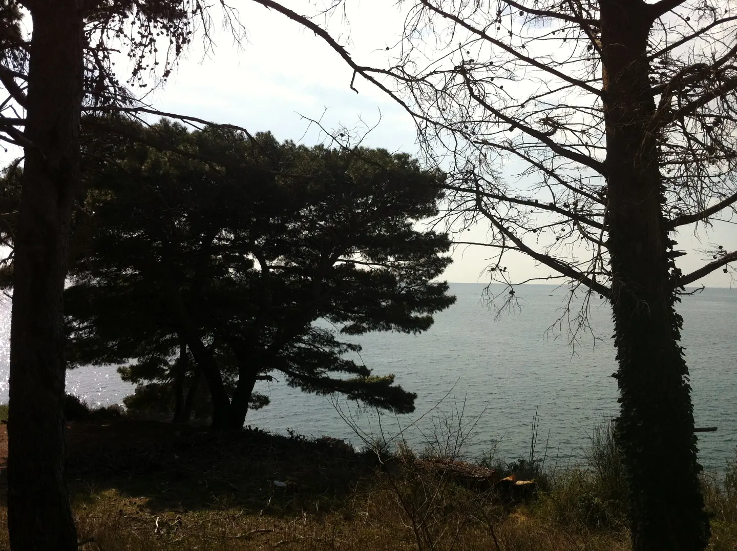
One-way hiking tour with a long descent, rocky and forest terrain, and a drinking fountain at the start.
The Sutomore – Popov Do (PPT) trail is a one-way hiking route 5,9 km long. With 70 m of ascent and 647 m of descent, it leads from higher elevations towards Popov Do, and at the start there is a drinking water fountain.
The Sutomore – Popov Do (PPT) trail is a one-way hiking tour 5,9 km long. It leads from higher elevations above Sutomore towards Popov Do, with a modest ascent of 70 m and a significant descent of 647 m. The highest point is at 668 m above sea level, and the lowest at 35 m above sea level. Estimated walking time without breaks is 2 h 15 min, and difficulty is moderate (SAC T2).
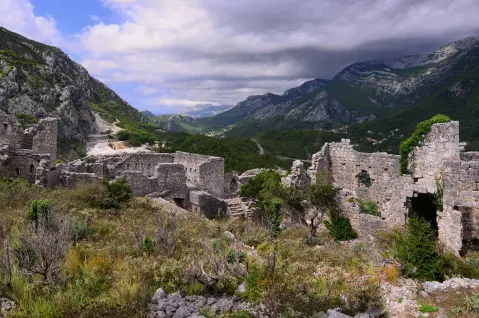
The terrain is a combination of earth/forest trail (50 %), rocky terrain (39 %) and short asphalt/concrete sections. Right at the start, at 0,1 km, there is a drinking water fountain at 611 m above sea level. Haj-Nehaj Fortress is about 2,6 km from the trailhead.
The trail ends at Popov Do, where at 5,8 km and 5,9 km from the start parking and bus stops are available. The trail is suitable for hikers of basic fitness who like one-way tours with a long descent.
What this difficulty means
Longer or steeper sections and uneven ground. You need basic fitness, sturdy shoes and a little mountain experience.
Mountain hiking grade SAC T2 (scale T1–T6).
Places on this route
Move along the profile to follow the route on the map; switch on 3D for the terrain.
↑ 70 m · ↓ 647 m · highest point 668 m
At 0,1 km from the trailhead there is a drinking water fountain – a convenient place to refill bottles before the descent.
At 5,8 km and 5,9 km from the start there are parking spaces, useful if you walk the trail in the opposite direction or arrange transport.
At 5,9 km from the trailhead there is a bus stop, which makes it easier to return from the end of the one-way route.
Sutomore, Ratac and Maljevik are 0,9–1,9 km from the trail, so the tour can be combined with a seaside holiday.
At 0,1 km from the start there is a drinking fountain; fill up water there and bring enough for the whole tour.
Wear hiking footwear with a good sole – 39 % of the trail is rocky.
The trail is one-way; plan your return from the end or use the bus stop at 5,9 km.
Check the weather forecast; during thunderstorms avoid open rocky parts.
In summer, start earlier or bring sun protection, because the lower parts are near the sea.
In case of thunderstorms, take shelter away from open rocky sections. Fog can reduce visibility on higher sections. In emergencies, call 112.
Emergency number in Montenegro: 112.
Good to know
Best season
Because of its low and moderate elevation range (35–668 m), the trail is suitable for most of the year. In the summer months, start early because of the heat, and in winter check the trail conditions on the higher sections.
Getting there
The trailhead is in the Sutomore area; the nearest reference point is Haj-Nehaj Fortress, about 2,6 km from the start. At the end of the trail (Popov Do), parking and bus stops are available.
The trail is 5,9 km long and runs in one direction (it is not a loop).
Estimated walking time without breaks is 2 h 15 min.
It is moderate (SAC T2), with a total ascent of 70 m and descent of 647 m. The highest point is 668 m, and the lowest is 35 m.
Yes, the trail is marked.
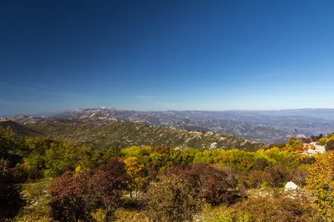
Hiking · Sutomore
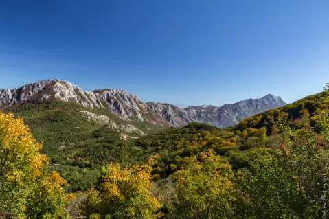
Hiking · Sutomore
Hiking · Sutomore
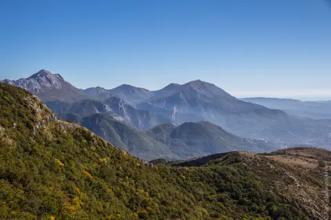
Hiking · Sutomore
Hiking · Sutomore
Hiking · Maljevik Beach
Hiking · Besac Fortress

Cycling · Ada Bojana · Lake Skadar
Times and grades are estimates. Conditions change: check the weather and local information before you set out. Map and data sources →

