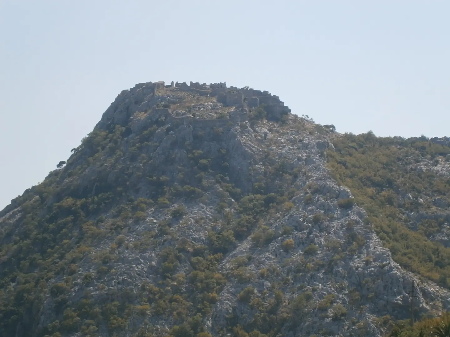
A short, rocky trail with an ascent of 166 m to the ruins of Haj-Nehaj.
A short hiking tour from Sutomore to the ruins of Haj-Nehaj. The trail is 0.9 km long, 100% rocky and marked, with an ascent of 166 m; it takes around 40 min to complete.
The Sutomore – Nehaj Fortress trail is a short one-way hiking tour, 0.9 km long. It starts in the Sutomore area and leads to the ruins of Haj-Nehaj. The lowest point is at 49 m a.s.l., and the highest at 222 m a.s.l., with a total ascent of 166 m and no descent.
The entire trail is rocky. It is marked with red markings on a white background. According to the SAC scale it is rated T2, and by our scale it is of moderate difficulty. Without breaks, the walk takes around 40 min. The trail is not circular, so plan your return by the same route.
Nearby are the beaches of Maljevik, Sutomore and Čanj, as well as Haj-Nehaj Fortress. The rocky terrain requires careful footing and appropriate footwear. Short but with a constant ascent, the trail is suitable for hikers who want a shorter tour in the coastal hinterland. Check the weather conditions before setting off.
What this difficulty means
Longer or steeper sections and uneven ground. You need basic fitness, sturdy shoes and a little mountain experience.
Mountain hiking grade SAC T2 (scale T1–T6).
Places on this route
Move along the profile to follow the route on the map; switch on 3D for the terrain.
↑ 166 m · ↓ 0 m · highest point 222 m
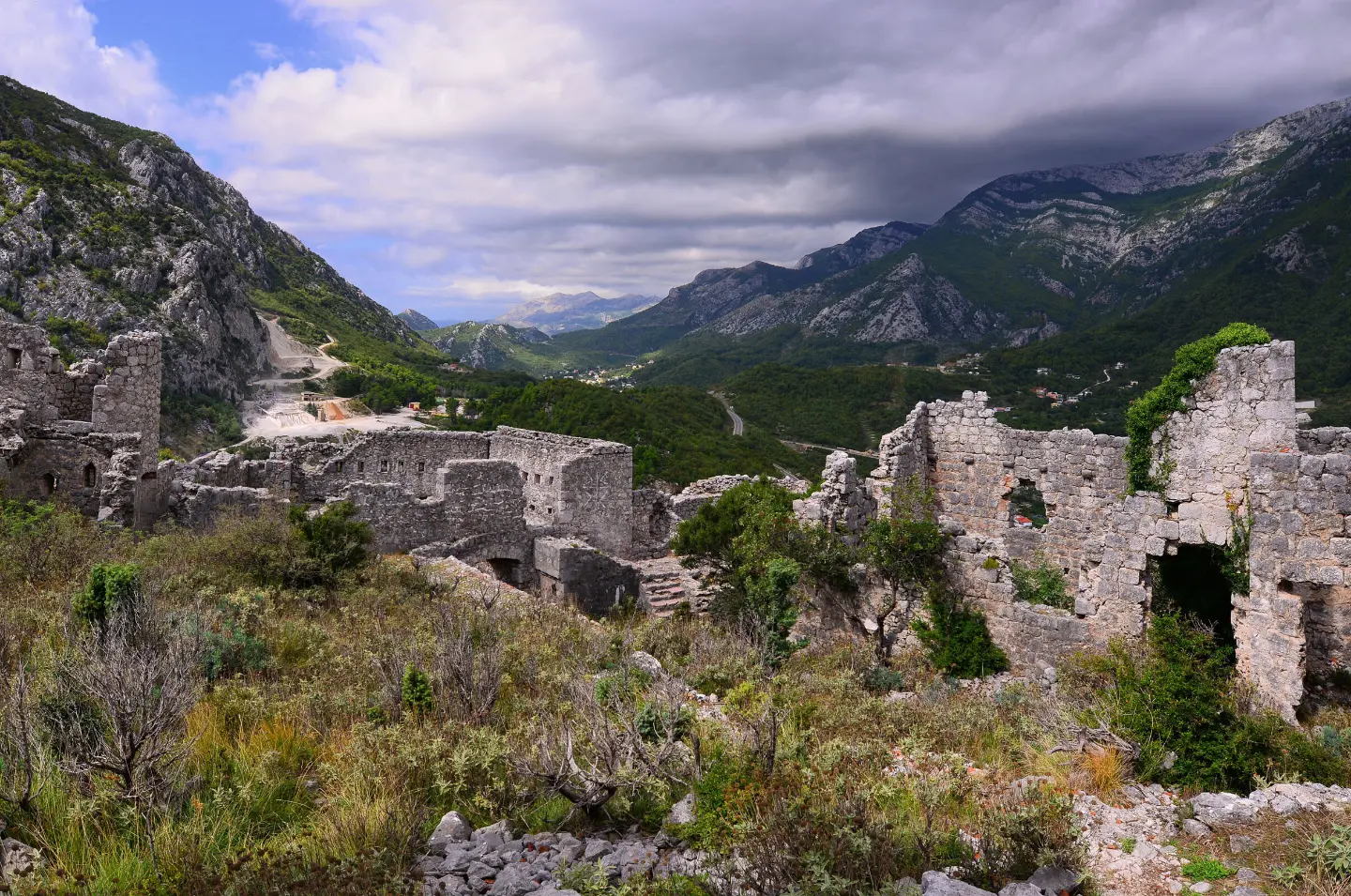
The trail leads to the ruins of Haj-Nehaj.
The closest point to the start of the trail; approximately 1.1 km away.
Sutomore Beach is approximately 2.3 km from the trail.
Čanj Beach is approximately 2.5 km from the trail.
Wear hiking boots with good grip, as the entire trail is rocky.
Bring enough water, especially during warm months.
Check the weather forecast; wet rock can be slippery.
Plan your return by the same route, as the trail is not circular.
Protect yourself from the sun with a hat and sunscreen.
Set off early in the morning during summer heat.
Rocky terrain requires sure footing and good footwear. Adjust your pace to your own abilities. In an emergency, call 112.
Emergency number in Montenegro: 112.
Good to know
Best season
The trail is at a low altitude, so it is suitable for most of the year. In summer, avoid the hottest part of the day and bring enough water.
Getting there
The start of the trail is closest to Maljevik beach, approximately 1.1 km away.
The trail is 0.9 km long.
Without breaks, the walk takes about 40 minutes.
It is of moderate difficulty; it is rated T2 on the SAC scale.
Yes, it is marked with red symbols on a white background.
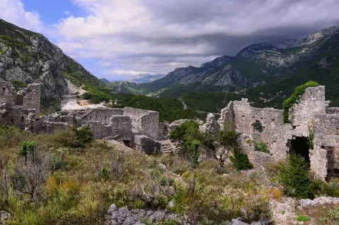
2.5 km↑ 206 m1½–2 h
0.4 km10–10 min
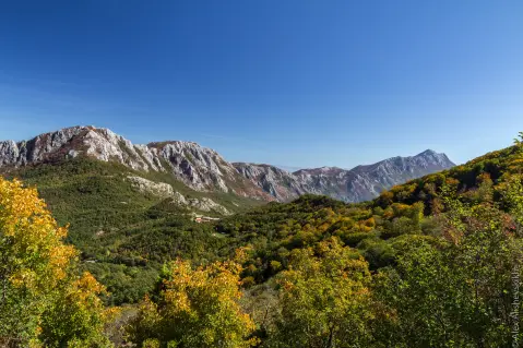
9.3 km↑ 366 m4–5½ h
5.9 km↑ 70 m2–2½ h
0.4 km10–10 min
0.4 km↑ 52 m15–20 min
17.0 km↑ 847 m6½–9 h
4.1 km↑ 87 m1½–2½ h
Times and grades are estimates. Conditions change: check the weather and local information before you set out.

Ask about Montenegro
Ask me about destinations, restaurants or activities.
