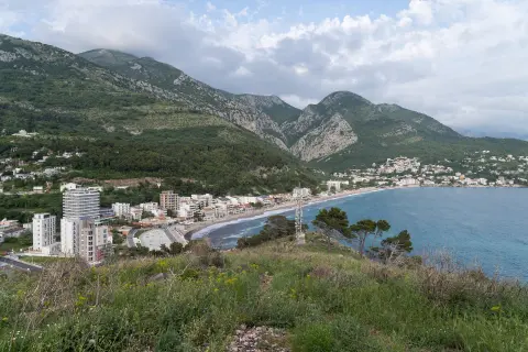
A short walk over rocky terrain with views of the coast near Sutomore.
An easy hiking trail, 0.4 km long, running in one direction over rocky terrain, with a gentle descent of 54 m. Suitable for all ages, with beaches and the Haj-Nehaj fortress nearby.
This short trail offers a quick and pleasant outing into nature near the Montenegrin coast. It is only 0.4 km long and can be covered in about 10 minutes of walking without breaks.
The trail runs in one direction only, so it is necessary to plan your return or transport to the starting point in advance. The terrain is entirely rocky, so footwear with a good rubber sole is recommended.
During the descent, a total drop of 54 m is covered — from the highest point at 193 m to the lowest at 127 m above sea level. There is no ascent, so the trail is easy to cover in this direction.
In the immediate vicinity are Maljevik beach, Čanj beach and Sutomore, and a little further away, Haj-Nehaj fortress. The trail is ideal as an additional activity during a stay on the coast, and is suitable for families with children and older visitors.
What this difficulty means
Well-made paths with gentle gradients. Fine for families and anyone used to walking a few hours.
Places on this route
Move along the profile to follow the route on the map; switch on 3D for the terrain.
↑ 0 m · ↓ 54 m · highest point 193 m
The closest point of interest to the start of the trail, about 1.1 km away — a great destination for a swim after the walk.
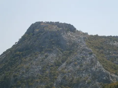
A historic fortress located about 1.2 km from the trail, worth a visit in combination with this excursion.
A popular beach situated about 2.2 km from the trail — easily accessible for an extended trip along the coast.
A well-known coastal destination about 2.8 km away, offering accommodation, restaurants and beaches.
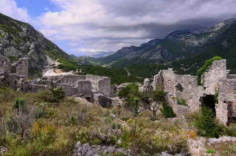
The trail passes through the characteristic rocky terrain of the Montenegrin coast, interesting and beautiful for a short hiking adventure.
Wear comfortable footwear with a good sole — the terrain is entirely rocky.
Bring enough water, especially in the summer months when temperatures are high.
The trail runs in one direction only — arrange transport or plan to return the same way.
Set off early in the morning or in the evening to avoid the midday heat.
Combine the trail with a visit to Haj-Nehaj fortress or one of the nearby beaches.
Rocky terrain can be slippery after rain, so be careful when walking. In case of emergency, call the emergency services on 112.
Emergency number in Montenegro: 112.
Good to know
Best season
The trail is available throughout the year thanks to its low altitude and coastal climate. Be most cautious on summer days due to high temperatures.
Getting there
The trailhead is located about 1.1 km from Maljevik beach. You can reach the area by car or from the nearby Sutomore, which is about 2.8 km away.
The trail is 0.4 km long.
The estimated duration without breaks is about 10 minutes.
The trail is rated as easy, with a total descent of 54 m and no ascent.
No, the trail goes in one direction — the start and end are not at the same place, so return transport needs to be planned.
2.5 km↑ 206 m1½–2 h
0.9 km↑ 166 m35–50 min
9.3 km↑ 366 m4–5½ h
5.9 km↑ 70 m2–2½ h
0.4 km10–10 min
0.4 km↑ 52 m15–20 min
17.0 km↑ 847 m6½–9 h
3.7 km↑ 20 m1½–2 h
Times and grades are estimates. Conditions change: check the weather and local information before you set out.

Ask about Montenegro
Ask me about destinations, restaurants or activities.
