Easy one-way walking tour through the forest, from Presjeka to M-1 Road.
A short one-way hiking trail from Presjeka to M-1 Road is 3.7 km long. It mostly descends along a forest path, with an ascent of only 20 m and a descent of 511 m, making it easy and taking about 1 h 35 min without breaks.
The trail begins at Presjeka (Presjeka pass, 672 m a.s.l.) near the mountain lodge Lovaćki dom. It immediately transitions into a dirt/forest path and gently descends to the end. The total ascent is only 20 m and the descent is 511 m, making it accessible even for recreational outings.
At around 2 km, the trail passes a spring at 406 m a.s.l., then continues through the forest and partly along a gravel road. The surface is 90% dirt/forest path and 10% gravel road. The trail is marked with red-and-white waymarks and leads one-way to M-1 Road.
The trail length is 3.7 km, and the estimated duration without breaks is about 1 h 35 min. The lowest point is at 173 m a.s.l., the highest at 668 m a.s.l. Nearby are the beaches of Čanj, Buljarica and Lučice, as well as the fortress Haj-Nehaj.
What this difficulty means
Well-made paths with gentle gradients. Fine for families and anyone used to walking a few hours.
Move along the profile to follow the route on the map; switch on 3D for the terrain.
↑ 20 m · ↓ 511 m · highest point 668 m
Along the way
The starting point of the trail at 672 m a.s.l.
A mountain lodge/hut at 680 m a.s.l., right at the beginning of the tour.
At around 2 km the trail passes a spring.
Most of the tour follows a dirt/forest path, with a smaller section on a gravel road.
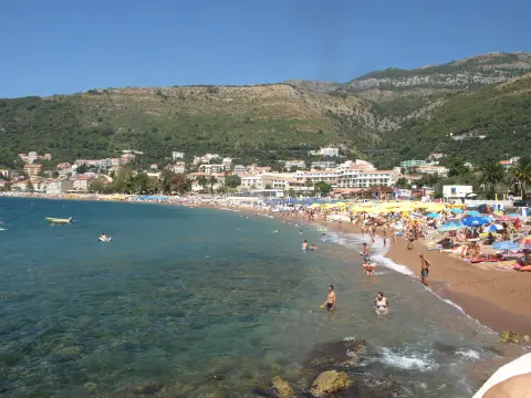
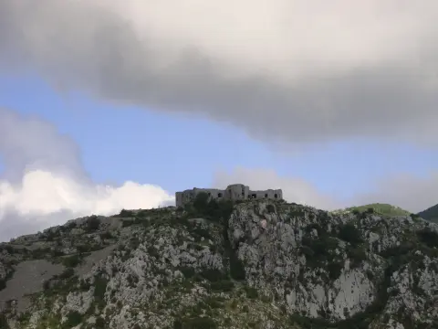
Nearby are the beaches of Čanj, Buljarica and Lučice, as well as the fortress Haj-Nehaj.
Bring enough water, especially during the summer months.
Wear shoes with deep rubber soles; the forested sections can be slippery.
The trail is not circular – plan your transport from M-1 Road in advance.
Follow the red-and-white waymarks on the trail.
Check the weather forecast; avoid setting out during thunderstorms.
The trail is easy, but on the forested sections slippery roots and rocks are possible. Respect the waymarks and weather conditions. In case of emergency call 112.
Emergency number in Montenegro: 112.
Good to know
Best season
It is best to walk from late spring to early autumn, when the trails are dry and temperatures are pleasant. During winter and rainy periods the dirt surface can become muddy.
Getting there
The start of the trail is at Presjeka, about 3.2 km from Buljarica beach. The end of the trail exits onto M-1 Road.
The trail is 3.7 km long.
The estimated duration without breaks is 1 h 35 min.
The trail is easy; the total ascent is 20 m, and the descent is 511 m.
No, the trail is one-way, from Prešjeka to M-1 Road.
4.0 km↑ 416 m1½–2½ h
3.3 km↑ 131 m60–85 min
15.9 km↑ 377 m4½–6 h

15.1 km↑ 107 m45–65 min
Loop0.4 km10–10 min
17.0 km↑ 847 m6½–9 h
5.9 km↑ 70 m2–2½ h
2.5 km↑ 206 m1½–2 h
Times and grades are estimates. Conditions change: check the weather and local information before you set out.

Ask about Montenegro
Ask me about destinations, restaurants or activities.
