A demanding single-day tour through forest and mountain terrain with views of the Adriatic coast.
The 15.9 km trail leads from Brajići through the mountainous area above Sveti Stefan down towards the coast. It is demanding, with a total ascent of 377 m and descent of 498 m, and passes by the Kosmač viewpoint, a spring, and the Mrtvica camp.
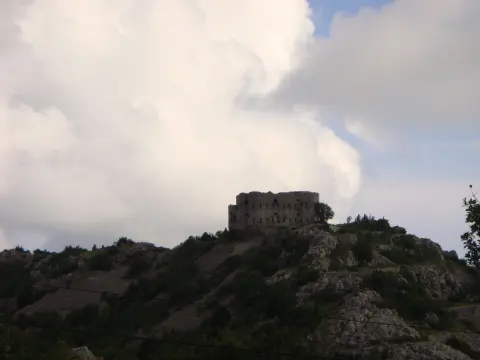
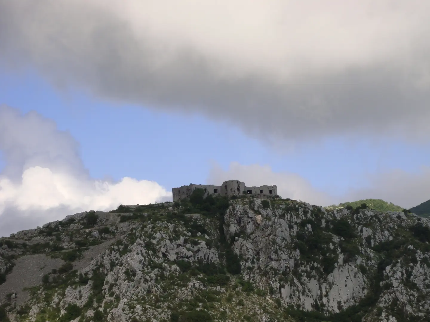
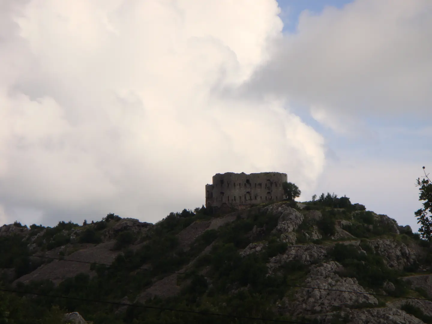
The trail begins at the Brajići bus stop and immediately offers a reward — within the first kilometre you reach the Kosmač viewpoint (811 m a.s.l.) with views of the Adriatic coast. Near the start of the trail is also the Kosmač Fortress. The terrain is predominantly earthy and forested (77%), with sections of unpaved road (23%).
After the viewpoint, the trail passes a spring at 809 m a.s.l. (2.1 km) and the Mrtvica camp (2.8 km). The middle section of the route is mountainous and requires good physical fitness. At 7.4 km you reach another viewpoint (679 m a.s.l.), and at 8.4 km a drinking water fountain (646 m a.s.l.).
The trail ends with a descent to a camp at 696 m a.s.l. (15.5 km from the start). Since the start and end points are not the same, it is necessary to arrange transport at both points. The trail is intended for experienced hikers in good physical condition.
What this difficulty means
Steep, rocky or exposed passages and a long day out. For fit, sure-footed hikers with mountain experience.
Move along the profile to follow the route on the map; switch on 3D for the terrain.
↑ 377 m · ↓ 498 m · highest point 881 m
Along the way
Photos and short clips from points along the route — tap one to open it.
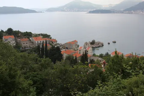
Just 1 km from the starting point, at 811 m a.s.l., a view opens towards the Adriatic coast and the surrounding mountain terrain.
Located about 0.5 km from the start of the trail, it is an interesting point of interest in the immediate vicinity of the starting point.
At 2.1 km from the start, you find yourself beside a spring situated almost at the highest point of the route.
At 2.8 km and 766 m a.s.l., it offers the opportunity to rest or camp in a mountain setting.
At 8.4 km from the starting point (646 m a.s.l.) you can replenish your water supplies and take a break at the midpoint of the route.
Set off early in the morning to reach the Kosmač viewpoint while visibility is good.
Bring enough water — the fountain is not until 8.4 km from the start.
Wear hiking boots with good soles; the forest trail can be slippery in wet weather.
The trail is one-way — arrange transport to the starting point and from the end point in advance.
Carry a light rain hat or jacket, as weather conditions in mountain terrain can change quickly.
Allow 5 hours and 5 minutes of walking without breaks; plan for a full day in total.
In mountain terrain, weather conditions can change suddenly — in the event of thunder or fog, take shelter and wait for conditions to improve. Carry a fully charged phone battery; in an emergency call 112.
Emergency number in Montenegro: 112.
Good to know
Best season
The trail is most suitable from late spring to autumn (May–October). In winter months, higher sections of the route may be slippery or covered in snow.
Getting there
The starting point is located at the Brajići bus stop. Since the trail is one-way, it is recommended to arrange transport to the start and from the end point.
The trail is 15.9 km long. The estimated walking time without breaks is 5 h 5 min.
The trail is rated as demanding, with a total ascent of 377 m and a descent of 498 m. It is recommended for experienced hikers in good physical condition.
Yes, the trail is marked.
The trail is passable in the warmer part of the year. Avoid it in bad weather, strong winds, or in winter when there may be snow and ice on the higher sections.
6.6 km↑ 764 m3–4 h
8.8 km↑ 130 m2–3 h
4.2 km↑ 572 m2–3 h
1.1 km↑ 24 m15–25 min
0.9 km25–35 min
1.6 km↑ 204 m45–65 min
4.6 km1½–2 h
1.4 km↑ 44 m50–70 min
Times and grades are estimates. Conditions change: check the weather and local information before you set out.

Ask about Montenegro
Ask me about destinations, restaurants or activities.