Easy 1.1 km hike with a drinking fountain, the spring of Saint Sava, and nearby Sveti Stefan.
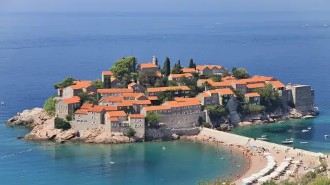
Easy one-way trail 1.1 km long, with red-and-white markings. Along the way there are a drinking fountain and the spring of Saint Sava, and nearby are Sveti Stefan and the beaches of Pržno, Sveti Stefan and Miločer.
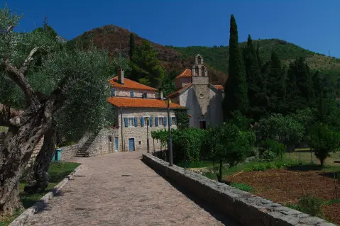
The Ćelobrdo – Blizikuće – Paštrovska gora trail is an easy one-way hike, 1.1 km long. It mostly follows an earth and forest path (87%), with a small asphalt/concrete section (11%). Total ascent is 24 m and descent is 40 m, so it is suitable for both beginners and families.
The hike starts at a drinking water fountain at 291 m above sea level. At 0.4 km there is the Spring of Saint Sava (266 m above sea level). The highest point of the trail is 293 m above sea level, and the lowest is 249 m above sea level. At 1.1 km from the start there is a car park.
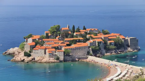
The trail is marked with red-and-white markings. Nearby are Sveti Stefan (about 0.6 km from the trail), Pržno beach (about 1.1 km from the start), Sveti Stefan beach and Miločer beach. The estimated duration without breaks is 20 minutes.
What this difficulty means
Well-made paths with gentle gradients. Fine for families and anyone used to walking a few hours.
Move along the profile to follow the route on the map; switch on 3D for the terrain.
↑ 24 m · ↓ 40 m · highest point 293 m
Along the way
Located 0.4 km from the trailhead, at 266 m above sea level.
Right at the start of the trail, at 291 m above sea level.
Near the trail, about 0.6 km from it.
The nearest place to the trailhead, about 1.1 km from the start.
Wear light hiking or sports footwear because the trail is mostly earth/forest.
There is a drinking fountain at the start of the trail, and a spring at 0.4 km; still, bring water.
Protect yourself from the sun, especially in summer.
Check the weather forecast before setting off.
There is a car park 1.1 km from the start of the trail.
The trail is short and easy, but it is always good to inform someone about your plan. In case of bad weather, take shelter in lower areas. The emergency number in Montenegro is 112.
Emergency number in Montenegro: 112.
Good to know
Best season
The trail is at a low elevation (249–293 m) and close to the coast, so it is suitable during most of the year. In summer, it is most pleasant to walk early in the morning or in the early evening.
Getting there
The nearest place to the trailhead is Pržno beach, about 1.1 km away. At 1.1 km from the trailhead there is a car park.
The trail is 1.1 km long.
The estimated duration without breaks is 20 minutes.
The trail is of easy difficulty, suitable for beginners and families.
Yes, it is marked with red and white markings.
4.2 km↑ 572 m2–3 h
1.6 km↑ 204 m45–65 min
0.9 km25–35 min
8.8 km↑ 130 m2–3 h
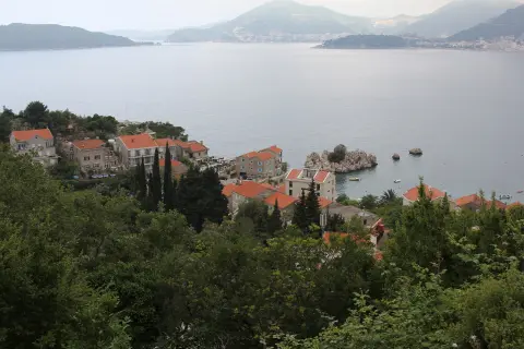
6.6 km↑ 764 m3–4 h
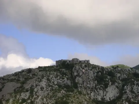
15.9 km↑ 377 m4½–6 h
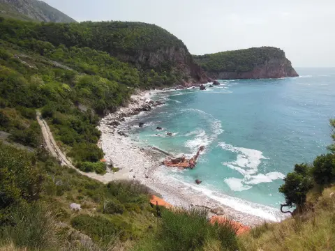
4.6 km1½–2 h
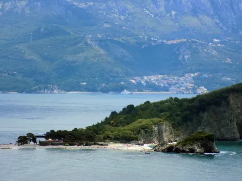
1.4 km↑ 44 m50–70 min
Times and grades are estimates. Conditions change: check the weather and local information before you set out.

Ask about Montenegro
Ask me about destinations, restaurants or activities.
