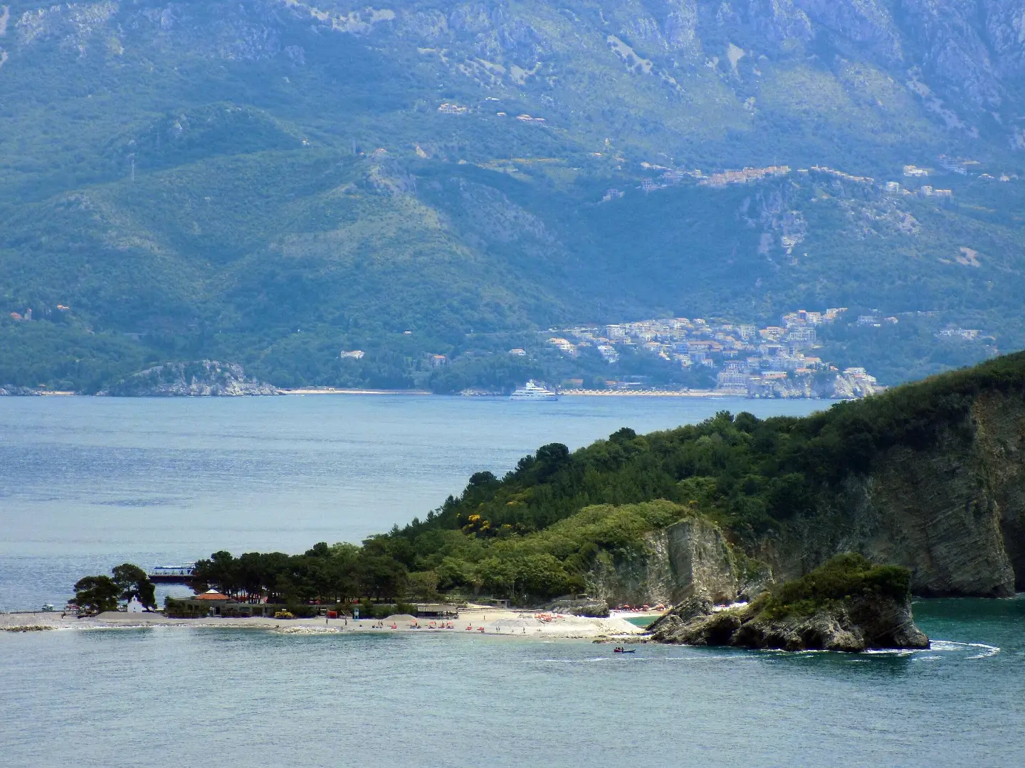
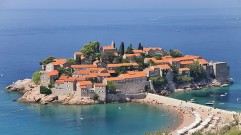
A gentle walk along a forest trail on the only Montenegrin coastal island.
A short and easy 1.4 km walking trail leads through the nature of Sveti Nikola Island. It is suitable almost year-round and excellent for a break from Budva's city bustle.
The trail on Sveti Nikola Island runs exclusively on dirt and forest surface, with no asphalt or rocky sections. Its total length is 1.4 km, and it follows an out-and-back route along the same path. An ascent of 44 m and a descent of 54 m make it easy for almost all ages.
The lowest point of the trail is at only 3 m above sea level, while the highest reaches 50 m. Walking without breaks takes about 1 hour, but feel free to allow more time for rest and sightseeing.
From the island, there is a view towards the Budva coast, and nearby are Budva Citadel, Slovenska Beach and Mogren Beach — all accessible from the mainland. The trail is ideal for families with children, recreational walkers and anyone who wants a peaceful outing in nature by the sea.
What this difficulty means
Well-made paths with gentle gradients. Fine for families and anyone used to walking a few hours.
Move along the profile to follow the route on the map; switch on 3D for the terrain.
↑ 44 m · ↓ 54 m · highest point 50 m
The entire trail follows dirt and forest surface, providing pleasant shade and contact with nature.
At about 1.3 km from the trail lies Budva Citadel, one of the most recognizable landmarks of the Montenegrin coast.
One of Budva's most popular beaches, about 1.8 km from the trail — perfect for swimming after the walk.
A picturesque beach about 1.8 km from the trail, known for its lovely setting beneath the cliffs.
Bring enough water, because there are no known springs or drink stations along the trail.
Wear comfortable shoes with good grip, because the surface is dirt and can be slippery after rain.
Set off in the morning to avoid the summer heat and crowds on the ferry line to the island.
In summer, wear sun protection — the tree canopy can be thinner in some parts of the trail.
Bring a light jacket in spring and autumn, because the sea breeze can be refreshing but also cooler than expected.
The trail is not recommended to visit in July and August if you dislike crowds — choose morning hours.
The trail is easy and short, but bring enough water and be careful on the wet dirt surface after rain. In case of emergency, call 112.
Emergency number in Montenegro: 112.
Good to know
Best season
The trail is recommended from January to June and from September to December. During July and August, the heat can be intense, so an excursion to the island is still possible with good preparation.
Getting there
The trail starts on Sveti Nikola Island, which is accessible by boat transfer from the Budva coast. The nearest boarding point is right next to the beach on the island.
The trail is 1.4 km long and follows an out-and-back route along the same path.
The estimated walking time without breaks is about 1 hour. With breaks and sightseeing, allow a bit more time.
The trail is rated as easy. Total ascent is 44 m, and descent 54 m, with the highest point at 50 m above sea level.
The trail is suitable almost all year round — from January to June and from September to December. In summer, it is possible, but you should expect heat and larger crowds.
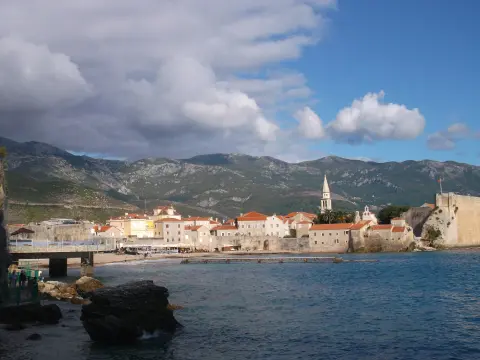
1.0 km↑ 17 m15–25 min
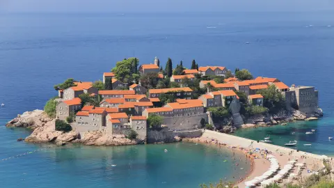
8.8 km↑ 130 m2–3 h
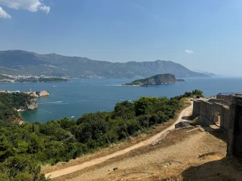
3.1 km↑ 169 m65–90 min
6.6 km↑ 764 m3–4 h
1.6 km↑ 204 m45–65 min
4.2 km↑ 572 m2–3 h
0.9 km25–35 min
1.1 km↑ 24 m15–25 min
Times and grades are estimates. Conditions change: check the weather and local information before you set out.

Ask about Montenegro
Ask me about destinations, restaurants or activities.
