A leisurely coastal walk from Mogren beach to Jaz beach with several viewpoints above the sea.
The 3.1 km trail follows the coastal ridge from Mogren beach to Jaz beach. It is easy, runs mostly along a woodland path, and offers several viewpoints over the sea. Estimated at around 1 h 15 min of walking without stops.
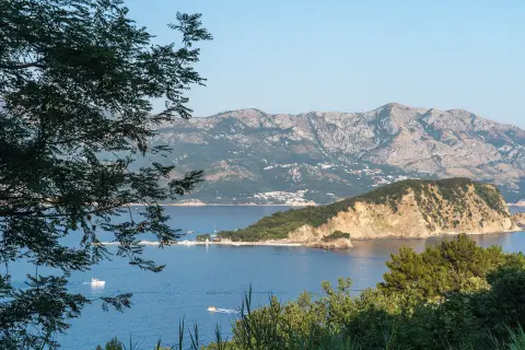
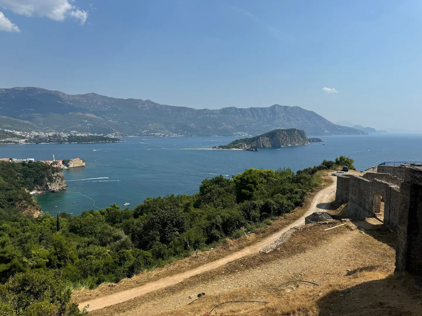
The trail starts from Mogren beach and immediately climbs up the coastal ridge. Within the first half kilometre you encounter several viewpoints at altitudes between 71 and 87 m a.s.l. — from here there are views out to sea and along the surrounding coastline.
The trail continues along the ridge, reaching its highest point at 133 m a.s.l., then descends gently. At around 2.0 km from the start there is another viewpoint at 94 m a.s.l., offering a wide view towards Jaz. The total ascent is 169 m and the total descent is 166 m.
The surface is predominantly earth and woodland path (88 %), with a smaller section (10 %) consisting of asphalt and concrete surfaces. The trail is one-way — it ends at Jaz beach, so it is useful to arrange your return in advance.
It is suitable for beginners, families and anyone looking for a short activity by the sea. Nearby are Budva, the Citadel of Budva and Slovenska beach.
What this difficulty means
Well-made paths with gentle gradients. Fine for families and anyone used to walking a few hours.
Move along the profile to follow the route on the map; switch on 3D for the terrain.
↑ 169 m · ↓ 166 m · highest point 133 m
Along the way
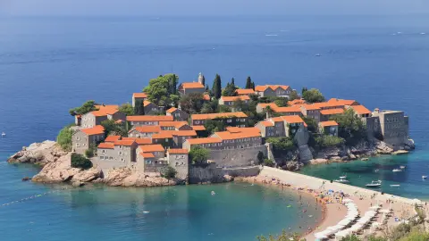
Photos and short clips from points along the route — tap one to open it.
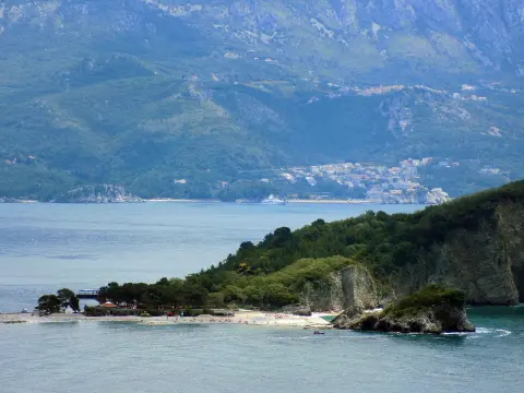
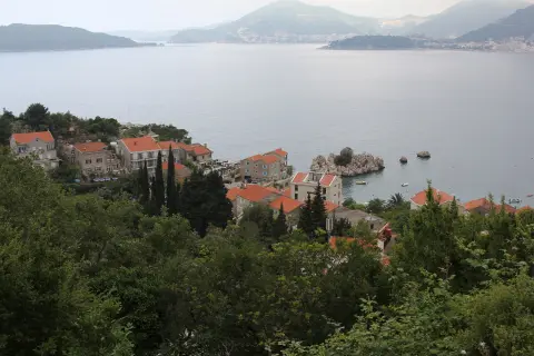
In the first half kilometre of the trail a series of viewpoints appear between 71 and 87 m a.s.l., with open views towards the Adriatic Sea and the coastline.
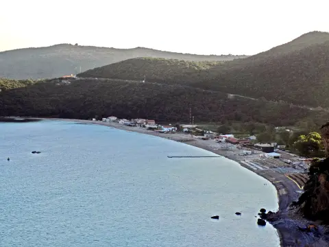
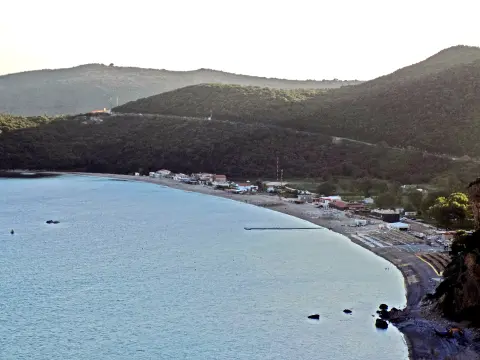
At around 2.0 km from the start, the viewpoint at 94 m a.s.l. opens up a view towards Jaz beach and the surrounding headlands.
The end point of the trail is near Jaz beach — an ideal spot to rest and cool off after the walk.
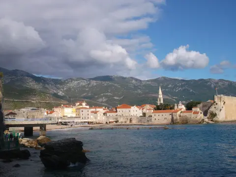
The trail is around 1.7 km from Budva and around 0.8 km from the Citadel of Budva, making it easy to combine with a visit to the town.
Bring enough water, especially in summer when temperatures are high.
Wear comfortable footwear with good grip — the earthen path can be slippery after rain.
The trail is one-way; arrange transport or your return from Jaz in advance.
Set off in the morning to avoid the midday heat during the summer months.
Bring sun protection and a hat — sections of the trail are exposed to the sun.
On spring and autumn days sudden showers are possible — keep an eye on the weather forecast.
The trail is easy, but sections of the ridge can be steep and slippery after rain — walk with care. Along the coast there may be strong winds. In case of emergency call 112.
Emergency number in Montenegro: 112.
Good to know
Best season
The trail is suitable throughout the year. It is especially recommended from September to June, when temperatures are milder; in July and August the walk is possible, but avoid the hottest part of the day.
Getting there
The trail begins at Mogren beach, located immediately to the west of Budva town centre. You can reach Mogren on foot from the centre of Budva or park near the Budva promenade.
The trail is 3.1 km long and is one-way — it starts at Mogren beach and ends near Jaz beach.
The estimated walking time without stops is 1 h 15 min. Allow a little more time if you plan to stop at the viewpoints.
The trail is rated as easy, with a total elevation gain of 169 m. It is suitable for beginners, families, and recreational hikers.
The trail is open throughout the year. It is recommended from January to June and from September to December, when temperatures are more pleasant for hiking.
1.0 km↑ 17 m15–25 min
8.8 km↑ 130 m2–3 h
3.6 km↑ 246 m1–1½ h
1.4 km↑ 44 m50–70 min
6.6 km↑ 764 m3–4 h
1.6 km↑ 204 m45–65 min
4.2 km↑ 572 m2–3 h
0.9 km25–35 min
Times and grades are estimates. Conditions change: check the weather and local information before you set out.

Ask about Montenegro
Ask me about destinations, restaurants or activities.