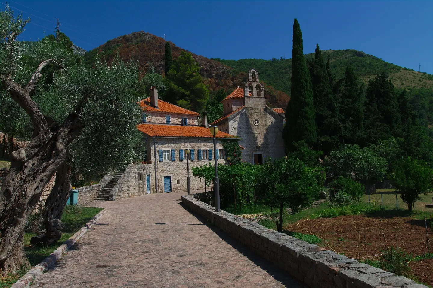
A one-way hiking trail of 4.2 km with 572 m of ascent and views of the area around Sveti Stefan.
The hiking trail Monastery Praskvica – Čelobrdo – Ograđenica is 4.2 km long, with a total ascent of 572 m and a duration of approximately 2 h 25 min of walking without breaks. It is one-way, of moderate difficulty, and marked with red-and-white trail markers.
The trail Monastery Praskvica – Čelobrdo – Ograđenica is a one-way hiking route 4.2 km in length, with a total ascent of 572 m and no descent. It starts at 68 m above sea level and ends at the highest point of 644 m above sea level. The surface is mostly asphalt/concrete (51%) and gravel road (45%).
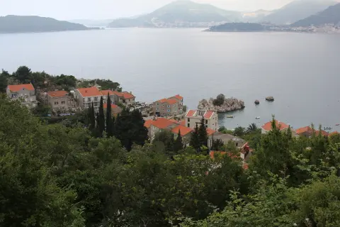
At the start of the trail there is a parking area, and the nearest beach is Miločer, about 0.4 km away. Along the trail there are several drinking water fountains: at 0.2 km, 1.0 km, 1.6 km, and 4.2 km. At 1.0 km from the start there is also a viewpoint at 247 m above sea level. The trail passes close to Pržno beach (about 0.6 km), and Sveti Stefan is approximately 0.7 km away.
Due to the constant ascent and the partly unpaved surface, the route is of moderate difficulty. It is intended for hikers with a basic level of fitness. Longer breaks are not included in the estimated duration of 2 h 25 min.
Nearby are also the beaches of Sveti Stefan and Kamenovo, making this trail a good choice for combining hiking with time by the sea.
What this difficulty means
Longer or steeper sections and uneven ground. You need basic fitness, sturdy shoes and a little mountain experience.
Move along the profile to follow the route on the map; switch on 3D for the terrain.
↑ 572 m · ↓ 0 m · highest point 644 m
At 1.0 km from the start of the trail there is a viewpoint.
Drinking water fountains are located at 0.2 km, 1.0 km, 1.6 km, and 4.2 km from the start.
A parking area is provided right at the start of the trail.
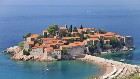
The iconic Sveti Stefan is about 0.7 km from the trail.
The trail passes by Pržno beach at about 0.6 km.
The trail is one-way – arrange your return or transport from the end point in advance.
Although there are drinking fountains along the trail, bring enough water, especially during the summer months.
Set off in the early morning hours to avoid the greatest heat.
Wear sturdy footwear; most of the walk is on asphalt/concrete and gravel road.
Check the weather forecast and bring sun protection.
Check the weather forecast before setting out and avoid ascending in thunderstorms or fog. Bring enough water and a fully charged phone. For emergencies in Montenegro, call 112.
Emergency number in Montenegro: 112.
Good to know
Best season
The best time to hike is in spring and autumn, when temperatures are milder. In summer, an early start is recommended to avoid the hottest part of the day.
Getting there
The start of the trail is reached from Miločer beach, which is about 0.4 km away. There is a parking area right at the start of the trail.
The trail is 4.2 km long, with a total ascent of 572 m and a total descent of 0 m.
The estimated duration without breaks is 2 h 25 min.
The trail is of moderate difficulty, with a steady incline.
Yes, the trail is marked with red-and-white markings.
1.6 km↑ 204 m45–65 min
0.9 km25–35 min
8.8 km↑ 130 m2–3 h
1.1 km↑ 24 m15–25 min
6.6 km↑ 764 m3–4 h
4.6 km1½–2 h
15.9 km↑ 377 m4½–6 h
1.4 km↑ 44 m50–70 min
Times and grades are estimates. Conditions change: check the weather and local information before you set out.

Ask about Montenegro
Ask me about destinations, restaurants or activities.
