Easy one-way walk from Praskvica Monastery to the Church of Saint Sava: 1.6 km and 204 m of ascent.
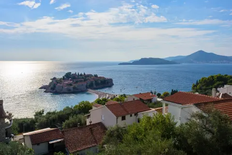
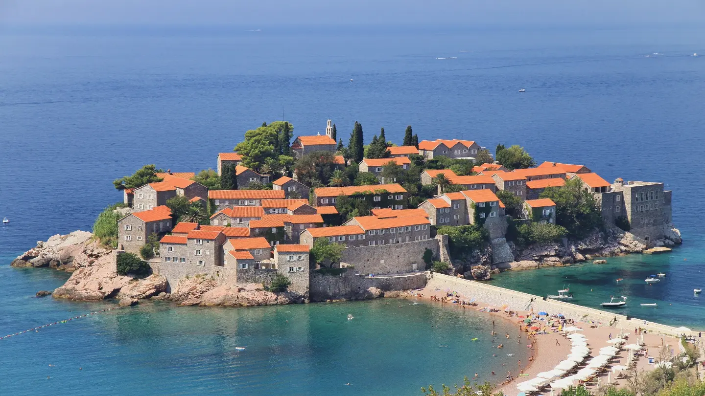
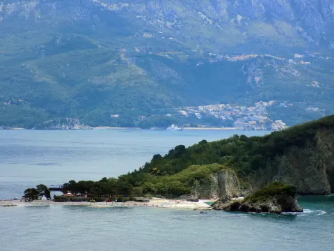
A 1.6 km trail leads from Praskvica Monastery to the Church of Saint Sava. It has 204 m of ascent, rocky terrain and a viewpoint at 264 m a.s.l.; it passes by Sveti Stefan and the beaches.
The trail begins at the car park at 0.0 km, near Praskvica Monastery, and leads in one direction to the Church of Saint Sava. It is 1.6 km long, with a total ascent of 204 m and a descent of 6 m. The lowest point is at 68 m a.s.l. and the highest at 276 m a.s.l. The trail is rated as easy.
At 0.2 km from the start there are two drinking water fountains: at 76 m and 82 m a.s.l. At 0.6 km there is a shelter at 212 m a.s.l. Near the end of the trail, at 1.6 km, there is a viewpoint at 264 m a.s.l.
The terrain is predominantly rocky (64%), with 15% asphalt/concrete, 15% gravel road and 6% dirt/forest path. The trail passes by Sveti Stefan and the beaches of Pržno and Sveti Stefan, and nearby are the beaches of Miločer, Galija, Kamenovo and Rafailovići.
The trail is marked with red-and-white waymarks. It is suitable for a leisurely walk, but it is one-way, so the return journey needs to be planned in advance.
What this difficulty means
Well-made paths with gentle gradients. Fine for families and anyone used to walking a few hours.
Move along the profile to follow the route on the map; switch on 3D for the terrain.
↑ 204 m · ↓ 6 m · highest point 276 m
Along the way
Photos and short clips from points along the route — tap one to open it.
At 0.2 km from the trail start there are two fountains, at 76 m and 82 m a.s.l.
At 0.6 km from the trail start there is a shelter, useful for a short rest or taking cover.
At 1.6 km from the start, at 264 m a.s.l., there is a viewpoint; the highest point of the trail is 276 m a.s.l.
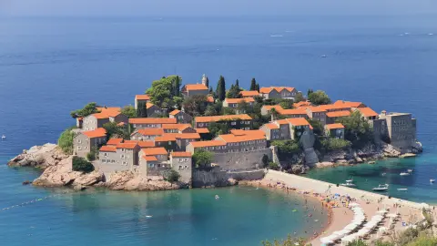
Near the trail are Sveti Stefan, Pržno beach and Sveti Stefan beach, as well as the beaches of Miločer, Galija, Kamenovo and Rafailovići.
Wear shoes with a stable sole – 64% of the trail is rocky terrain.
Carry enough water even though there are fountains at the start.
In summer set off early in the morning or in the late afternoon because of the heat and exposed sections.
The trail is one-way, so plan your return or transport in advance.
Follow the red-and-white waymarks.
The trail is mostly rocky – watch your step carefully. In hot weather carry water and sun protection, and in the event of a storm move away from the viewpoint. In emergencies call 112.
Emergency number in Montenegro: 112.
Good to know
Best season
The most pleasant period for walking is spring and autumn; in summer it is warm due to the low elevation, so an early morning or late afternoon departure is recommended.
Getting there
The trail start is reached via an approach from Miločer beach (approximately 0.4 km). There is a car park at the trail start (0.0 km), and a second car park is 1.5 km from the start.
It is 1.6 km long and goes in one direction from Praskvica Monastery to the Church of Saint Sava.
The estimated duration without breaks is 55 minutes. The trail is easy.
The total ascent is 204 m and the descent is 6 m. The lowest point is at 68 m a.s.l. and the highest at 276 m a.s.l.
Yes, the trail is marked with red-and-white markings.
4.2 km↑ 572 m2–3 h
0.9 km25–35 min
8.8 km↑ 130 m2–3 h
1.1 km↑ 24 m15–25 min
6.6 km↑ 764 m3–4 h
4.6 km1½–2 h
15.9 km↑ 377 m4½–6 h
1.4 km↑ 44 m50–70 min
Times and grades are estimates. Conditions change: check the weather and local information before you set out.

Ask about Montenegro
Ask me about destinations, restaurants or activities.