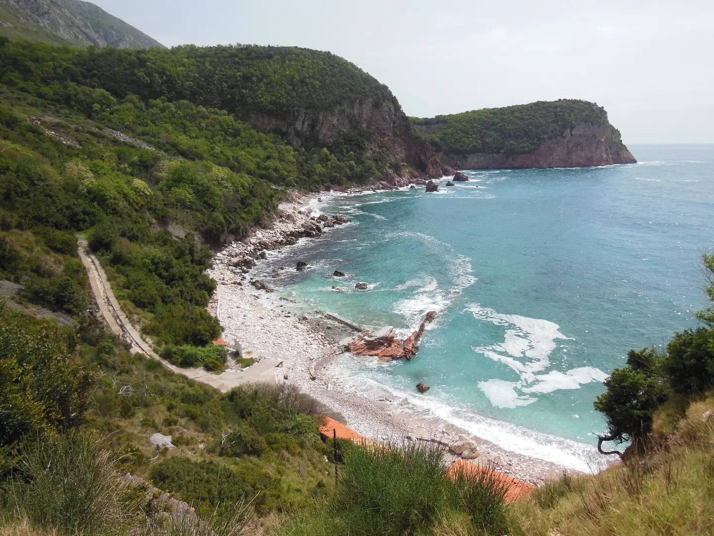
Easy one-way hiking trail with 515 m of descent, from a water fountain at 646 m a.s.l. to the Blizikuće bus stop.
Easy one-way hiking trail of 4.6 km, with 515 m of descent. It starts from a water fountain at 646 m a.s.l. and descends to the Blizikuće bus stop at 124 m a.s.l., passing near Galija beach.
The trail begins at a drinking water fountain at 646 m a.s.l. and descends in one direction to the Blizikuće bus stop at 124 m a.s.l. The length is 4.6 km, and the total descent is 515 m; there is no ascent. The trail is easy and marked, making it suitable for less experienced hikers.
The surface is approximately half asphalt or concrete, and half rocky terrain. The first section is on asphalt or concrete, followed by rocky terrain; both sections are easily passable. Near the trail are Galija beach, Drobni Pijesak, Sveti Stefan beach, and Miločer beach, so you can take a break at the beach or rest for a while.
At the end of the trail there is a parking area and the Blizikuće bus stop. Since the trail is one-way, plan your return or transport back to the starting point.
What this difficulty means
Well-made paths with gentle gradients. Fine for families and anyone used to walking a few hours.
Move along the profile to follow the route on the map; switch on 3D for the terrain.
↑ 0 m · ↓ 515 m · highest point 644 m
Along the way
Located at the very beginning of the trail, at 646 m a.s.l.
The trail passes near Galija beach, about 0.4 km from it.
Near the trail, about 1.1 km away.
Near the trail, about 1.2 km away.
Near the trail, about 1.7 km away.
There is a water fountain at the start, so fill up your bottle; for the rest of the trail, bring enough water.
Wear footwear suitable for rocky terrain, especially for the second section of the trail.
The trail is one-way and descends 515 m – plan your return or transport from the end.
Check the weather forecast before setting out; rocky terrain can be slippery after rain.
Bring layered clothing, as the start is at 646 m a.s.l. and the end is at 124 m a.s.l.
The trail is easy, but it descends throughout its entire length. On the rocky section, watch out for loose stones, especially after rain. In case of an emergency, call 112.
Emergency number in Montenegro: 112.
Good to know
Best season
The trail can be hiked throughout the entire year. The most pleasant period is usually spring and autumn; in summer, set out earlier due to high temperatures.
Getting there
The trailhead is about 2.0 km from Sveti Stefan. At the end of the trail, near the Blizikuće bus stop, there is a parking area.
The trail is 4.6 km long and goes in one direction.
The estimated duration without breaks is 1 h 40 min.
The trail is easy. There are no ascents, and the total descent is 515 m.
The surface is approximately half asphalt or concrete, and half rocky terrain.
It starts at the fountain at 646 m above sea level, and ends at the Blizikuće bus stop at 124 m above sea level.
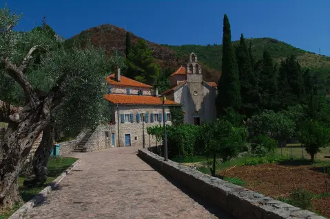
4.2 km↑ 572 m2–3 h
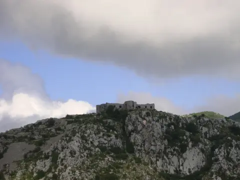
15.9 km↑ 377 m4½–6 h
1.1 km↑ 24 m15–25 min
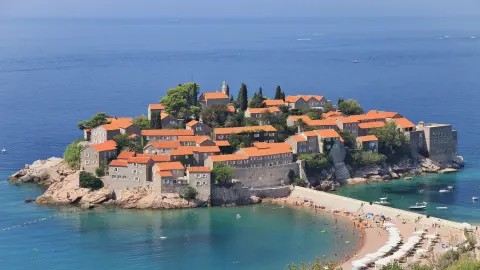
1.6 km↑ 204 m45–65 min
0.9 km25–35 min
8.8 km↑ 130 m2–3 h
6.6 km↑ 764 m3–4 h
1.2 km↑ 73 m30–40 min
Times and grades are estimates. Conditions change: check the weather and local information before you set out.

Ask about Montenegro
Ask me about destinations, restaurants or activities.
