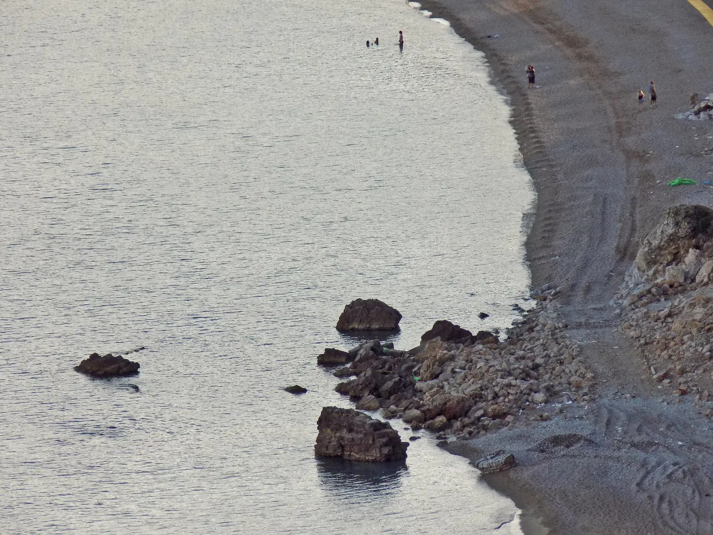
A short and easy walking tour from Jaz Beach via the viewpoint to Seoce, with mixed asphalt and forest surface.
An easy one-way walking trail from Jaz Beach via Prijevor to Seoce: 3.6 km, 246 m of ascent and 79 m of descent. Suitable for a relaxed outing, with a viewpoint at 71 m above sea level and close to Budva and the beaches.
The trail starts near Jaz Beach and leads one way via Prijevor to Seoce. The first section is a short ascent to the viewpoint at 71 m above sea level, which is located about 0.2 km from the start. The trail is 3.6 km long, with a total ascent of 246 m and a descent of 79 m. The lowest point is at 3 m above sea level, and the highest at 208 m above sea level. The estimated walking time without breaks is 1 hour and 25 minutes.
The surface is mixed: asphalt or concrete makes up 57%, while dirt and forest trail makes up 43%. Therefore, it is useful to have comfortable footwear, although the trail is rated as easy and has a T1 rating on the SAC hiking scale.
The trail is suitable for a relaxed walking tour. Nearby are Mogren Beach, Slovenska Beach and Budva, so the outing can easily be combined with exploring the surroundings.
What this difficulty means
Well-made paths with gentle gradients. Fine for families and anyone used to walking a few hours.
Mountain hiking grade SAC T1 (scale T1–T6).
Places on this route
Move along the profile to follow the route on the map; switch on 3D for the terrain.
↑ 246 m · ↓ 79 m · highest point 208 m
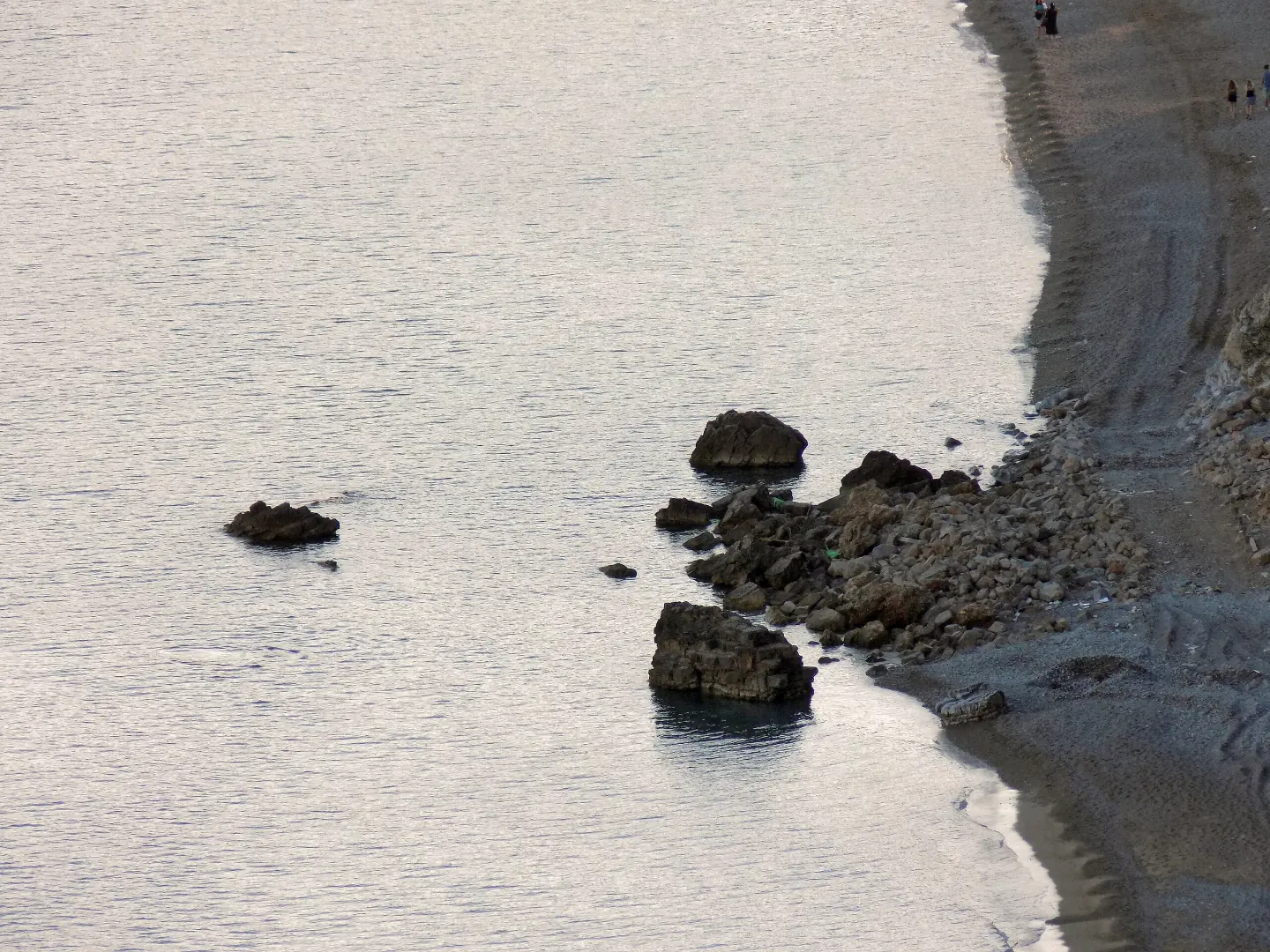
The closest place to the start of the trail, about 0.3 km away.
It is located about 0.2 km from the start of the trail, and there is a short ascent to reach it.
Mogren Beach and Slovenska Beach are about 1.3–1.4 km from the trail, and Budva about 1.3 km.
Bring enough water, especially in the warmer part of the year.
Wear comfortable footwear because part of the trail passes over dirt and forest surfaces.
Check the weather forecast before setting off; after rain, dirt sections can be slippery.
In July and August, start earlier and bring sun protection.
Keep your mobile phone charged; in an emergency, call 112.
The trail is easy, but on dirt and forest sections it can be slippery after rain. Keep an eye on weather conditions and bring a charged mobile phone. In an emergency, call 112.
Emergency number in Montenegro: 112.
Good to know
Best season
The best months are listed as January–June and September–December. In July and August it can be warmer, so it is a good idea to adjust the departure time.
Getting there
The closest place to the start of the trail is Jaz Beach, about 0.3 km away. The trail is near Budva, about 1.3 km away.
The trail is 3.6 km long and leads one way.
The estimated walking time without breaks is 1 hour and 25 minutes.
The trail is easy. On the portal scale it is rated easy, and on the SAC hiking scale it has a T1 rating.
The best months are January–June and September–December.
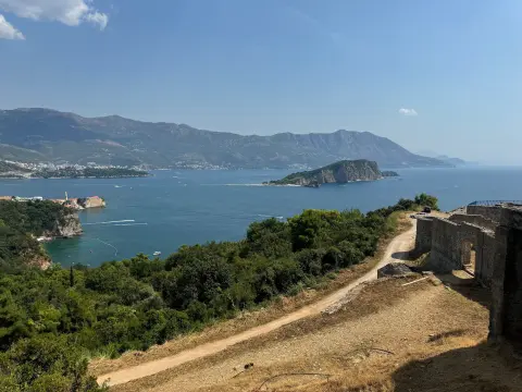
Hiking · Mogren Beach
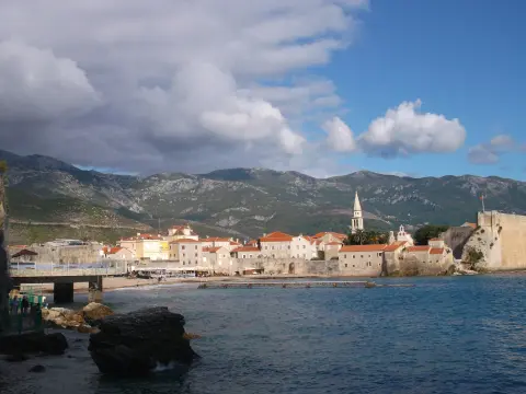
Walking · Citadela Budva
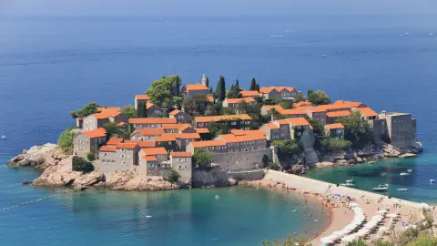
Walking · Citadela Budva
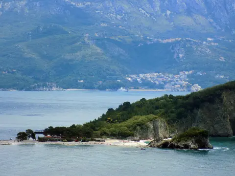
Walking · Sveti Nikola Island
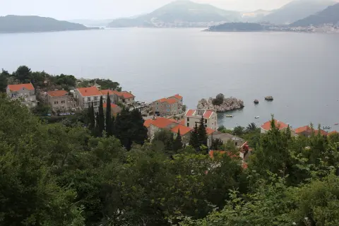
Hiking · Kamenovo Beach
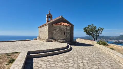
Walking · Miločer Beach
Hiking · Miločer Beach
Hiking · Cetinje Monastery · Lovćen National Park
Times and grades are estimates. Conditions change: check the weather and local information before you set out. Map and data sources →

