A short moderate hiking trail from Gluhi Do to Presjeka, with an ascent of 416 m.
A moderate one-way hiking tour, 4.0 km long, with a total ascent of 416 m and an estimated duration of around 1 h 55 min. The trail leads from Gluhi Do to Presjeka, through forest and gravel terrain.
The trail begins at Gluhi Do and leads one-way to Presjeka. The length is 4.0 km, with a total ascent of 416 m and a descent of only 5 m. The lowest point is at 248 m a.s.l., and the highest at 668 m a.s.l. The estimated duration without breaks is 1 h 55 min, and the difficulty is moderate. Due to its moderate difficulty and short length, it is suitable for most hikers.
The surface is mixed: 44% consists of earth/forest trail, 42% gravel, and 14% asphalt/concrete. The trail is marked with the standard red-and-white hiking markers.
At the end of the trail, 4.0 km from the start, are the Hunters' Lodge (680 m a.s.l.) and the Presjeka pass (672 m a.s.l.). Near the start, about 4.5 km away, is the Haj-Nehaj Fortress. In the wider surroundings of the trail are also the beaches of Buljarica, Čanj, and Lučice.
What this difficulty means
Longer or steeper sections and uneven ground. You need basic fitness, sturdy shoes and a little mountain experience.
Move along the profile to follow the route on the map; switch on 3D for the terrain.
↑ 416 m · ↓ 5 m · highest point 668 m
Along the way
A pass at 672 m a.s.l., 4.0 km from the trailhead, right at the end of the route.
A mountain lodge/cabin at 680 m a.s.l., 4.0 km from the trailhead.
The nearest point of interest to the trailhead, approximately 4.5 km from Gluhi Do.
A beach near the trail, approximately 3.2 km from the route.
Bring enough water, especially during the warmer part of the year.
Wear appropriate hiking footwear with good grip.
Check the weather forecast before setting off.
The trail is one-way, so plan your return or transportation in advance.
Follow the red-and-white hiking markers.
Respect the hiking markers and do not leave the marked trail. In case of fog, thunder, or severe weather, stop your ascent. The emergency number in Montenegro is 112.
Emergency number in Montenegro: 112.
Good to know
Best season
The best period for this trail is from spring to autumn. In winter and after rain, sections may be slippery due to the forest and earth surface.
Getting there
The trailhead is at Gluhi Do. The nearest point of interest near the start is the Haj-Nehaj Fortress, approximately 4.5 km away.
The trail is 4.0 km long.
The estimated duration without breaks is 1 h 55 min.
The difficulty is moderate.
Yes, the trail is marked with red-and-white hiking markers.

Cycling · Besac Fortress · Lake Skadar
Hiking · Besac Fortress
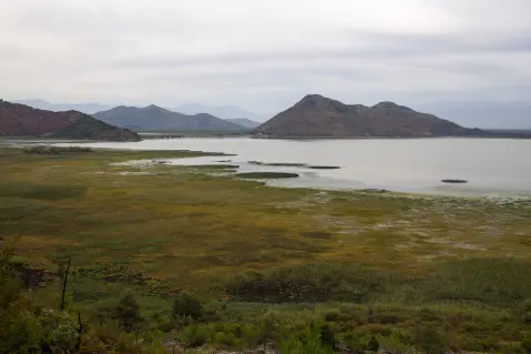
Cycling · Besac Fortress · Lake Skadar

Cycling · Ada Bojana · Lake Skadar
Hiking · Buljarica Beach
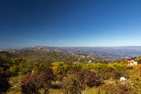
Hiking · Sutomore
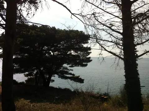
Hiking · Haj-Nehaj Fortress
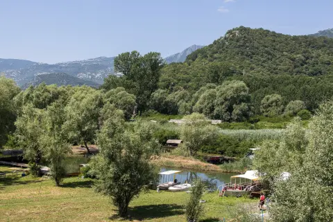
Cycling · Topolica Beach · Lake Skadar
Times and grades are estimates. Conditions change: check the weather and local information before you set out. Map and data sources →

