Easy one-way hiking tour through forest and macadam terrain.
Easy trail 3,6 km long with 269 m of ascent and a spring at 249 m a.s.l. Duration without breaks is about 1 h 25 min.
The trail starts at 23 m a.s.l. and leads one way to the highest point at 274 m a.s.l. The length is 3,6 km, with a total ascent of 269 m and descent of 31 m. Estimated walking time without breaks is 1 h 25 min. The start and end are not at the same location.
The surface is predominantly a dirt/forest trail (68 %), and the rest is macadam (32 %). At 3,3 km from the start there is a spring at 249 m a.s.l. The trail is marked. Because of its mild elevation and short length, it is suitable for beginners and recreational hikers.
Near the start of the trail is Besac Fortress (about 4,7 km). In the vicinity up to 10 km are Haj-Nehaj Fortress (about 5,5 km), Grmožur Fortress (about 5,9 km) and Sutomore Beach (about 6,1 km).
What this difficulty means
Well-made paths with gentle gradients. Fine for families and anyone used to walking a few hours.
Move along the profile to follow the route on the map; switch on 3D for the terrain.
↑ 269 m · ↓ 31 m · highest point 274 m
Point of interest 3,3 km from the start of the trail.
The nearest place to the start of the trail, about 4,7 km away.
Located near the trail, about 5,5 km away.
Near the trail, about 5,9 km away.
About 6,1 km from the trail.
Bring enough water, even though a spring is marked along the trail.
Wear light hiking footwear because of the macadam sections.
Stay on the marked trail.
In warmer months, set off earlier in the morning or later in the afternoon.
Check the weather forecast before setting out.
The trail is easy, but it is one-way and has an ascent; walk carefully on the macadam. Monitor weather conditions and call 112 in case of bad weather.
Emergency number in Montenegro: 112.
Good to know
Best season
Due to the low altitude (23–274 m), the trail is suitable for most of the year. In summer, avoid the hottest part of the day.
Getting there
The nearest place to the start of the trail is Besac Fortress, about 4,7 km away.
The trail is 3,6 km long.
Estimated duration without breaks is 1 h 25 min.
The trail is easy, but it has a total ascent of 269 m.
No, the trail is linear; the start and end are not at the same location.

15.1 km↑ 107 m45–65 min
Loop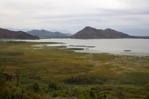
20.0 km↑ 373 m1½–2 h
Loop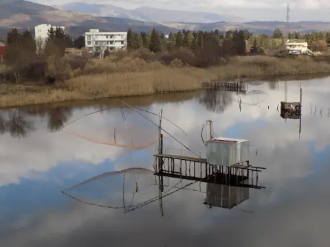
148 km↑ 2,604 m2–3 days
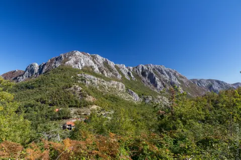
34.0 km↑ 832 m2½–3½ h
4.0 km↑ 416 m1½–2½ h
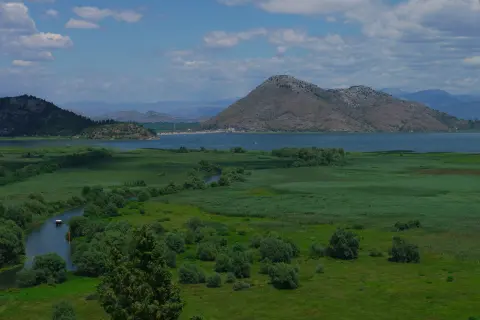
41.5 km↑ 870 m3–4 h

195 km↑ 3,259 m2–3 days
17.0 km↑ 847 m6½–9 h
Times and grades are estimates. Conditions change: check the weather and local information before you set out.

Ask about Montenegro
Ask me about destinations, restaurants or activities.
