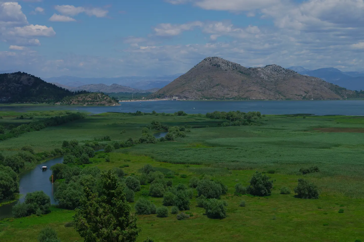
A cycling trail through Skadar Lake National Park with viewpoints, fortresses, and an asphalt surface.
Biking Trail NPSJ01 is a 41.5 km cycling trail in Skadar Lake National Park. It follows asphalt and concrete roads, with 870 m of ascent and viewpoints, ending in Virpazar.
Biking Trail NPSJ01 is a one-way cycling trail through Skadar Lake National Park. It is 41.5 km long, with 870 m total ascent and 867 m descent. The surface is 100% asphalt or concrete. The highest point of the trail is at 479 m a.s.l., and the lowest at 4 m a.s.l.
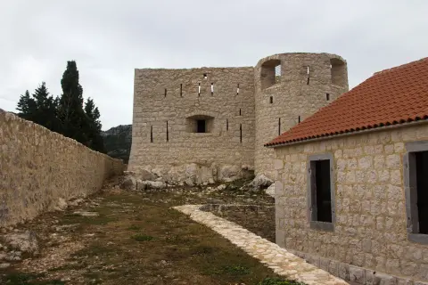
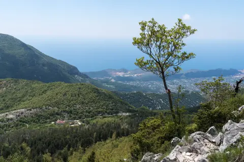
The trail passes near Besac Fortress, which is approximately 0.2 km from the route. Nearby are also Grmožur Fortress at about 1.3 km, Lesendro Fortress at about 3.7 km, and Stari Bar at about 7.6 km. Viewpoints appear along the route: at 1.5 km, at 19.5 km — the Livari viewpoint at 422 m a.s.l., at 23.3 km, and at 39.7 km. At 40.9 km, the peak Besac at 101 m a.s.l. is recorded.
The trail is suitable for cyclists of moderate fitness. Riding without breaks takes approximately 3 h 30 min. Along the route there are also the Free camping campsite at 33.6 km and the Mini camp tents only campsite at 19.5 km.
The trail ends in Virpazar, where there is a parking area and a bus station. At 41.5 km, there is a drinking water fountain.
What this difficulty means
Some longer climbs or rougher surfaces. You need regular riding fitness.
Move along the profile to follow the route on the map; switch on 3D for the terrain.
↑ 870 m · ↓ 867 m · highest point 479 m
Along the way
Photos and short clips from points along the route — tap one to open it.
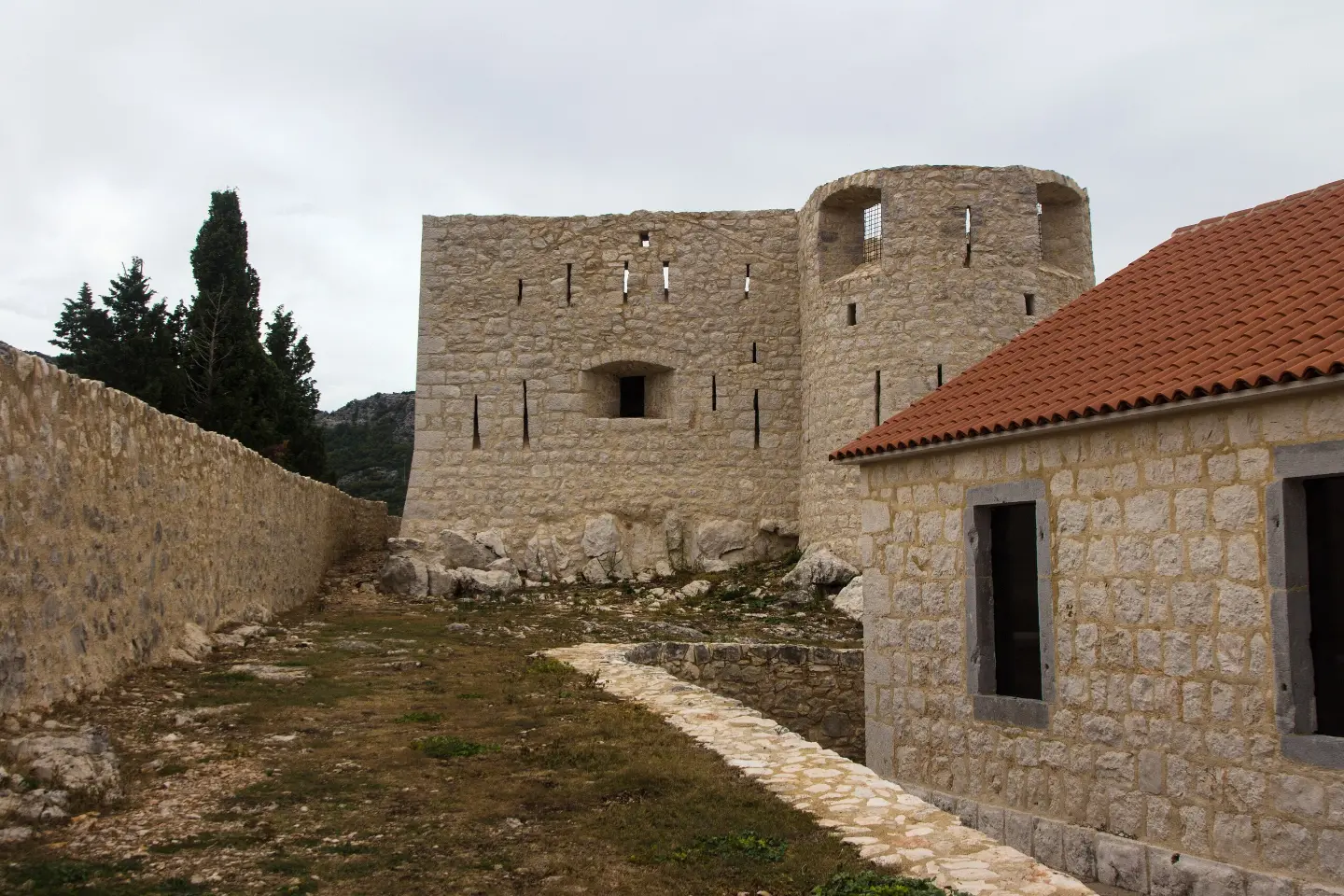
The fortress is located approximately 0.2 km from the route. At km 40.9, the Besac peak at 101 m a.s.l. is also recorded.
Located at km 19.5 of the trail, at 422 m a.s.l., offering views of the surrounding area.
At km 41.5 of the trail there is a drinking water fountain, at 12 m a.s.l.
Located at km 33.6 of the trail, at 212 m a.s.l.
Located at km 19.5 of the trail, at 427 m a.s.l.
A helmet is mandatory; bring basic bike tools and a pump.
Bring enough water, especially in summer. A drinking water fountain is recorded at km 41.5.
As this is a one-way trail, plan your return journey or transport from Virpazar in advance.
Check the weather forecast and set off early; in summer, avoid the hottest part of the day.
Respect traffic rules, as the route follows asphalt roads.
Ride carefully on asphalt sections, especially around bends and at higher speeds on descents. In summer, bring enough water and sun protection. In an emergency, call 112.
Emergency number in Montenegro: 112.
Good to know
Best season
The most pleasant period is spring and autumn, when temperatures are moderate. In summer, an early start is recommended due to the heat.
Getting there
The starting point is reached via the road to the parking area at km 0.0 of the trail. At the end of the trail, in Virpazar, there is a parking area and a bus station.
The trail is 41.5 km long and runs in one direction.
The estimated duration without breaks is 3 h 30 min.
The surface is 100% asphalt or concrete, and the difficulty is moderate.
It starts at the parking lot at 0.0 km, and ends in Virpazar, where there is a parking lot and a bus station.
148 km↑ 2,604 m2–3 days

195 km↑ 3,259 m2–3 days
8.0 km↑ 312 m2½–4 h
4.7 km↑ 1,089 m3½–5 h
30.2 km↑ 1,491 m2–3 days
9.3 km↑ 27 m2½–4 h
4.4 km1½–2 h
2.0 km↑ 607 m2–3 h
Times and grades are estimates. Conditions change: check the weather and local information before you set out.

Ask about Montenegro
Ask me about destinations, restaurants or activities.