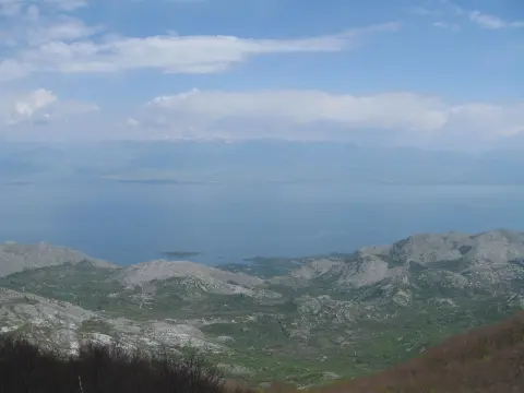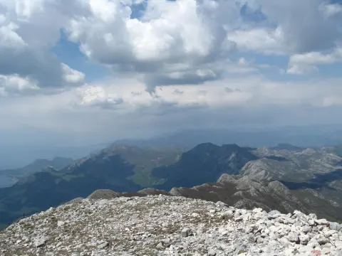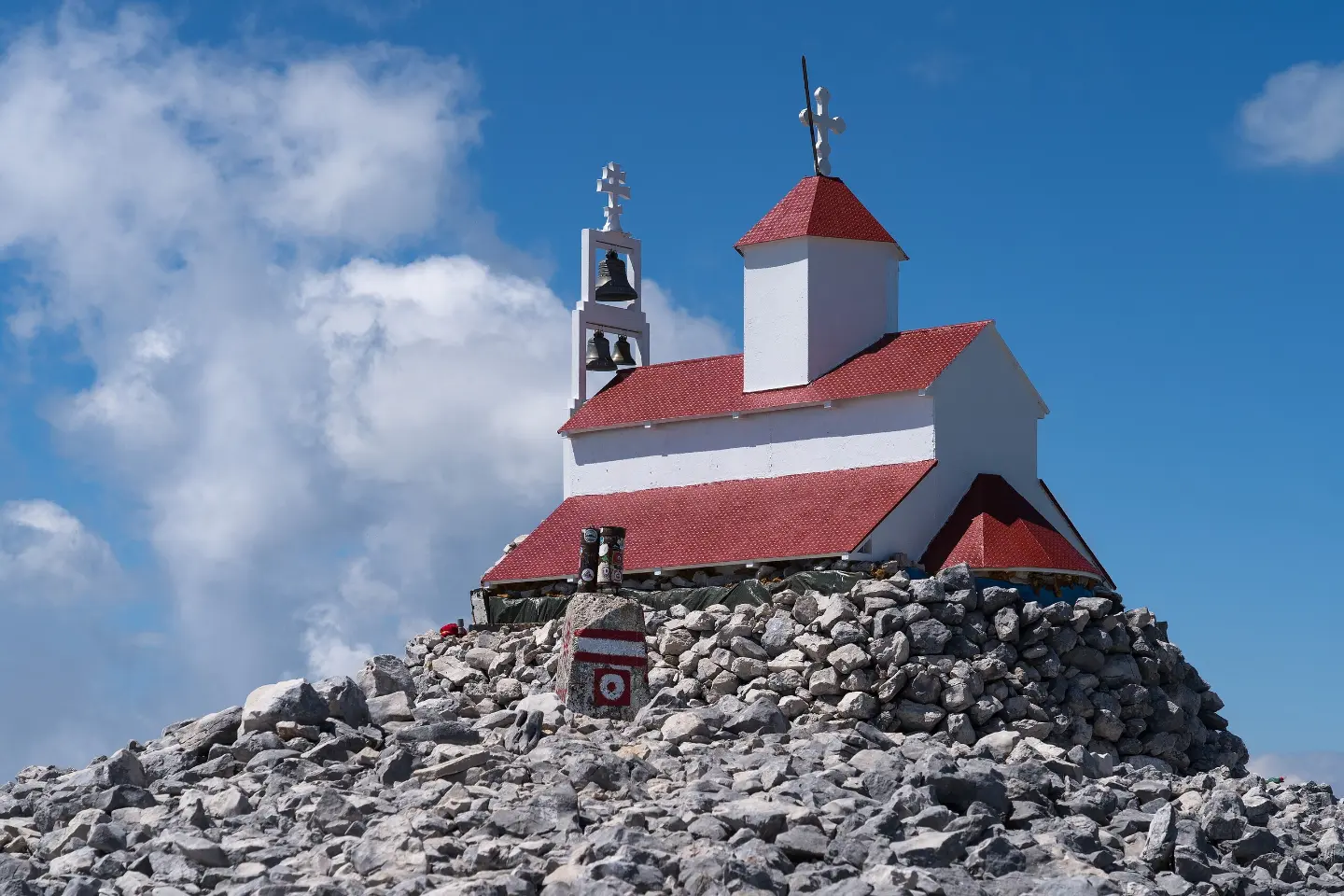
Demanding marked one-way hiking trail to the summit of Rumija, with 1,089 m of ascent.
Demanding hiking trail from Gornja Briska to the summit of Rumija: 4.7 km, 1,089 m of ascent and 4 h 15 min of walking without breaks. The trail is marked and goes in one direction.
The trail starts in Gornja Briska and leads in one direction to the summit of Rumija (1,594 m a.s.l.). It is 4.7 km long and covers 1,089 m of ascent, with no descents. The lowest point is at 493 m a.s.l., and the highest at 1,588 m a.s.l.
The terrain is mostly gravel road (91%), and partly dirt or forest trail (9%). The trail is marked with red-and-white hiking markers. At 4.3 km from the start there is a viewpoint at 1,399 m a.s.l., and at 4.8 km the summit of Rumija.
The tour is demanding and rated T2 on the SAC hiking scale. The estimated walking time without breaks is 4 h 15 min. Due to the significant ascent over a short distance, good physical fitness and hiking footwear are required. The trail is not circular, so plan extra time for the return.
What this difficulty means
Steep, rocky or exposed passages and a long day out. For fit, sure-footed hikers with mountain experience.
Mountain hiking grade SAC T2 (scale T1–T6).
Places on this route
Move along the profile to follow the route on the map; switch on 3D for the terrain.
↑ 1,089 m · ↓ 0 m · highest point 1,588 m
Along the way
Photos and short clips from points along the route — tap one to open it.
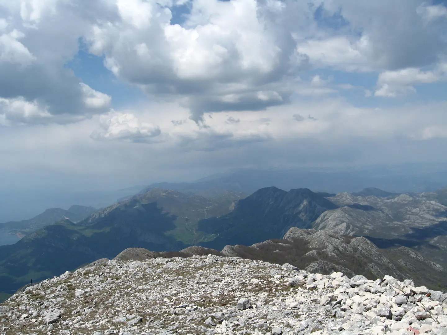
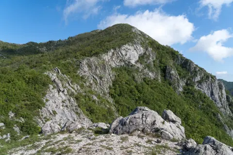
The final destination of the tour at 1,594 m a.s.l., 4.8 km from the trailhead.
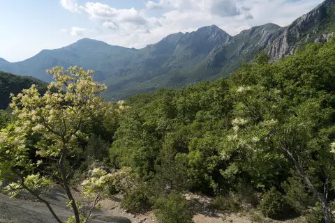
Located 4.3 km from the trailhead, it opens up views of the surrounding area.
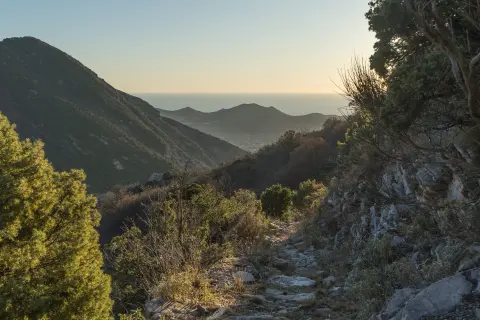
The trail is clearly marked and leads through gravel road and forest terrain.
The trailhead is about 7.4 km from Stari Bar, and Bar is about 7.7 km from the trail.
Bring enough water, especially in warmer months.
Wear hiking boots due to the significant ascent and gravel terrain.
Set out early in the morning to avoid the hottest part of the day.
Check the weather forecast before departure and bring layered clothing.
Take short breaks during the ascent; the estimated walking time without breaks is 4 h 15 min.
Fog, wind or thunderstorms can develop quickly in the mountains, so it is important to monitor weather conditions. In case of an emergency, call 112.
Emergency number in Montenegro: 112.
Good to know
Best season
The best period for this tour is from late spring to early autumn, when the trail is dry and clear. In summer, set out early due to high temperatures.
Getting there
The trailhead is in Gornja Briska. The nearest town is Stari Bar, approximately 7.4 km away, and Bar is about 7.7 km from the trailhead.
The trail is 4.7 km long and goes in one direction.
The estimated duration without breaks is 4 h 15 min.
The trail is demanding, rated T2 on the SAC hiking scale, with 1,089 m of total ascent.
Yes, the trail has red-and-white hiking markers.
148 km↑ 2,604 m2–3 days
41.5 km↑ 870 m3–4 h

195 km↑ 3,259 m2–3 days
8.0 km↑ 312 m2½–4 h
2.0 km↑ 607 m2–3 h
9.3 km↑ 27 m2½–4 h
30.2 km↑ 1,491 m2–3 days
4.3 km↑ 22 m2–2½ h
Times and grades are estimates. Conditions change: check the weather and local information before you set out.

Ask about Montenegro
Ask me about destinations, restaurants or activities.