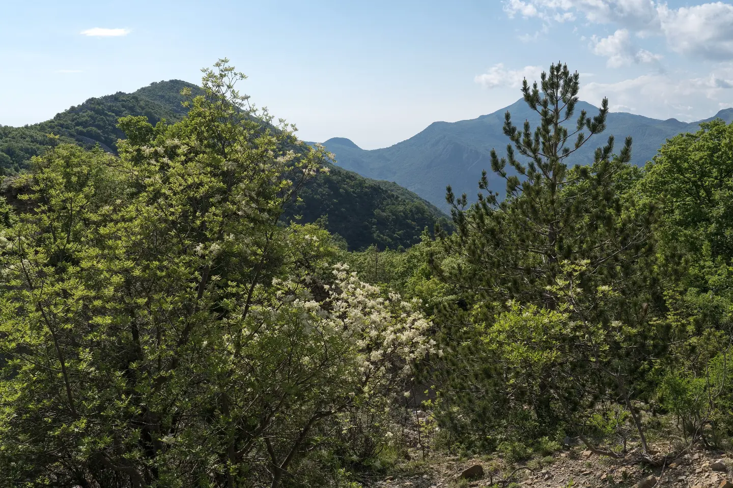
Marked hiking trail from Baltina to the Livari viewpoint with a spring and viewpoints.
The marked one-way hiking trail from Baltina to the Livari viewpoint is 8.0 km long. The ascent is 312 m, the descent 574 m, and walking takes about 3 h 10 min; difficulty moderate, SAC T2.
The Baltina – viewpoint trail is a marked one-way hiking trail, 8.0 km long. It leads from Baltina to the Livari viewpoint. Walking without breaks takes about 3 h 10 min. The total ascent is 312 m and the descent 574 m, so the trail direction should be planned in advance.
The surface is predominantly dirt/forest trail (64%), and the remaining part consists of asphalt/concrete (18%) and gravel road (17%). The lowest point is at 429 m a.s.l., and the highest at 966 m a.s.l. The difficulty is moderate, on the SAC scale T2.
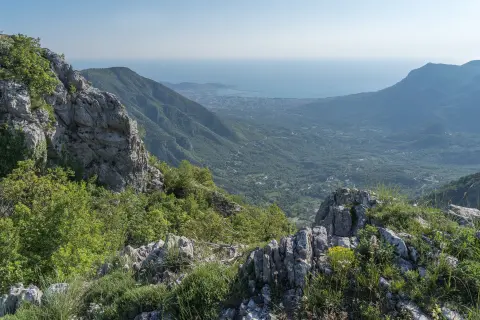
At 0.5 km from the start there is a viewpoint at 683 m a.s.l. At 1.5 km there are the Bijela skala viewpoint (899 m) and the Bijela skala pass (919 m), and nearby also a spring at 893 m a.s.l. A drinking water fountain is at 4.7 km. At 6.6 km there is the Old house camp (only tents), and at 8.0 km there are the Livari viewpoint and the Mini camp tents only camp.
The trail is suitable for hikers with basic fitness. Because of its length, descent, and the fact that it is not circular, plan transport or enough time for the return.
What this difficulty means
Longer or steeper sections and uneven ground. You need basic fitness, sturdy shoes and a little mountain experience.
Mountain hiking grade SAC T2 (scale T1–T6).
Places on this route
Move along the profile to follow the route on the map; switch on 3D for the terrain.
↑ 312 m · ↓ 574 m · highest point 966 m
Along the way
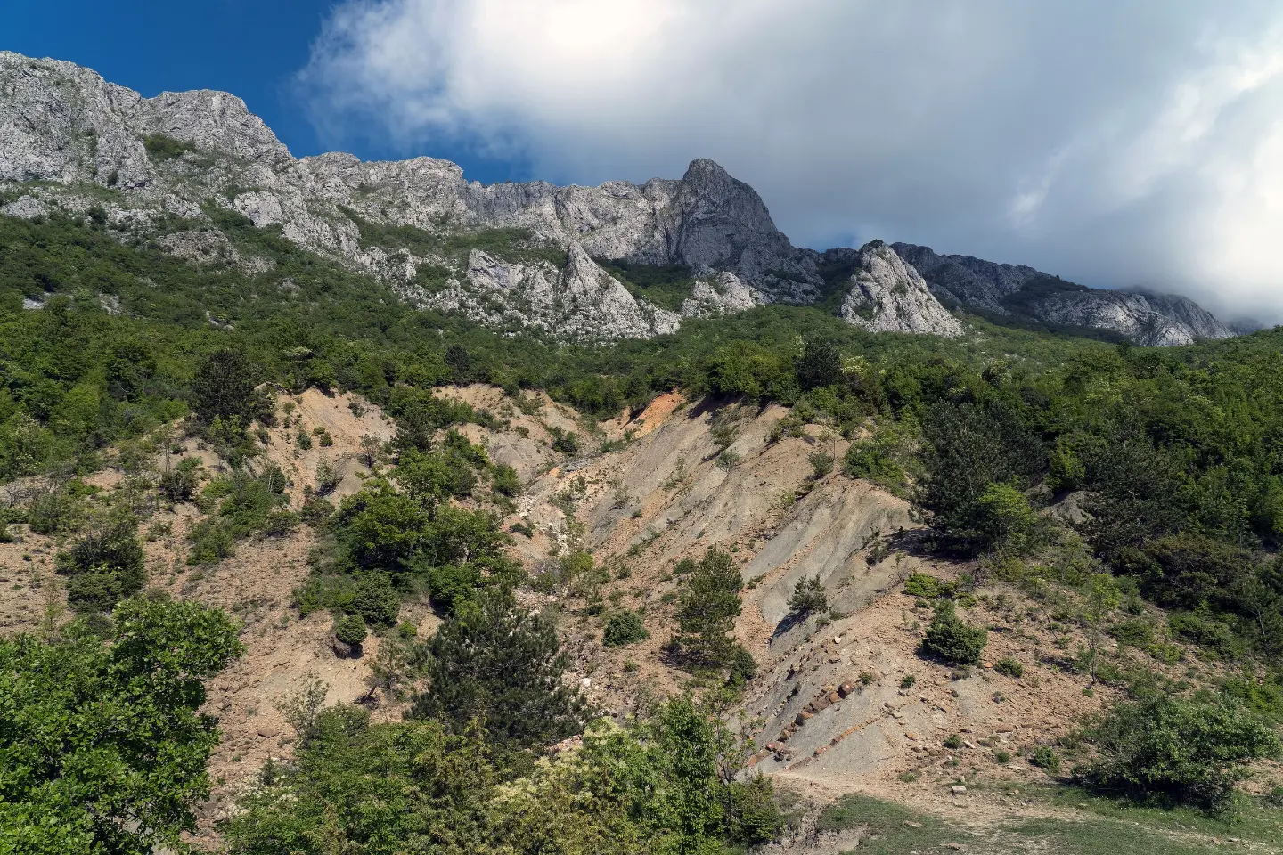
At 1.5 km from the start, at 899 m a.s.l.
It is located 0.5 km from the start of the trail.
The pass is at 919 m a.s.l., and the spring at 893 m a.s.l., both 1.5 km from the start.
It is located 4.7 km from the start, at 835 m a.s.l.
The final point of the trail is at 8.0 km, at 422 m a.s.l.
Wear hiking boots with good soles; the trail is partly dirt and forest.
Bring water; there are a spring and a drinking fountain on the trail, but do not rely only on them.
Set off earlier, especially in summer, because walking takes about 3 h 10 min without breaks.
Check the weather conditions before setting off; the highest point is at 966 m a.s.l.
Since the trail is one-way, arrange transport in advance or plan the return.
Because of the 574 m descent, bring poles and be careful with your knees.
The trail is a moderately demanding hiking route. In wet weather, forest and earth sections can be slippery. In case of accident or danger, call the emergency number 112.
Emergency number in Montenegro: 112.
Good to know
Best season
It is most pleasant from spring to late autumn. In summer, set off early in the morning because of the heat, and before a winter outing check the conditions on the higher parts of the trail.
Getting there
The start of the trail is about 3.4 km from Stari Bar. The nearest city is Bar, about 5.6 km from the trail.
The trail is 8.0 km long, one-way.
Walking without breaks takes about 3 h 10 min.
The trail is moderate, T2 on the SAC scale. Total ascent is 312 m, and descent is 574 m.
Yes, the trail is marked with red-and-white markings.
10.6 km↑ 555 m3½–4½ h
30.2 km↑ 1,491 m2–3 days
4.5 km↑ 575 m2–3 h
8.4 km↑ 398 m2½–4 h
Loop
9.3 km↑ 27 m2½–4 h
148 km↑ 2,604 m2–3 days
2.3 km↑ 512 m1½–2½ h
34.0 km↑ 832 m2½–3½ h
Times and grades are estimates. Conditions change: check the weather and local information before you set out.

Ask about Montenegro
Ask me about destinations, restaurants or activities.
