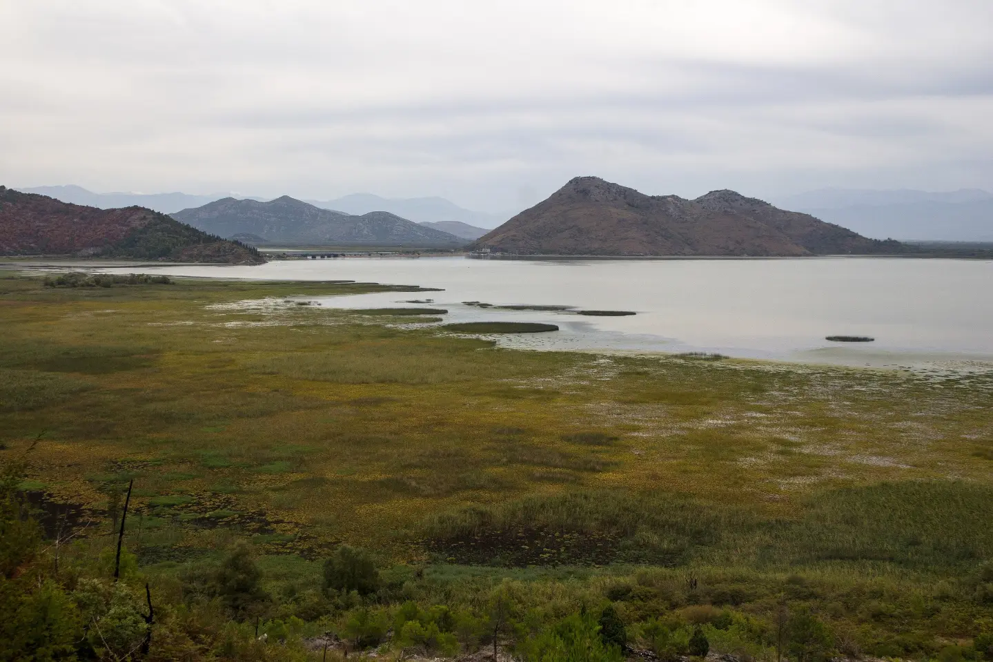
Easy circular cycling route in Skadarsko Jezero National Park, with a viewpoint and springs; fortresses are also nearby.
The circular cycling route Biking Trail NPSJ04, 20.0 km long, runs on asphalt/concrete through Skadarsko Jezero National Park. The ascent is 373 m, descent 369 m, and the ride without stops takes about 1 h 35 min; difficulty: easy.
Biking Trail NPSJ04 is a circular cycling route 20.0 km long in Skadarsko Jezero National Park. It runs on asphalt/concrete (100%), with a total ascent of 373 m and descent of 369 m. The estimated ride without stops takes 1 h 35 min, and the route is of easy difficulty.
During the ride, several points of interest are passed: at 2.1 km is Camp Virpazar, at 2.5 km Camp Lad, at 3.1 km a viewpoint at 60 m a.s.l., and at 3.9 km the Besac summit at 101 m a.s.l. Springs are also recorded at 6.2 km, 13.9 km and 16.9 km.
Near the route, within a distance of up to 10 km, are Besac Fortress, Grmožur Fortress, Lesendro Fortress and Haj-Nehaj Fortress. The lowest point of the route is 9 m a.s.l., and the highest is 374 m a.s.l. The route is suitable for recreational cyclists and families.
What this difficulty means
Mostly flat or gentle riding on good surfaces. Fine for occasional riders and families.
Move along the profile to follow the route on the map; switch on 3D for the terrain.
↑ 373 m · ↓ 369 m · highest point 374 m
Along the way
Located at 3.1 km from the start of the route, at 60 m a.s.l.
Point of interest at 3.9 km from the start, at 101 m a.s.l.
Campsite along the route at 2.5 km, at 11 m a.s.l.
Campsite along the route at 2.1 km, at 19 m a.s.l.
Springs are recorded at 6.2 km (121 m a.s.l.), 13.9 km (248 m a.s.l.) and 16.9 km (132 m a.s.l.).
The road is paved, so the route is suitable for various types of bicycles; check your tyre pressure before riding.
Bring enough water and food, especially during the warmer part of the day.
A helmet is recommended for the entire length of the route.
Set off earlier in the morning or later in the afternoon to avoid the strongest heat.
Carry a basic bicycle repair kit and a spare inner tube with you.
Check the weather conditions before riding. In the warmer part of the year, bring enough water and sun protection. For emergencies, call 112.
Emergency number in Montenegro: 112.
Good to know
Best season
The route is most pleasant in spring and autumn, when temperatures are moderate. In summer, an early morning or late afternoon departure is recommended.
Getting there
The route is located in Skadarsko Jezero National Park. The nearest landmark to the start of the route is Besac Fortress, approximately 2.7 km away.
The route is 20.0 km long and is circular in shape — it starts and ends at the same point.
The estimated ride duration without stops is 1 h 35 min.
The trail is easy difficulty. The total ascent is 373 m, descent 369 m, and the surface is 100% asphalt/concrete.
In Skadar Lake National Park. The closest place to the start of the trail is Besac Fortress, approximately 2.7 km away.
148 km↑ 2,604 m2–3 days

15.1 km↑ 107 m45–65 min
Loop
34.0 km↑ 832 m2½–3½ h
41.5 km↑ 870 m3–4 h

195 km↑ 3,259 m2–3 days
3.6 km↑ 269 m1–1½ h
11.4 km↑ 62 m2½–4 h
2.7 km↑ 268 m65–90 min
Times and grades are estimates. Conditions change: check the weather and local information before you set out.

Ask about Montenegro
Ask me about destinations, restaurants or activities.
