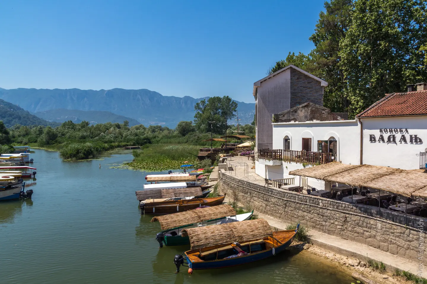
A walking tour through Skadar Lake National Park, from Podgor to Virpazar, with a viewpoint at 110 m above sea level.
The Podgor – Virpazar hiking trail in Skadar Lake National Park: 11,4 km, ascent 62 m, descent 227 m, duration about 3 h 10 min. The trail is moderate and runs in one direction, with a viewpoint at 4,5 km.
Podgor – Virpazar is a hiking trail in Skadar Lake National Park. It starts in Podgor and ends in Virpazar. The trail length is 11,4 km, and the estimated walking time without breaks is 3 hours and 10 minutes. The total ascent is 62 m, and the total descent is 227 m. The lowest point is at 6 m above sea level, and the highest at 175 m above sea level.
The terrain is of moderate difficulty. The surface consists of macadam (48%) and asphalt/concrete (47%). At 4,5 km from the start there is a viewpoint at 110 m above sea level. The trail is marked.
Near the trail are Besac Fortress (about 1,0 km), Lesendro Fortress (about 3,4 km) and Grmožur Fortress (about 3,7 km). At the end of the trail, 11,4 km from the start, there are a car park and the Virpazar bus station. The bus station is at 9 m above sea level.
The trail is suitable for hikers and walkers who want a longer walking tour without major ascents.
What this difficulty means
Longer or steeper sections and uneven ground. You need basic fitness, sturdy shoes and a little mountain experience.
Move along the profile to follow the route on the map; switch on 3D for the terrain.
↑ 62 m · ↓ 227 m · highest point 175 m
Along the way
It is located 4,5 km from the trail start, at an elevation of 110 m.
The trail is located in Skadar Lake National Park.
It is located about 1,0 km from the trail.
It is located about 3,4 km from the trail.
At the end of the trail, 11,4 km from the start, at 9 m above sea level; there is also a car park nearby.
Bring enough water, as there are no marked springs on the trail.
Wear comfortable footwear for mixed surfaces: macadam and asphalt/concrete.
Protect yourself from the sun, especially in the warmer part of the year.
As the trail is one-way, plan the return in advance; at the end of the trail there are a car park and a bus station.
Check the weather forecast before setting off.
Respect the rules of Skadar Lake National Park.
The trail is 11,4 km long and passes through the national park. Bring enough water and sun protection. In case of need, call emergency number 112.
Emergency number in Montenegro: 112.
Good to know
Best season
The trail is at low elevation (6 to 175 m above sea level), so it is most pleasant in spring and autumn. In summer, an early start is recommended because of the heat.
Getting there
The trail starts in Podgor. The closest place to the trail start is Petrovac Beach, about 7,6 km away.
The trail is 11,4 km long.
Estimated duration without breaks is 3 hours and 10 minutes.
The difficulty is moderate, with a total ascent of 62 m and descent of 227 m.
Yes, the trail is marked.
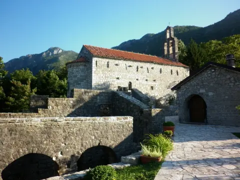
Hiking · Lučice Beach
Hiking · Besac Fortress
Hiking · Besac Fortress
Hiking · Besac Fortress
Hiking · Besac Fortress · Lake Skadar
Hiking · Besac Fortress
Hiking · Besac Fortress
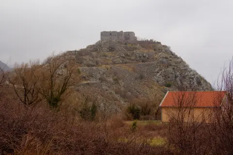
Hiking · Kosmač Fortress
Times and grades are estimates. Conditions change: check the weather and local information before you set out. Map and data sources →

