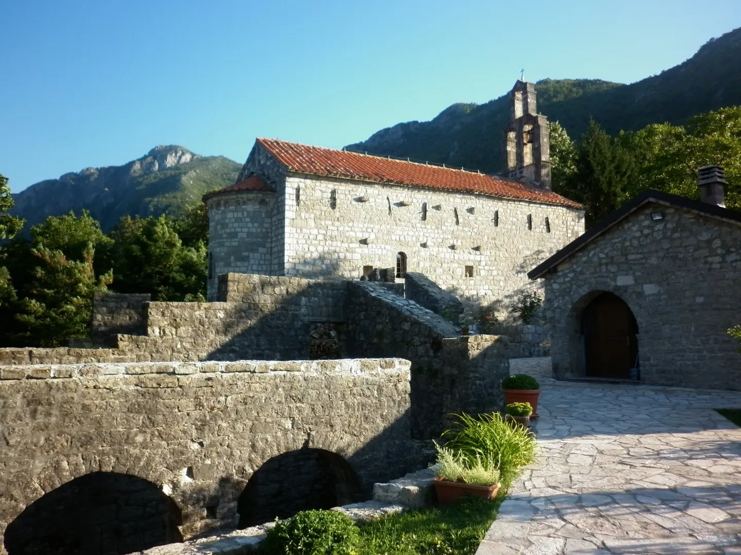
A short 4.0 km circular walking tour through mixed terrain near Petrovac.
An easy 4.0 km circular hiking trail with a total ascent of 104 m. It starts and ends in Donji Brčeli, passes through Tomići, and takes about 1 h 15 min without breaks.
The Donji Brčeli – Tomići – Donji Brčeli trail is a 4.0 km circular hiking tour. It starts and ends at the same place, in Donji Brčeli. The estimated walking time without breaks is 1 h 15 min, and the trail is easy (SAC T1).
The surface is mixed: 56% is asphalt or concrete, and 44% is a dirt or forest trail. The lowest point is at 199 m a.s.l., and the highest at 315 m a.s.l. The total ascent is 104 m, and the total descent is 101 m.
The route is suitable for recreational hikers and families. Near the trail are Petrovac Beach (~6.8 km), Petrovac (~6.9 km) and Besac Fortress (~7.2 km), so the tour can be combined with a visit to the coast.
What this difficulty means
Well-made paths with gentle gradients. Fine for families and anyone used to walking a few hours.
Mountain hiking grade SAC T1 (scale T1–T6).
Places on this route
Move along the profile to follow the route on the map; switch on 3D for the terrain.
↑ 104 m · ↓ 101 m · highest point 315 m
It is located about 6.8 km from the trail.
It is about 6.9 km from the trail.
It is located about 7.2 km from the trail.
The nearest beach to the trailhead, about 7.2 km from the start.
Bring enough water; no water source is confirmed on the trail.
Wear comfortable walking shoes because part of the trail runs on dirt/forest surface.
Check the weather forecast before setting off and adapt your equipment to the conditions.
Protect yourself from the sun, especially in summer, and bring layered clothing.
Stay on the marked trail and respect the environment.
The trail is easy and low-profile, but always follow the trail markings and adapt your pace to the weather conditions. On dirt sections it can be slippery after rain. In case of an accident, call 112.
Emergency number in Montenegro: 112.
Good to know
Best season
Due to the low altitude (199–315 m), the trail is suitable for most of the year. In summer, plan to start in the early morning or afternoon hours.
Getting there
The trailhead is in Donji Brčeli. The nearest beach to the trailhead is Lučice Beach, about 7.2 km away.
The trail is 4.0 km long.
The estimated duration without breaks is 1 h 15 min.
The trail is of easy difficulty, according to the SAC hiking scale T1.
Asphalt/concrete makes up 56%, and dirt/forest trail 44%.
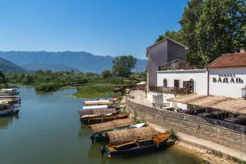
Hiking · Petrovac Beach · Lake Skadar
Hiking · Besac Fortress
Hiking · Besac Fortress
Hiking · Besac Fortress
Hiking · Besac Fortress
Hiking · Besac Fortress · Lake Skadar
Hiking · Besac Fortress
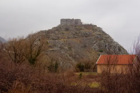
Hiking · Kosmač Fortress
Times and grades are estimates. Conditions change: check the weather and local information before you set out. Map and data sources →

