Circular hiking route of 4.0 km with a waterfall and gentle ascent, suitable for most hikers.
Easy circular trail 4.0 km long near Babin most. It leads over mixed terrain to the waterfall at 1.9 km and back; duration without breaks about 1 h 25 min.
Babin most – Dupilo – Babin most is an easy circular hiking route 4.0 km long. It starts and ends at the same place, at Babin most. The lowest point is at 25 m above sea level, and the highest at 185 m above sea level. Total ascent is 156 m, and total descent 152 m. Estimated walking time without breaks is 1 h 25 min.
Surface is mixed: asphalt or concrete make up 47%, gravel 46%, and dirt/forest trail 7%. At 1.9 km from the start there is a waterfall at 110 m above sea level. That is the main point of interest on the trail itself.
Near the trail, within 10 km, are Besac Fortress (closest to the start, about 3.9 km), Lesendro Fortress (about 5.5 km), Grmožur Fortress (about 6.6 km) and Lučice Beach (about 9.5 km). These destinations can be visited in combination with this tour.
On our scale the trail is easy and corresponds to SAC scale T1. It is suitable for most hikers, with basic walking footwear.
What this difficulty means
Well-made paths with gentle gradients. Fine for families and anyone used to walking a few hours.
Mountain hiking grade SAC T1 (scale T1–T6).
Move along the profile to follow the route on the map; switch on 3D for the terrain.
↑ 156 m · ↓ 152 m · highest point 185 m
The point of interest on the trail is located at 110 m above sea level, about 1.9 km from the start.
The nearest listed destination to the trailhead, about 3.9 km away.
Located near the trail, about 5.5 km away.
About 6.6 km from the trail.
About 9.5 km from the trail.
Bring enough water, especially during warmer months.
Wear footwear suitable for mixed terrain: asphalt, gravel and forest trail.
Set off earlier on hot days – duration without breaks is about 1 h 25 min.
Check the weather forecast before setting off.
The trail is easy, but always check the weather forecast. In case of storms or fog, slow down and follow a known route. In emergencies call 112.
Emergency number in Montenegro: 112.
Good to know
Best season
Due to the low altitude (25–185 m), the trail is suitable for most of the year. In summer avoid the hottest part of the day and bring extra water.
Getting there
To reach the trailhead, head towards Babin most. The nearest listed destination to the start is Besac Fortress, about 3.9 km away.
The trail is 4.0 km long.
Estimated walking time without breaks is 1 h 25 min.
According to our scale, it is easy and corresponds to the SAC hiking scale T1.
The trail is circular – it begins and ends at the same place, at Babin Most.
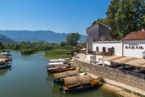
Hiking · Petrovac Beach · Lake Skadar
Hiking · Besac Fortress
Hiking · Besac Fortress · Lake Skadar
Hiking · Besac Fortress
Hiking · Besac Fortress
Hiking · Besac Fortress
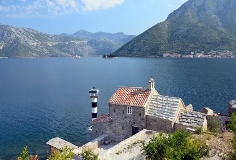
Cycling · Rose, Luštica · Lake Skadar

Cycling · Besac Fortress · Lake Skadar
Times and grades are estimates. Conditions change: check the weather and local information before you set out. Map and data sources →

