Short circular hiking tour through the forest, past the Vrelez spring and a waterfall.
Easy circular trail, 3.8 km long with a total ascent of 127 m. At 3.1 km from the start it passes the Vrelez spring and a waterfall.
Easy circular trail, 3.8 km long. It starts and ends at the same point, with a total ascent of 127 m and a descent of 125 m. The lowest point is at 95 m a.s.l. and the highest at 221 m a.s.l.
The terrain is predominantly an earthen forest path (83%), with a smaller section of gravel road (15%). At 3.1 km from the start, the trail passes the Vrelez spring (135 m a.s.l.) and a waterfall (130 m a.s.l.). Thanks to its circular shape, you do not need to return by the same route.
The trail is marked and suitable for beginner hikers and recreational walkers. Estimated walking time without breaks is 1 h 15 min. In the vicinity you will find Tvrđava Besac, Tvrđava Lesendro, Plaža Lučice and Plaža Petrovac, so the outing can be extended with a visit to the surrounding attractions.
What this difficulty means
Well-made paths with gentle gradients. Fine for families and anyone used to walking a few hours.
Move along the profile to follow the route on the map; switch on 3D for the terrain.
↑ 127 m · ↓ 125 m · highest point 221 m
Along the way
It rises at 135 m a.s.l. and is located 3.1 km from the start of the trail.
At 3.1 km from the start, at 130 m a.s.l., the trail leads past a waterfall.
The nearest landmark to the trailhead, approximately 6.8 km away.
Bring enough water, especially in summer.
Wear comfortable hiking footwear, as the surface is mostly earthen and forested.
Check the weather forecast before setting off.
In summer, set out early in the morning or later in the afternoon to avoid the heat.
Although the trail is easy, adjust your pace to your fitness level and take breaks.
The trail is at a low elevation, but check the weather forecast before setting off. In the event of thunder or a severe storm, stop hiking and take shelter in a safe place. For emergencies in Montenegro, call 112.
Emergency number in Montenegro: 112.
Good to know
Best season
Due to its low elevation (95–221 m), the trail is most pleasant in spring and autumn. Summers can be hot, so an early morning or later afternoon start is recommended.
Getting there
The nearest landmark to the trailhead is Tvrđava Besac, approximately 6.8 km away. Tvrđava Lesendro, Plaža Lučice and Plaža Petrovac are also nearby.
The trail is 3.8 km long.
The estimated duration without breaks is 1 h 15 min.
The trail is easy, with a total ascent of 127 m and a descent of 125 m.
Dirt and forest trail makes up 83%, gravel road 15%. The trail is circular – it starts and ends at the same place.
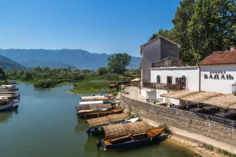
Hiking · Petrovac Beach · Lake Skadar
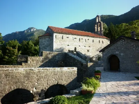
Hiking · Lučice Beach
Hiking · Besac Fortress
Hiking · Besac Fortress
Hiking · Besac Fortress
Hiking · Besac Fortress · Lake Skadar
Hiking · Besac Fortress
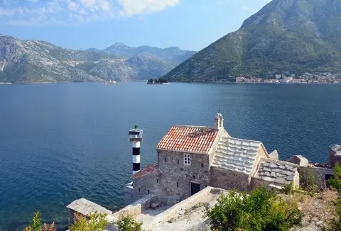
Cycling · Rose, Luštica · Lake Skadar
Times and grades are estimates. Conditions change: check the weather and local information before you set out. Map and data sources →

