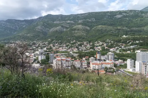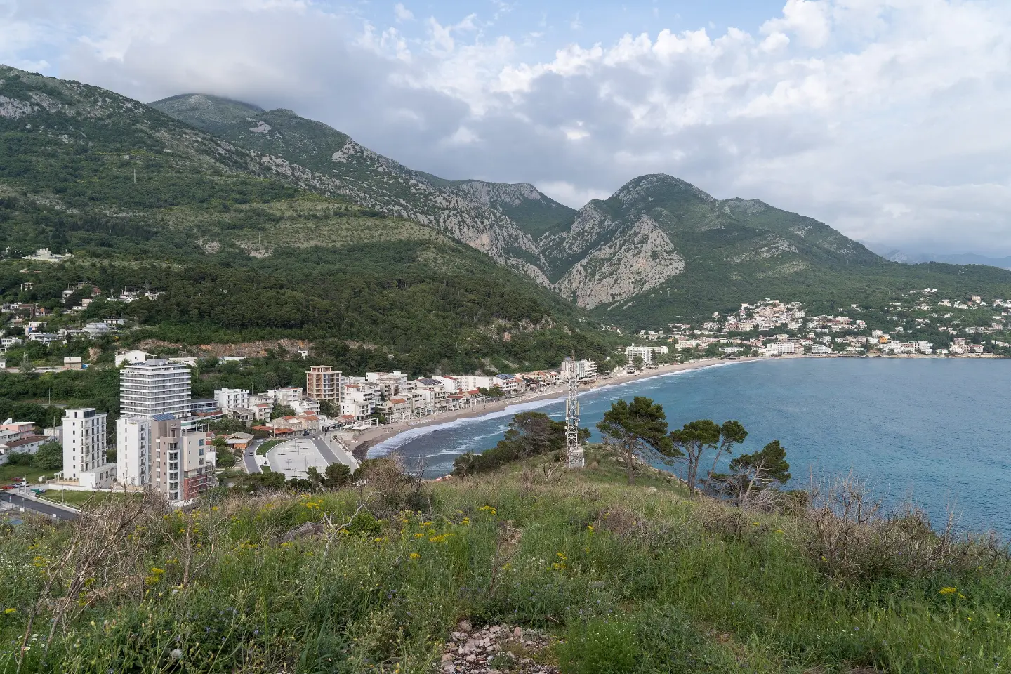
Short and easy walking tour from Sutomore to Tvrđava Tabija.
Easy walking trail from Sutomore to Tvrđava Tabija is 0.4 km long. It takes about 10 minutes to walk, with 60 m of descent and a view from the viewpoint.
This is a short one-way walking tour from Sutomore to Tvrđava Tabija. The trail is 0.4 km long and easy, so it is also suitable for families with children.
The terrain is mostly rocky (87%), and a smaller part goes over gravel (13%). The total ascent is 0 m, while the descent is 60 m; the highest point is at 77 m above sea level, and the lowest at 10 m above sea level. The trail is marked in blue.
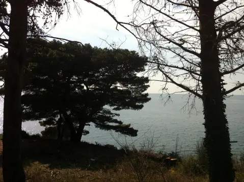
At 0.3 km from the start, there is a viewpoint at 21 m above sea level. From it, a view of the surroundings opens up. Parking is located 0.4 km from the start.
Walking without breaks takes about 10 minutes. Due to the rocky terrain, shoes with good grip are recommended. Bring enough water, especially in warmer months.
What this difficulty means
Well-made paths with gentle gradients. Fine for families and anyone used to walking a few hours.
Places on this route
Move along the profile to follow the route on the map; switch on 3D for the terrain.
↑ 0 m · ↓ 60 m · highest point 77 m
Along the way
Photos and short clips from points along the route – tap one to open it.
It is located 0.3 km from the start of the trail, at 21 m above sea level.
Parking is 0.4 km from the start of the trail.
Near the trail, about 1.7 km away, is Maljevik Beach.
Wear shoes with good grip due to the rocky terrain.
Bring enough water, especially in summer.
Start early in the morning or in the evening during hot days.
Check the weather forecast before setting off.
The trail is short and easy, but it is mostly rocky. In wet conditions, be careful. For emergencies, call 112.
Emergency number in Montenegro: 112.
Good to know
Best season
The trail can be walked all year round. Due to the low altitude and proximity to the sea, it is pleasant in spring and autumn.
Getting there
The starting point is in Sutomore. The nearest beach, Sutomore Beach, is about 1.2 km away, and parking is 0.4 km from the start of the trail.
The trail is 0.4 km long.
Without breaks, it takes about 10 minutes.
The trail is easy and suitable for beginners.
Yes, it is marked in blue.
Hiking · Sutomore
Hiking · Sutomore
Hiking · Haj-Nehaj Fortress
Hiking · Sutomore
Hiking · Maljevik Beach
Hiking · Maljevik Beach
Hiking · Sutomore
Hiking · Ratac
Times and grades are estimates. Conditions change: check the weather and local information before you set out. Map and data sources →