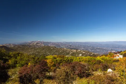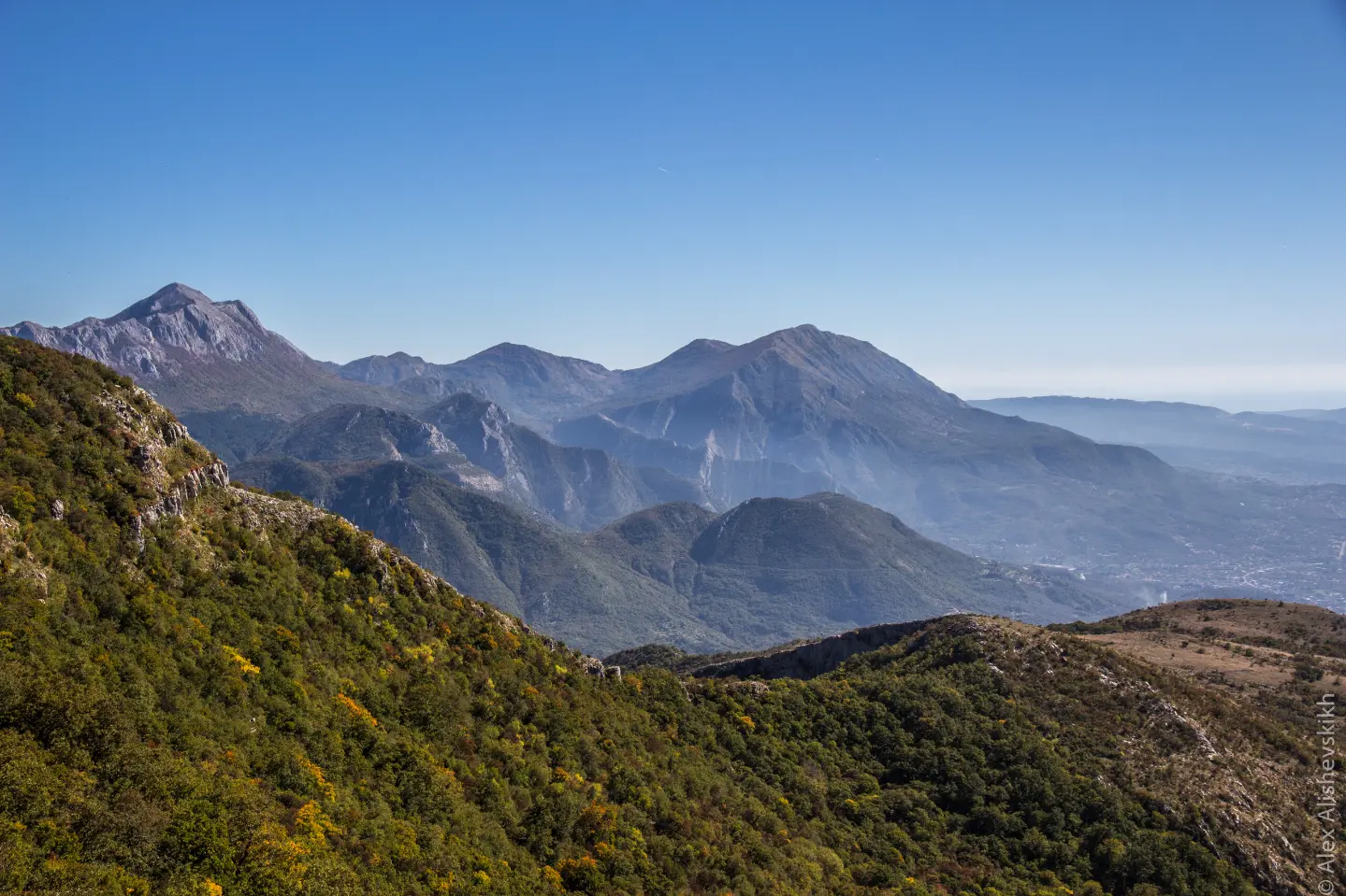
A short and easy hiking trail through rocky terrain from Sutorman Pass to Vrsuta Peak.
Easy hiking trail from Sutorman Pass (805 m a.s.l.) to Vrsuta Peak (1183 m a.s.l.): 3.2 km, 371 m ascent, rocky terrain.
The trail starts at Sutorman Pass at 805 m a.s.l. and leads in one direction to Vrsuta Peak. The length is 3.2 km, and the total ascent is 371 m. There is no descent, so it climbs the whole way. The lowest point is 805 m a.s.l., and the highest is 1179 m a.s.l.
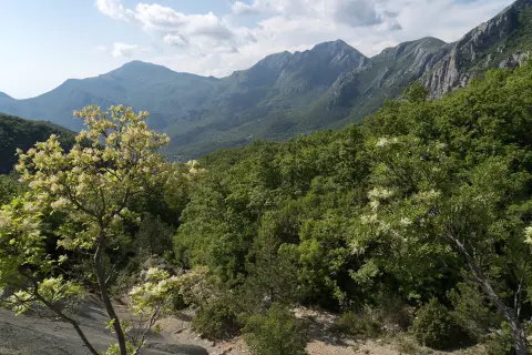
The terrain is entirely rocky. The trail is marked with red and white markings. At 3.0 km from the start there is a viewpoint at 1162 m a.s.l., and at 3.2 km Vrsuta Peak at 1183 m a.s.l.
According to our scale the trail is easy, and according to the SAC scale it is T1. It is suitable for occasional hikers and for anyone who wants a shorter hike with ascent. Estimated walking time without breaks is 1 h 40 min.
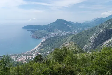
Near the trail are Ratac Beach, Red Beach and Žukotrlica Beach, approximately 3.4–4.3 km from the trail. The nearest place to the trailhead is Sutomore, about 4.4 km away.
What this difficulty means
Well-made paths with gentle gradients. Fine for families and anyone used to walking a few hours.
Mountain hiking grade SAC T1 (scale T1–T6).
Places on this route
Move along the profile to follow the route on the map; switch on 3D for the terrain.
↑ 371 m · ↓ 0 m · highest point 1,179 m
Along the way
Photos and short clips from points along the route — tap one to open it.
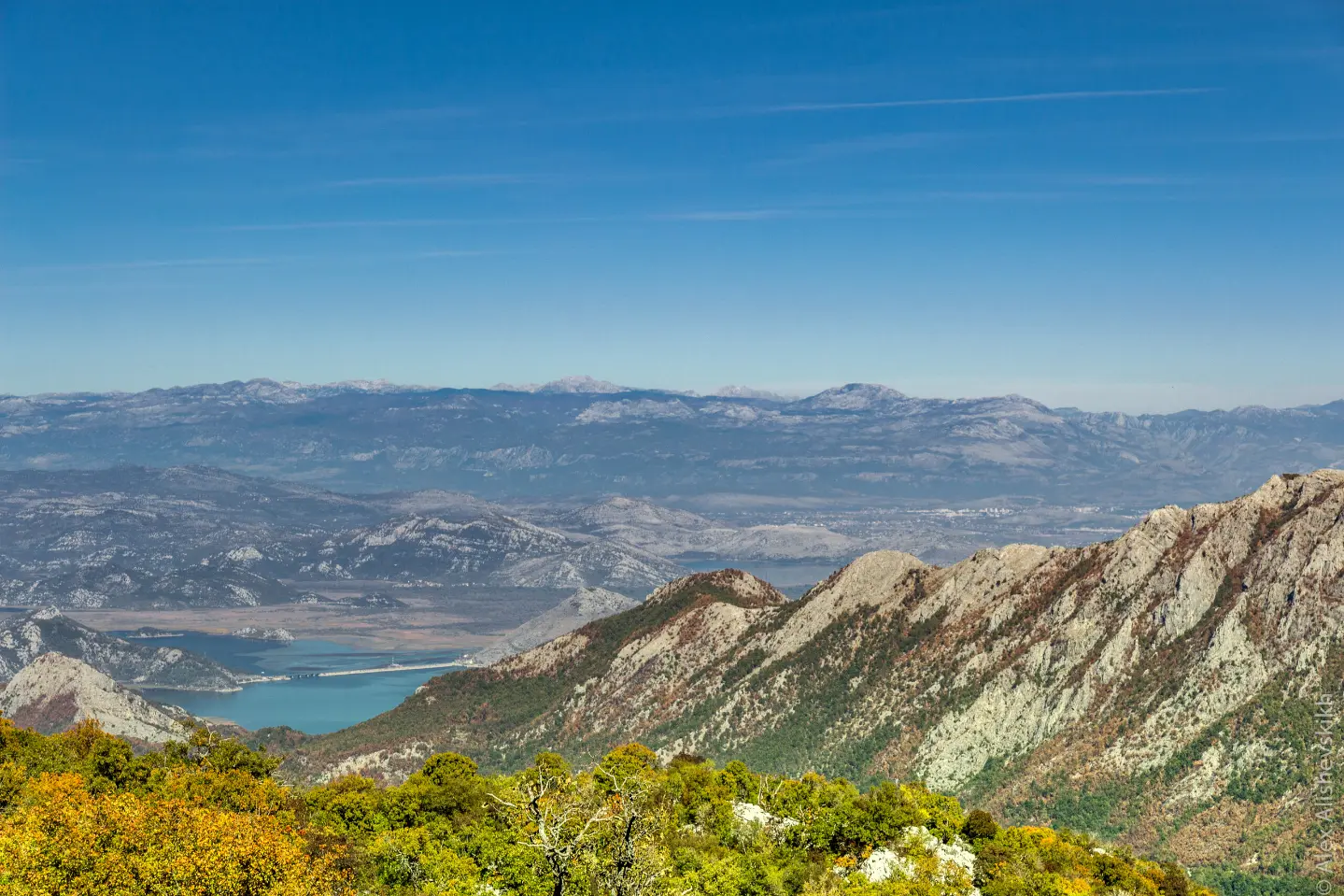
Starting point of the trail at 805 m a.s.l.
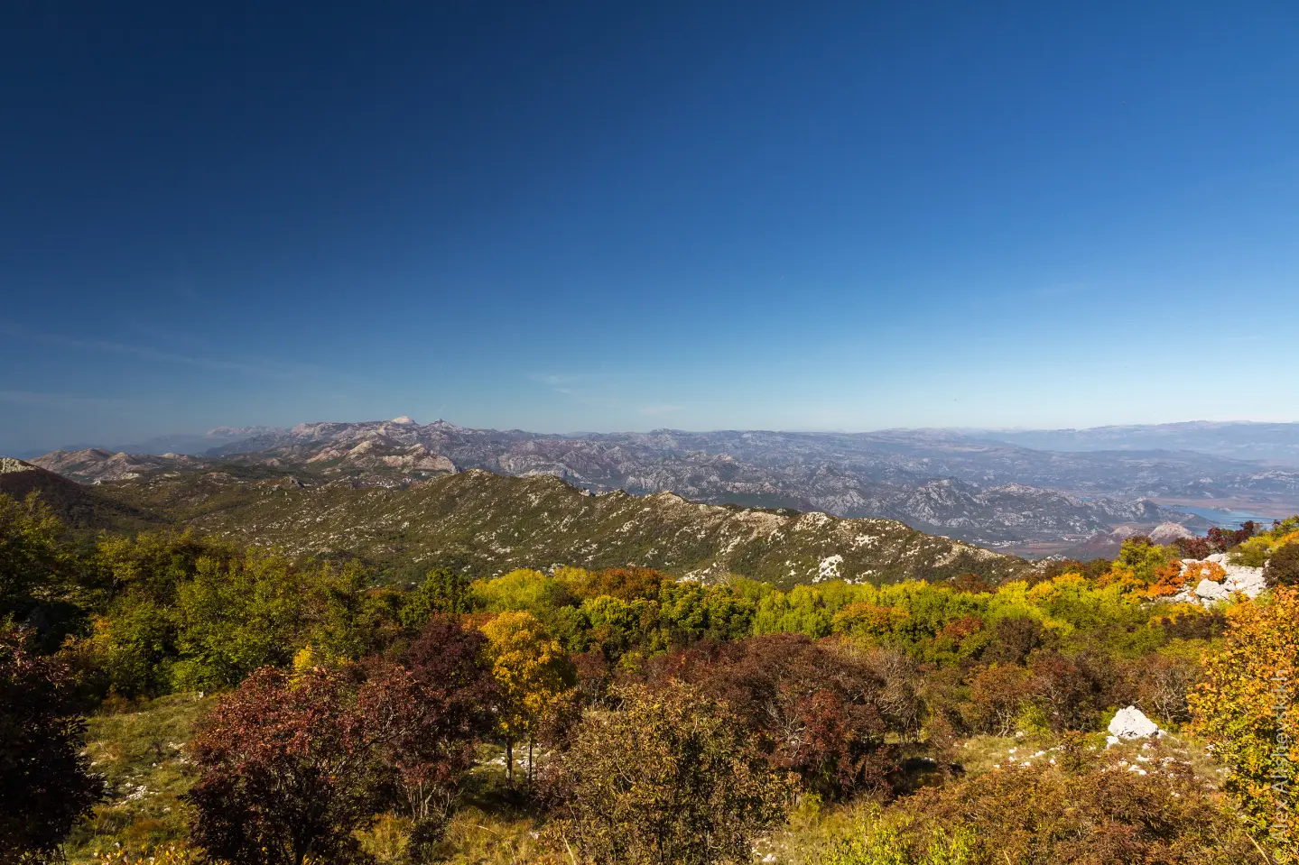
Trail endpoint at 1183 m a.s.l., 3.2 km from the start.
Located at 1162 m a.s.l., 3.0 km from the trailhead.
Bring enough water because we do not list any springs along the trail.
Wear hiking footwear because of the rocky terrain.
Start early, especially in summer.
Plan your return in advance because the trail is not a loop.
Follow the red and white markings and check the weather forecast.
Mountain weather can change quickly, so follow the forecast and do not set out in thunderstorms. Because of the rocky terrain, watch your step. In case of need, call 112.
Emergency number in Montenegro: 112.
Good to know
Best season
Due to the altitude up to 1179 m, the most favorable period is from late spring to early autumn. In the summer months, avoid the hottest part of the day.
Getting there
The trailhead is at Sutorman Pass (805 m a.s.l.). The nearest place to the trailhead is Sutomore, about 4.4 km away.
The trail is 3.2 km long.
According to the estimate, without breaks it takes about 1 h 40 min.
The trail is easy, according to the SAC scale T1.
Yes, the trail is marked with red and white markings.
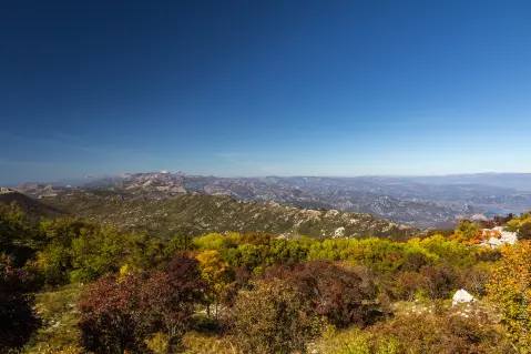
17.0 km↑ 847 m6½–9 h
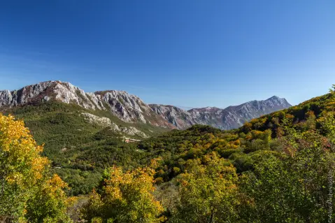
9.3 km↑ 366 m4–5½ h
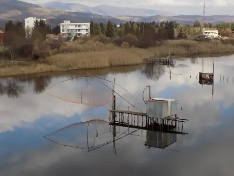
148 km↑ 2,604 m2–3 days
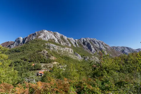
34.0 km↑ 832 m2½–3½ h
30.2 km↑ 1,491 m2–3 days
9.2 km↑ 253 m3–4½ h
4.1 km↑ 87 m1½–2½ h
5.9 km↑ 70 m2–2½ h
Times and grades are estimates. Conditions change: check the weather and local information before you set out.

Ask about Montenegro
Ask me about destinations, restaurants or activities.