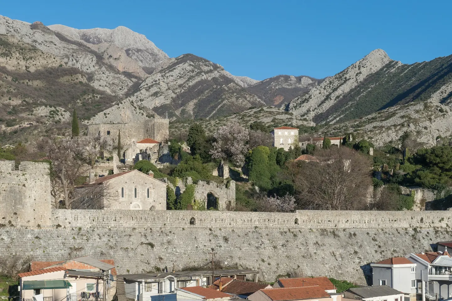
A walking tour through the Bar area with views of the sea and surrounding hills.
The 4.6 km trail leads from Stari Bar to Bartula with a moderate ascent of 220 m. It passes through varied terrain and offers several viewpoints overlooking the Bar riviera.
The trail starts from the parking lot at Stari Bar (44 m a.s.l.) and gradually climbs towards Bartula. The surface is mixed: asphalt and concrete make up about 40% of the route, gravel 35%, and the rest is rocky terrain that requires attention while walking.
At 1.8 km you reach Camp Bartula (154 m a.s.l.), and then the trail continues uphill towards a series of viewpoints located between 4.2 and 4.5 km from the start. From these points there are views of the Bar coastline. Just before the end, at 4.1 km, the trail passes by a spring (73 m a.s.l.).
The trail ends at the parking lot in Bartula at 4.6 km. Total ascent is 220 m and descent 118 m, giving a net elevation gain. Estimated walking time without breaks is 1 h 35 min.
It is suitable for hikers with basic fitness and appropriate footwear. The trail is marked with red-and-white blazes and is linear – the start and end are not in the same place, so it is necessary to plan the return.
What this difficulty means
Longer or steeper sections and uneven ground. You need basic fitness, sturdy shoes and a little mountain experience.
Mountain hiking grade SAC T2 (scale T1–T6).
Places on this route
Move along the profile to follow the route on the map; switch on 3D for the terrain.
↑ 220 m · ↓ 118 m · highest point 185 m
Along the way
The trail begins near Stari Bar, an important historical site about 1.0 km from the starting parking lot.
At 1.8 km from the start, at an altitude of 154 m a.s.l., the trail passes by Camp Bartula – a useful orientation point on the route.
Between 4.2 and 4.5 km from the start there are several viewpoints (133–150 m a.s.l.) with views of the Bar coast and the surrounding landscape.
At 4.1 km from the start, at an altitude of 73 m a.s.l., there is a spring – an interesting point just before the very end of the route.
Carry enough water, especially in summer and in hot weather.
Wear sturdy hiking footwear – rocky terrain makes up a quarter of the surface.
The trail is linear, so arrange transport or return from the end point in Bartula in advance.
Start in the morning to avoid the midday heat in the summer months.
Bring a map or download the GPX track – viewpoints are densely located near the end and are easy to miss without navigation.
Rocky terrain on parts of the route can be slippery after rain – walk carefully. In case of sudden weather changes, take shelter in a safe place. In emergencies, call 112.
Emergency number in Montenegro: 112.
Good to know
Best season
The trail is passable throughout the year thanks to its low altitude (up to 185 m a.s.l.). The most pleasant time to hike is in spring and autumn, while summers on the Bar coast are hot, so set off early in the morning.
Getting there
The trail starts from the parking lot at Stari Bar. Stari Bar is located about 3.3 km from the center of Bar and is easily reached by road.
The trail is 4.6 km long and runs in one direction from Stari Bar to Bartula.
The estimated walking time without breaks is 1 h 35 min. With breaks and sightseeing, allow a bit more time.
The trail is rated as moderate (SAC scale T2). The total ascent is 220 m and the terrain is partly rocky, so basic fitness and appropriate footwear are required.
Yes, the trail is marked with red-and-white markings along the entire route.

Cycling · Ada Bojana · Lake Skadar
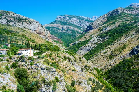
Hiking · Stari Bar
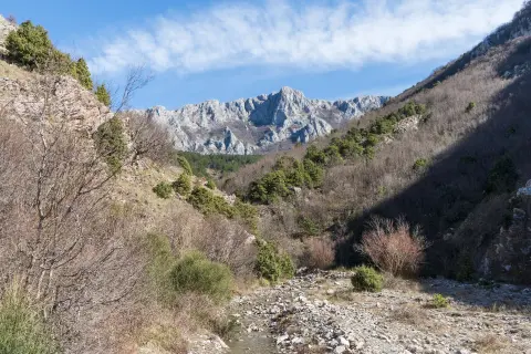
Hiking · Stari Bar
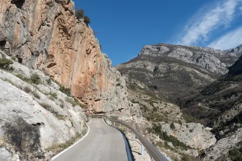
Climbing · Stari Bar
Hiking · Crvena Stijena
Hiking · Crvena Stijena
Hiking · Stari Bar
Climbing · Stari Bar
Times and grades are estimates. Conditions change: check the weather and local information before you set out. Map and data sources →

