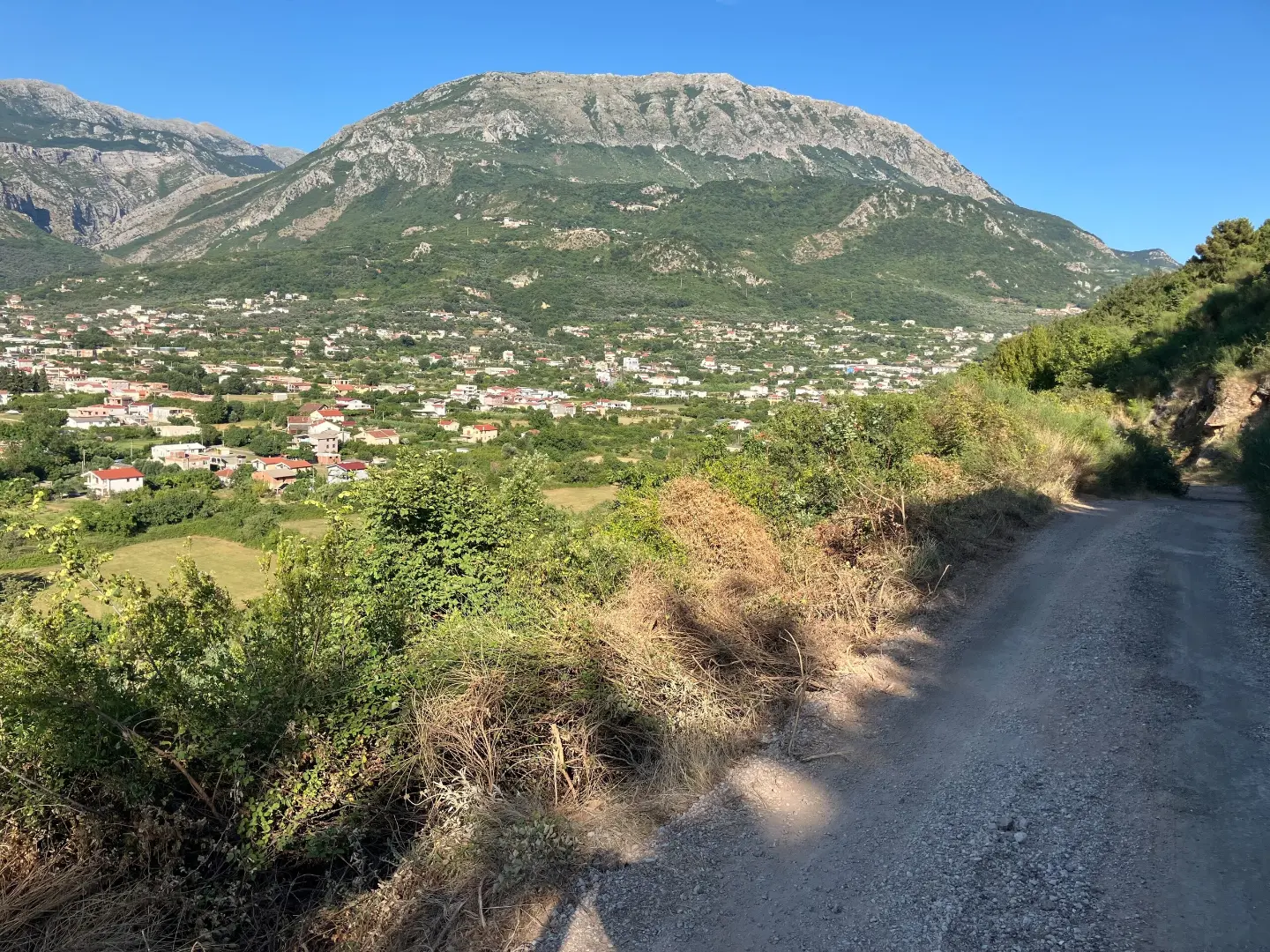
A short and very demanding mountain hike near Bar, with mixed terrain and trail markings.
A one-way hiking tour 2.9 km long between Miljanov Most and Cervena Stijena. It overcomes 102 m of ascent and 92 m of descent; estimated duration is 1 h, and the difficulty is very demanding (SAC T3).
The Miljanov Most-Cervena Stijena trail is a one-way hiking tour. It is 2.9 km long, with a total ascent of 102 m and descent of 92 m. The lowest point is at 14 m above sea level, and the highest at 124 m. The estimated walking time without breaks is about 1 h.
The trail is rated as very demanding and intended for experienced hikers; according to the SAC hiking scale it is T3. It is marked with red-and-white circular trail markings. The terrain is mixed: gravel road 47%, dirt/forest trail 26%, asphalt/concrete 21%, and rocky terrain 6%.
The tour runs between Miljanov Most and Cervena Stijena. Crvena Stijena Beach is about 1.7 km from the trailhead. Nearby are also Stari Bar (about 2.4 km), Bar (about 2.6 km) and Topolica Beach (about 3.0 km).
Because of rocky terrain and technical sections, a sure step and hiking footwear are required. It is recommended to set off in stable weather and plan the return, as the trail is one-way.
What this difficulty means
Very long or alpine terrain where hands may be needed, with few ways out. Only for experienced mountaineers in stable weather.
Mountain hiking grade SAC T3 (scale T1–T6).
Places on this route
Move along the profile to follow the route on the map; switch on 3D for the terrain.
↑ 102 m · ↓ 92 m · highest point 124 m
Starting point of the one-way hiking trail.
End point of the trail according to route data.
The nearest place to the trailhead, about 1.7 km away.
A historical site near the trail, about 2.4 km away.
A beach near the trail, about 3.0 km away.
Wear hiking boots with deeper soles because of the rocky terrain.
Bring enough water and food.
Use hiking poles on rocky and steep sections.
Check the weather forecast and avoid the trail in wet conditions.
Start early, especially in summer, and protect yourself from the sun.
Plan your return in advance, as the trail is one-way.
Caution is required on rocky sections; in wet weather the trail can be slippery. Follow the red-and-white markings and do not leave the trail. In case of injury or bad weather, call 112.
Emergency number in Montenegro: 112.
Good to know
Best season
Due to the low elevation, the trail is accessible during most of the year. In summer, avoid the hottest part of the day, and check the weather forecast before setting off.
Getting there
The trailhead is Miljanov Most. Crvena Stijena Beach is about 1.7 km from the start, and Bar is about 2.6 km from the trail.
The trail is 2.9 km long and goes in one direction.
Estimated duration without breaks is 1 h.
It is rated as very demanding and is intended for experienced hikers; according to the SAC scale it is T3.
It is marked with red and white circular markings.
Hiking · Crvena Stijena

Hiking · Crvena Stijena

Cycling · Ada Bojana · Lake Skadar

Hiking · Stari Bar
Hiking · Stari Bar
Hiking · Stari Bar
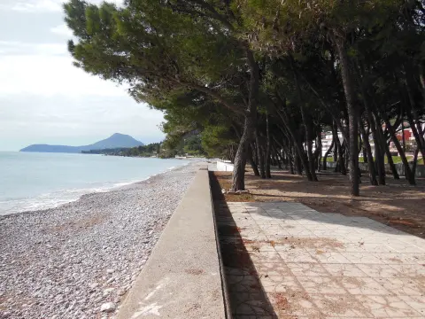
Walking · Šušanj Beach
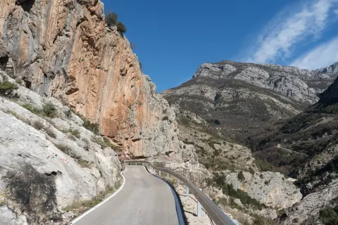
Climbing · Stari Bar
Times and grades are estimates. Conditions change: check the weather and local information before you set out. Map and data sources →

