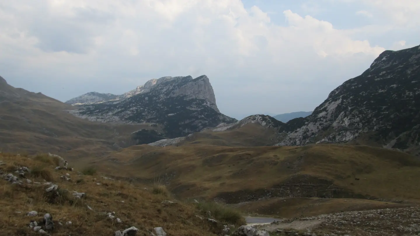
A demanding hiking tour through Durmitor National Park, from Šarban via Škrka to Nedajno.
A very demanding hiking tour of 23.5 km in Durmitor National Park. It leads from Šarban via Škrka to Nedajno, with an ascent of 1394 m and the highest point at 2109 m above sea level.
The Šarban – Škrka – Nedajno trail is a very demanding hiking tour in Durmitor National Park, 23.5 km long. It runs in one direction, with a total ascent of 1394 m and a total descent of 1121 m. The lowest point of the trail is at 1164 m above sea level, and the highest at 2109 m above sea level.
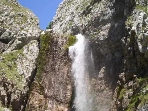
The starting point is in Šarban, about 2.7 km from Sušičko Lake. In the first section, the trail passes the Nedajno (Ivovac) viewpoint at 0.9 km and the Tatinac spring at 1.5 km. At 10.4 km from the start is Sušica mountain hut, with a water fountain. Further along are springs, the Skakala waterfall at 15.8 km, and the Škrka Mountain Hut at 17.5 km.
In the high section, the trail crosses the Škrčko ždrijelo pass at 20.8 km and 2114 m above sea level. The final section leads towards Nedajno, where highlights include a viewpoint at 23.1 km and Torba camp at 23.4 km. The surface is 56% earth or forest trail, and 43% asphalt or concrete. Due to its length, elevation difference, and duration of 9 h 50 min without breaks, the tour is intended for experienced hikers.
What this difficulty means
Very long or alpine terrain where hands may be needed, with few ways out. Only for experienced mountaineers in stable weather.
Mountain hiking grade SAC T2 (scale T1–T6).
Move along the profile to follow the route on the map; switch on 3D for the terrain.
↑ 1,394 m · ↓ 1,121 m · highest point 2,109 m
Along the way
Photos and short clips from points along the route – tap one to open it.
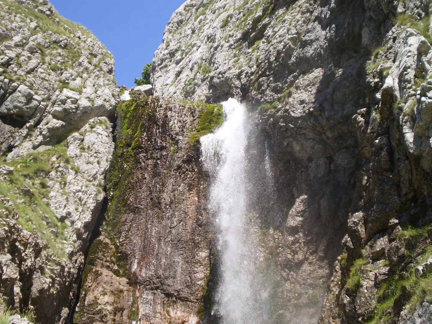
Located 15.8 km from the start of the trail, at 1575 m above sea level.
Located 0.9 km from the start of the trail, at 1500 m above sea level.
At 10.4 km from the start of the trail, at 1172 m above sea level; at the same distance there is a fountain with drinking water.
A shelter at 17.5 km from the start of the trail, at 1720 m above sea level.
A pass at 20.8 km from the start of the trail, at 2114 m above sea level.
Start early: walking without breaks takes 9 h 50 min, and the distance is 23.5 km.
Bring enough water and food; there are springs and fountains along the trail, but do not rely on them alone.
Wear proven hiking footwear and dress in layers; the surface is partly earth/forest trail and partly asphalt/concrete.
Check the weather forecast for Durmitor National Park before setting off.
The tour is very demanding and is recommended for experienced hikers.
The tour crosses high-mountain terrain up to 2109 m above sea level. In the event of fog, thunder, or deteriorating weather, turn back or seek shelter immediately. For emergencies, call 112.
Emergency number in Montenegro: 112.
Good to know
Best season
The best time to go is from late spring to early autumn, when the trails at this altitude are usually passable. In winter and early spring there may be snow and ice.
Getting there
The start of the trail is in Šarban. The nearest Sušičko Lake is about 2.7 km away, and Žabljak is about 8.9 km from the trail.
The trail is 23.5 km long.
The estimated duration without breaks is 9 h 50 min.
The trail is very demanding and intended for experienced hikers; according to the SAC hiking scale it carries T2.
The trail is located in Durmitor National Park.
Hiking · Crno Jezero · Durmitor National Park
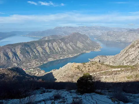
Cycling · Španjola Fortress · Durmitor National Park
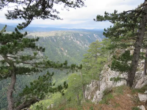
Hiking · Sušičko jezero · Durmitor National Park
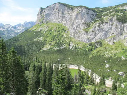
Hiking · Crno Jezero · Durmitor National Park
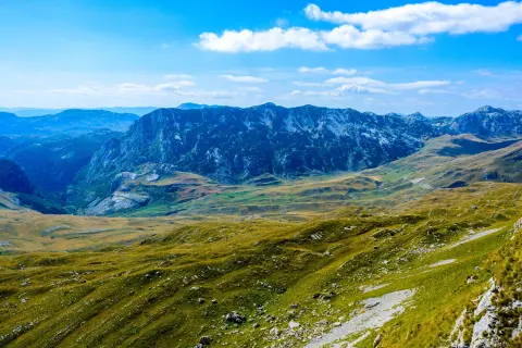
Cycling · Riblje jezero · Durmitor National Park
Cycling · Vražje jezero · Durmitor National Park
Hiking · Sušičko jezero · Durmitor National Park
Hiking · Crno Jezero · Durmitor National Park
Times and grades are estimates. Conditions change: check the weather and local information before you set out. Map and data sources →