Travel to Montenegro
Budva Old Town and the Citadel: from the necropolis to Mogren
Free audio guide

Budva Old Town and the CitadelFrom the necropolis to Mogren

Free self-guided audio walk through Budva Old Town, no app needed

  • Free · no app needed
  • 4 languagesME · EN · ES · FR
  • Easy walk
walk
60 min
route
⁨1.3 km⁩
stops
11
of audio
16 min
Overview

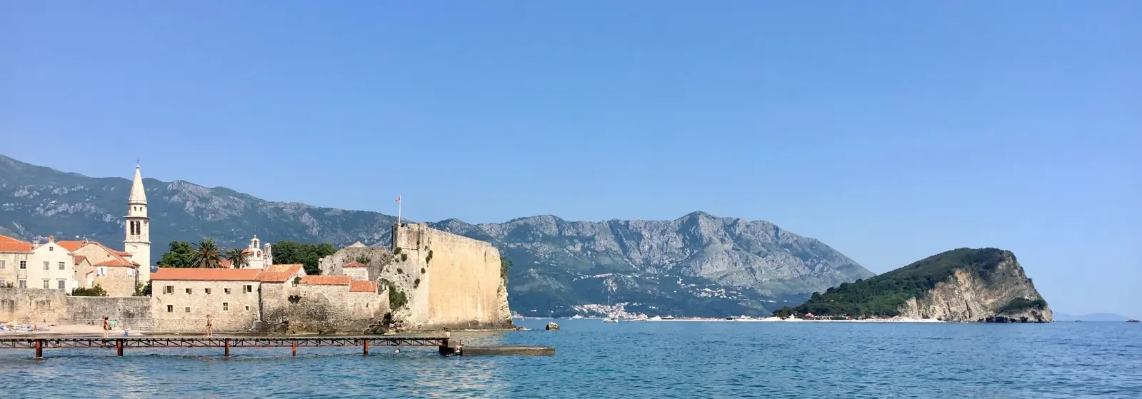
A walking audio tour of Budva Old Town: the ancient necropolis, the main gate with the Venetian lion, the 1979 earthquake and the rebuilding, the Museum of Budva, the walls and gates, the churches of the Holy Trinity, St John, Santa Maria in Punta and St Sabbas, the Citadel, and finally the path towards Mogren, the Dancer statue and the view of Sveti Nikola Island. Eleven stops, about 1.3 km and about an hour.

How it works

  1. Press play at the first stop

    Nothing to install. Headphones are best; the lock screen and headphone buttons work too.

  2. Walk at your own pace

    Each stop ends with directions to the next one. Tap the next stop when you get there.

  3. Or let GPS guide you

    Choose “Guide me (GPS)” when you start: each stop begins when you arrive – while this page is open on screen.

Route

The walk on the map

The tour starts at Ancient necropolis, by the Hotel Avala. Tap a number to play that stop.

Stop by stop

11 stops on the way

Listen, or read the full narration of every stop below.

Before you start

Welcome

Welcome to Budva. This is the Travel to Montenegro audio guide to the Old Town and the Citadel. The walk starts here, outside the town walls, at the remains of the ancient necropolis, and has eleven stops. It is about one point three kilometres long and takes about an hour. It ends on the path towards Mogren Beach, with a view of Sveti Nikola Island. When you reach a stop, the story starts by itself. If it doesn't, tap the stop on the map. Keep one ear free so you can hear what's going on around you. The Old Town is for pedestrians only, so leave your car in one of the paid car parks nearby. The stone paving is polished and slippery when wet. The Citadel charges for entry, and the churches keep their own hours. The last part of the walk follows a path cut into the rocks above the sea. In a strong southerly wind and high waves, or if the gate on the path is locked, don't take it. Let's go.
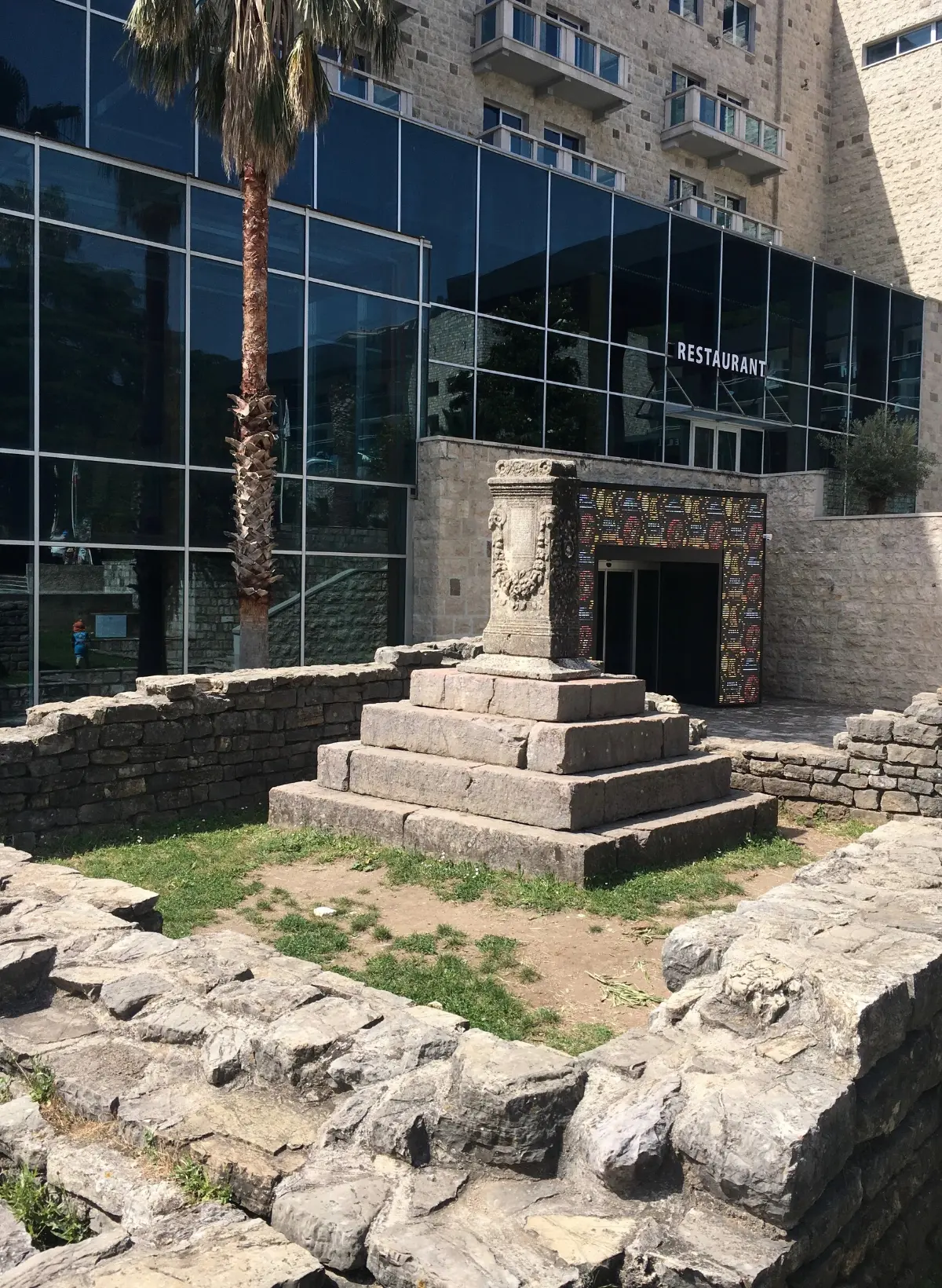
  1. The ancient necropolis: Budva before Budva1
    Stop 11:26

    The ancient necropolis: Budva before Budva

    You are standing in front of the remains of the ancient necropolis, the town's burial ground from the time of the Greeks and Romans. It was found by chance between nineteen thirty-six and nineteen thirty-eight, while foundations were being dug for the Hotel Avala, right next to you. Excavations continued in the nineteen fifties, and above all after the earthquake of nineteen seventy-nine. About four hundred and fifty graves have been found. The oldest date from the Hellenistic period, the fourth century before Christ, and the latest from early Byzantine times. They held gold and silver jewellery, glass, pottery and weapons. Some of the finds are in the Museum of Budva; others ended up in museums in Cetinje, Belgrade, Zagreb and Split. You will often hear that Budva is two and a half thousand years old. That figure comes from written sources: Greek writers mention Budva as a town of Illyria, and the Budva tourist board cites Sophocles, from the fifth century before Christ. Legend says the town was founded by Cadmus, the founder of Greek Thebes, who arrived here in a cart drawn by oxen. That, the story goes, is where the name comes from, because the Greek word for ox is bous. The graves in front of you are hard evidence that people lived and buried their dead here at least two thousand four hundred years ago.

    On to the next stop (⁨40 m⁩): Walk a few steps towards the walls, to the main town gate with its arch. Stop in front of it, still outside, and look up.

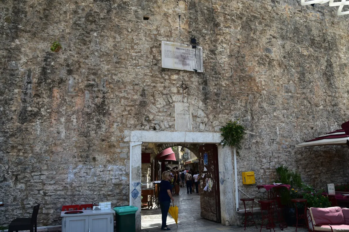
  2. The Main Gate: Porta di Terra Ferma2
    Stop 21:16

    The Main Gate: Porta di Terra Ferma

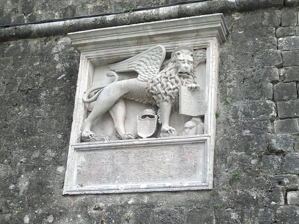
    This is the main town gate, in Italian Porta di Terra Ferma, the land gate. Through it you entered, from the mainland, the town on its small peninsula. Look above the arch. Two coats of arms are set into the wall. The lower one is the medieval coat of arms of Budva: a shield with three stars, each with eight points. Higher up, near the top of the wall, is a lookout post, and below it a relief of a winged lion. This is the lion of Saint Mark, the sign of the Republic of Venice, which ruled Budva from fourteen forty-two to seventeen ninety-seven. The original gate was not exactly here, but about ten metres further north. In front of it stood a low, semicircular tower where people left their weapons before entering the town. The Austrians pulled it down in eighteen sixty-seven and opened this entrance. The custom of leaving weapons did not disappear, though: above the gate, on the inside, an armoury was set up. When you have walked through the gate, turn around. In the niche above the passage is a mosaic icon of the Virgin Mary, the protector of the town. Next to it, an oil lamp used to be lit every night.

    On to the next stop (⁨90 m⁩): Walk through the gate and go straight ahead along the main street, Njegoševa, for about a hundred metres, to a small square with old stone fragments. This is Poets' Square.

  3. Poets' Square: the 1979 earthquake and the rebuilding3
    Stop 31:25

    Poets' Square: the 1979 earthquake and the rebuilding

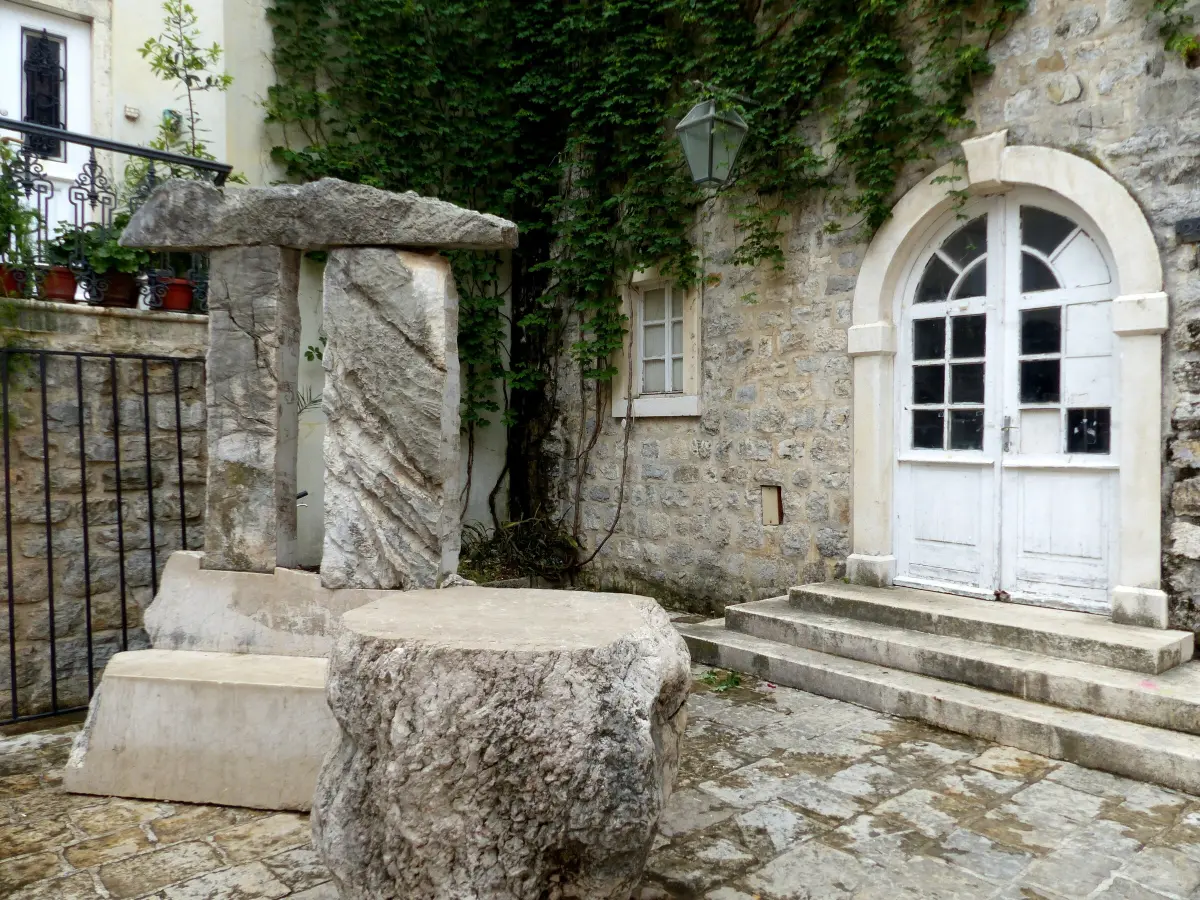
    This is Poets' Square. In summer it is one of the stages of the Grad Teatar festival, which has turned the Old Town into a theatre every year since nineteen eighty-seven. That year is no coincidence. On the fifteenth of April nineteen seventy-nine, just after seven in the morning, an earthquake of magnitude six point nine struck the Montenegrin coast. One hundred and one people died in Montenegro. Budva Old Town was badly wrecked. Of about four hundred buildings, only eight came through undamaged. The walls and towers cracked too. The rebuilding lasted until nineteen eighty-seven. The houses were put back in their original form, stone by stone. Part of the money came from the whole of what was then Yugoslavia: for ten years, working people gave one per cent of their wages to the reconstruction. The earthquake also revealed something much older. During the works, the remains of a massive wall and a town gate were found, built of huge stone blocks. They date from the fourth century before Christ, and they are the oldest walls in Budva. Their pillars can still be seen today, from a viewing gallery on the ground floor of a shop in Njegoševa Street, the street you have just walked along.

    On to the next stop (⁨100 m⁩): From the square take Vuka Karadžića Street towards the eastern wall, then turn into Petra Prvog Petrovića Street. The Museum of Budva is a stone house with a large arched doorway, about a hundred metres from here.

  4. The Museum of Budva: gold from the necropolis4
    Stop 41:21

    The Museum of Budva: gold from the necropolis

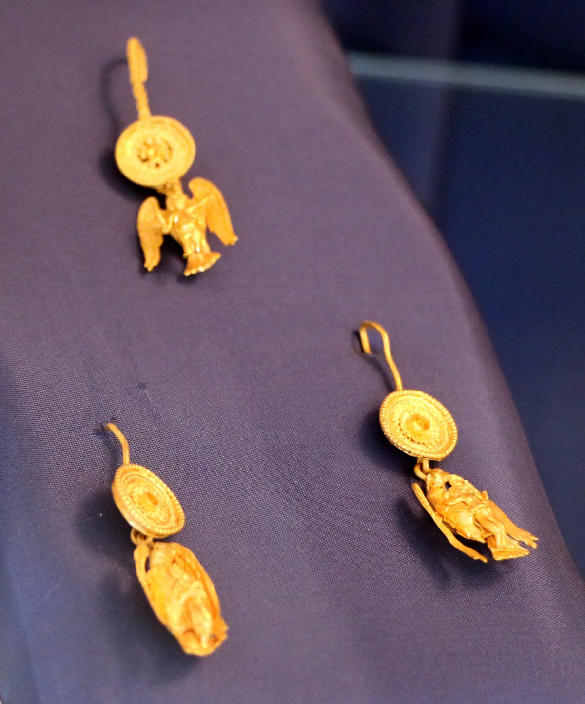
    In front of you is the Museum of Budva, with an archaeological and an ethnographic collection. The building dates from the early nineteenth century. Above the entrance is a coat of arms with a fox and the year eighteen twenty-five. After the earthquake, a Roman pavement was found underneath the house. Inside is part of what came out of the necropolis you saw at the start. The archaeological collection has more than twelve hundred objects, from the fifth century before Christ to the Middle Ages: Hellenistic gold, vessels, glass, silver tableware and tools. Illyrian, Greek, Roman, Byzantine and Slavic traces, all from the same place. If you go in, look for the gold earrings and the brooch showing an eagle carrying a boy in its talons. They are linked to the myth of Zeus, who turned himself into an eagle and carried the young Ganymede off to Olympus. The museum also keeps a Roman mosaic, thought to date from the second century after Christ. It, too, was found by chance, in the late nineteen thirties, while the old Hotel Avala was being built. The ethnographic collection is on the third floor, with objects from this area from the eighteenth to the early twentieth century. Entry is paid; check the opening hours at the door.

    On to the next stop (⁨80 m⁩): Head north, towards the marina, for about a hundred metres, to the gate in the northern wall that leads to the harbour. This is the Pizana Gate.

  5. The Pizana Gate and the town walls5
    Stop 51:25

    The Pizana Gate and the town walls

    This is the Pizana Gate, in the northern wall. It leads to the marina. The northern wall has three gates: the Iron Gate, which once led into an Austrian military hospital, the Pizana Gate, and the gate by the Harbour Master's Office. In the eastern wall there is also the narrow Pizanela, through which rubbish used to be thrown out. The walls around the town are about eight hundred and seventy-five metres long and about twelve metres high. You can read layers in them: Roman and Byzantine, medieval, Venetian and Austro-Hungarian. There were walls here as early as the ninth century. The great earthquake of sixteen sixty-seven brought them down, and new ones were built on the old foundations. At the corners stand bastions. The Gradenigo bastion, where the western and northern walls meet, was built in fourteen ninety-eight, when the Venetians encased a medieval tower. In the north-east is the Repeno bastion, which watched over the entrance to Budva bay. In the south-west is Murava, which cracked right through in nineteen seventy-nine and was later restored to its original shape. You can walk along the walls. The entrance is by the Citadel, at the southern end of town, and there is a separate charge.

    On to the next stop (⁨140 m⁩): Go back south along Stefana Mitrova Ljubiše Street to Poets' Square, and carry on south along Njegoševa for about eighty metres, to an open square with two churches. Stop in front of the church with a bell gable and a dome. This is the Holy Trinity Church.

  6. Holy Trinity Church6
    Stop 61:19

    Holy Trinity Church

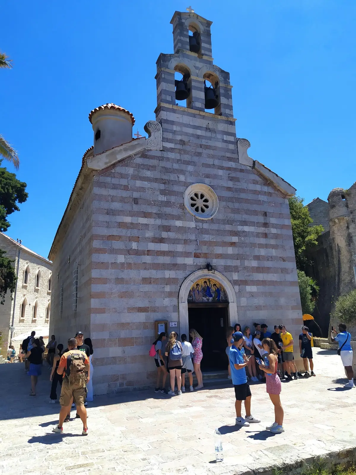
    In front of you is the Orthodox Church of the Holy Trinity. In summer, this square between the churches is the main stage of the Grad Teatar festival. The church is young compared with its neighbours. While Venice ruled Budva, the Catholic Church was dominant. When the Venetian Republic fell, in seventeen ninety-seven, the Orthodox people of Budva asked for a church of their own inside the town. With the support of the Montenegrin prince-bishop, the new Austrian authorities agreed. It was built between seventeen ninety-eight and eighteen hundred and four. Look at the front. At the top is a bell gable with three bells, behind it a dome, and above the west door a stone rose window. Inside is an iconostasis by the Greek painter Naum Zetiri, from the island of Milos, dating from eighteen thirty-six. His signature is below the Crucifixion. Venetian and Byzantine influences mix in the icons. In the churchyard, on the north-west side, is the grave of Stefan Mitrov Ljubiša, a writer and politician born in Budva. Critics called him the Njegoš of prose, for his stories about the people and the past of this region.

    On to the next stop (⁨20 m⁩): Turn towards the larger stone church with the tall bell tower, only about twenty metres away. This is St John's Church.

  7. St John the Baptist's Church7
    Stop 71:23

    St John the Baptist's Church

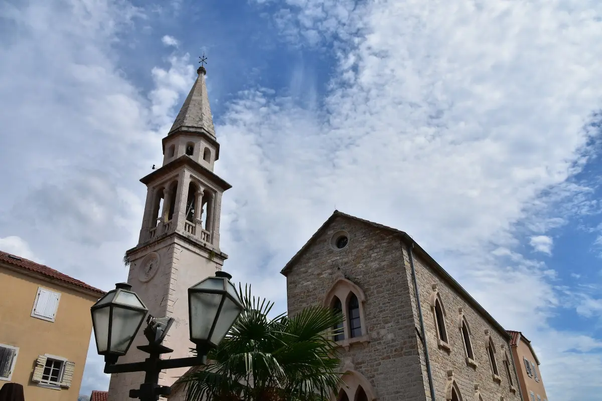
    This is the Catholic Church of St John the Baptist. According to tradition, the first church on this spot was built in the seventh century, when the coast was under Byzantium. In the ninth century, with the arrival of the Benedictines, it became the town's cathedral. It was the seat of the Diocese of Budva until eighteen twenty-eight, when the diocese was abolished. What you see today is mostly the rebuilding after the earthquake of sixteen sixty-seven. The tall bell tower, visible from all over town, went up in eighteen sixty-seven. Next to the church is the former bishop's palace. Inside is an icon of the Virgin and Child, known as Our Lady of Budva, or the Great Panagia. People believed it protected the town from plague and from pirates. For a long time it stood in the church of Santa Maria in Punta, and it was brought here in eighteen hundred and five. The altar wall is a mosaic of Murano glass, forty square metres in size, by the Croatian painter Ivo Dulčić. The ground beneath you is old, too. Under the square lie the remains of Roman baths, found in the mid nineteen eighties and not yet open to visitors. Right next to the church, the walls of an early Christian basilica from the fifth or sixth century were uncovered.

    On to the next stop (⁨60 m⁩): Walk towards the sea, to the south-west, for about sixty metres, to two small stone churches on the very tip of the headland, against the wall above the water.

  8. Santa Maria in Punta and St Sabbas8
    Stop 81:18

    Santa Maria in Punta and St Sabbas

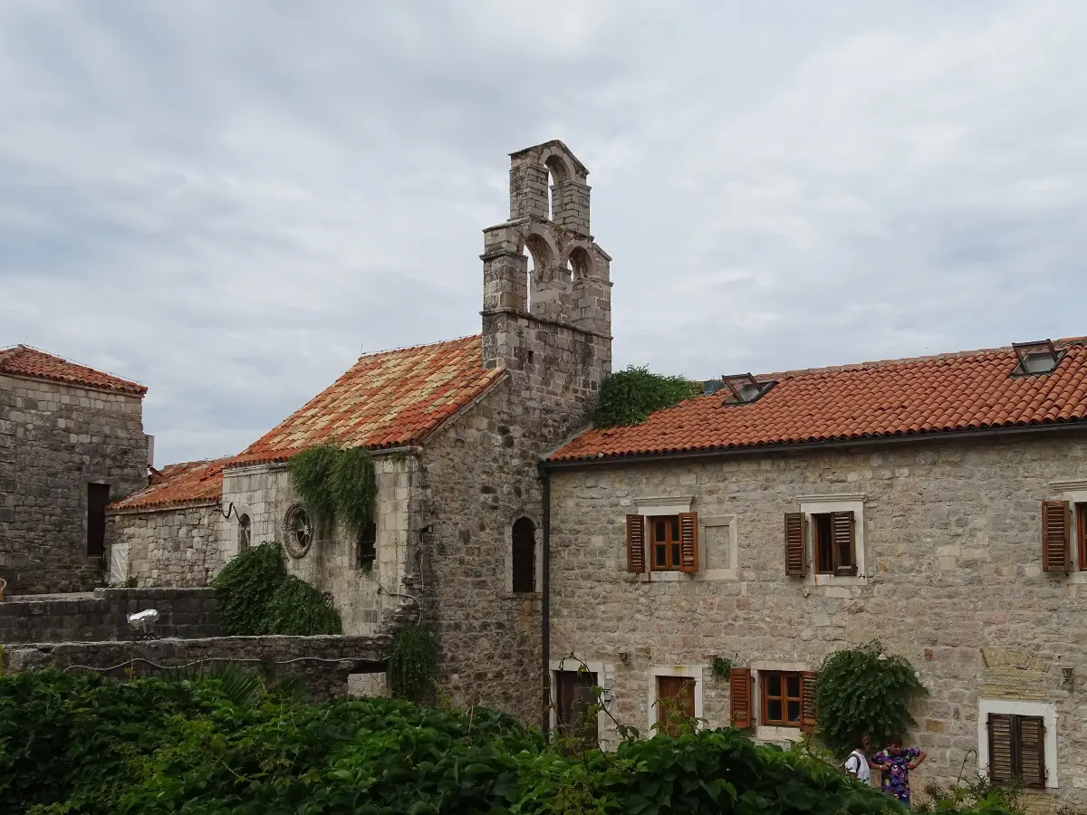
    On the very tip of the headland, on a rock above the sea, stands Santa Maria in Punta, Saint Mary on the Point. It is the oldest church in the Old Town. Building began in the ninth century, when the Benedictines came to the Budva coast. A stone slab set into the church carries the year eight hundred and forty. Experts still argue about how reliable that slab is. According to the town's history, only a year later, in eight hundred and forty-one, Saracens attacked from the sea and laid Budva waste. Later the Franciscans took over the monastery. Budva's oldest school worked here, and the monks copied Greek and Latin authors. The church has been destroyed and rebuilt many times, so you can see Romanesque, Gothic and Baroque features side by side. Today it hosts exhibitions and concerts. The small church next to it is Saint Sabbas the Sanctified. It is not dedicated to the Serbian Saint Sava, but to a monk from Cappadocia who was once the patron saint of Budva. A slab inside says it was founded in eleven fourteen. It is built in alternating rows of white and pink stone, and inside there are faint traces of twelfth-century frescoes.

    On to the next stop (⁨60 m⁩): Go back to the square in front of St John's Church and turn south, up the steps, to the open terrace in front of the largest fortress in town. The entrance to the Citadel is here.

  9. The Citadel9
    Stop 91:23

    The Citadel

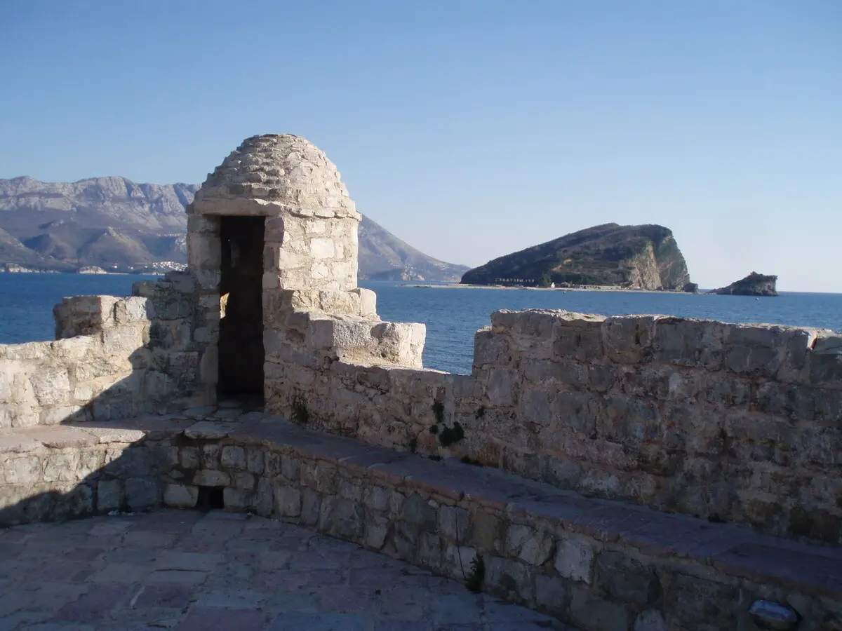
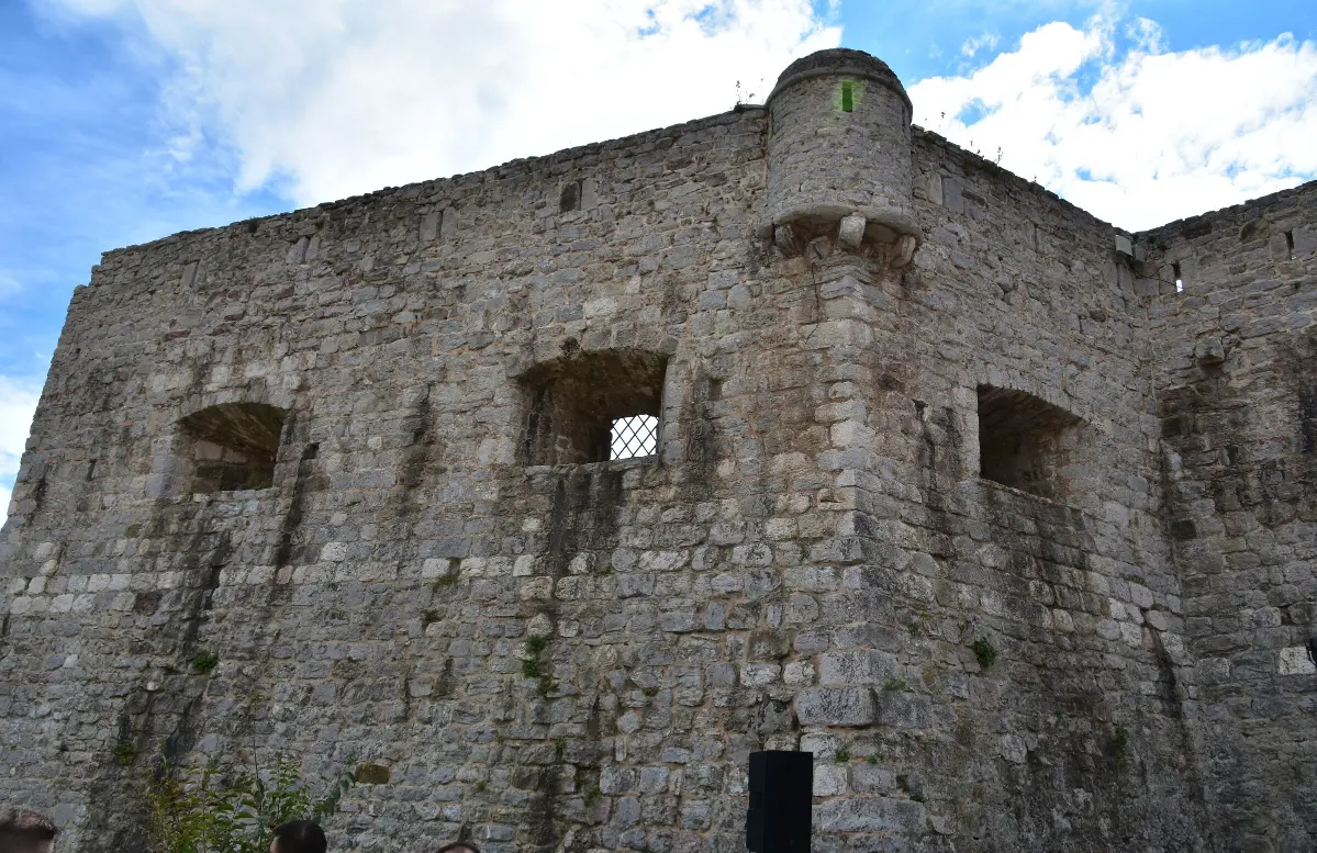
    This is the Citadel, at the highest point of the Old Town. It used to be called the Kaštel, or the Fortress of Saint Mary. The town walls begin here, and they end here. This spot was fortified long before the Middle Ages. According to research, there was a stronghold here even before the Greeks, and in Hellenistic times this was the acropolis of ancient Budva. The fortress itself is first mentioned in fourteen twenty-five. For a while it was also the seat of the Metropolitan of Zeta. What you see today mixes several eras: a medieval tower, Venetian bastions and Austro-Hungarian barracks from the nineteenth century. When the Austrians rebuilt it, they pulled down the small church of Santa Maria in Castio. Part of its south wall, with traces of fresco plaster, can still be seen. The earthquake of nineteen seventy-nine badly damaged the fortress as well. After the restoration, the Citadel was for years a stage of the Grad Teatar festival. Today it is privately owned. Inside there is a small museum display, a library of old books and a restaurant, and from the terrace you can see Sveti Nikola Island. Entry is paid; check the price and opening hours at the entrance.

    On to the next stop (⁨250 m⁩): Walk back along Njegoševa to the main gate, leave the town and turn left. Follow the walls south, past the Hotel Avala, to the concrete path above the sea. The statue of a girl on a rock is about four hundred metres from here.

  10. The Dancer: the girl on the rock10
    Stop 101:04

    The Dancer: the girl on the rock

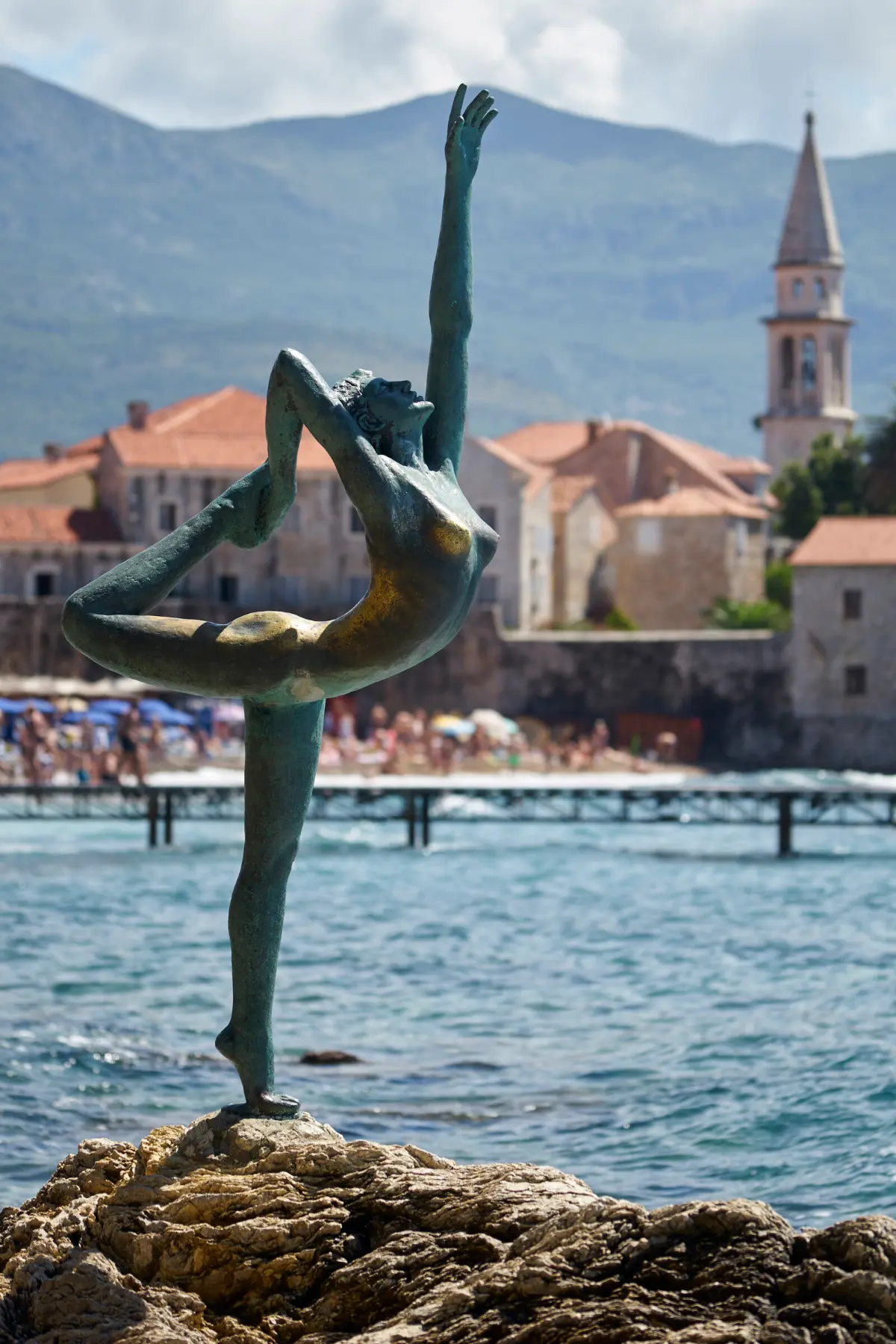
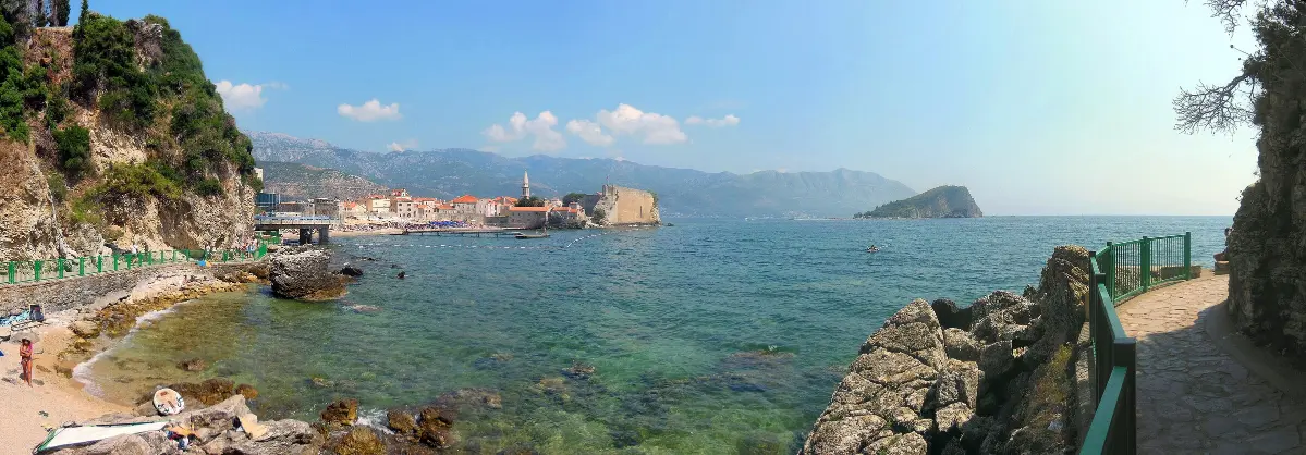
    On the rock in front of you stands a bronze girl caught in a dance move. People call her the Ballerina, the Dancer, or simply the Girl, and she has become one of the most photographed sights in Budva. She is the work of the Belgrade sculptor Gradimir Aleksić. The statue follows an old local story. The girl was engaged to a sailor, who sailed far away to earn money for their life together. He never came back. She stayed faithful to him and came to this rock every morning to watch the sea. That is why she faces the open sea, not the town. Now look back towards the walls. The beach right below them is called Richard's Head. It is named after the American actor Richard Widmark, who filmed The Long Ships in Budva. The path you are standing on runs from the Hotel Avala to Mogren Beach and is about three hundred and fifty metres long. It is cut into the rocks above the sea. In a strong southerly wind and high waves it is not safe, and it is closed. Hold on to the railing and keep an eye on children.

    On to the next stop (⁨70 m⁩): Carry on along the path for about ninety metres, to a wider spot with a view back towards the Old Town and the island.

  11. View of Sveti Nikola Island and Mogren11
    Stop 110:57

    View of Sveti Nikola Island and Mogren

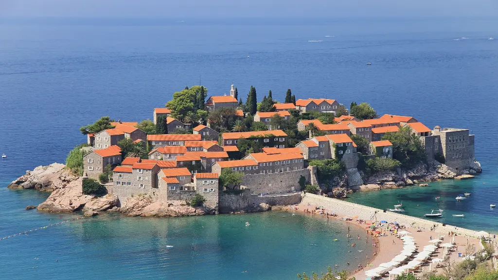
    Look back across the bay. To the right of the Old Town walls, out at sea, is Sveti Nikola Island. Less than a kilometre of water separates it from Budva. It is named after the small church of Saint Nicholas that stands on it. Locals also call it Hawaii. The island has three beaches, and in summer small boats run there from Budva marina. Ahead of you, beyond the rocks, is Mogren. These are two beaches joined by a short tunnel through the rock. Legend says the name comes from a Spanish sailor called Mogrini. His ship was wrecked here; he survived and, out of gratitude, built a chapel to his patron, Saint Anthony. From here you can see almost the whole walk you have just done: the walls with the ancient burial ground behind them, the main gate, the bell tower of St John's, the churches on the point and the Citadel on its rock above the sea. Over the centuries Budva was knocked down by invaders and by earthquakes, and each time its people rebuilt it on the same spot.

At the end

Farewell

This is the end of our audio walk through Budva Old Town. Thank you for walking with us. Mogren Beach is a few more minutes along this path, and you return to town the same way. On our website you will find more about Budva, the Citadel, Mogren Beach and Sveti Nikola Island, and the programme of the Grad Teatar summer festival. If you are heading to the Bay of Kotor, our audio guide to Kotor Old Town is waiting for you there. Have a good trip.

Good to know

Before you set off

Every word as text

The full narration of each stop is on this page and in the player, with the spoken sentence highlighted – for noisy streets and for deaf and hard-of-hearing visitors.

Works with the screen locked

Once you have pressed play, the narration keeps going with the screen off; use the lock-screen or headphone buttons for pause and next.

Your location stays on your phone

Location mode is optional and works only while this page is on screen. We never receive or store where you are.

Works offline

Download the tour before you go and it plays without mobile data.

Practical notes

Start: the remains of the ancient necropolis by the Hotel Avala, in front of the main gate of the Old Town. Length: about 1.3 km on foot (11 stops); ends on the Mogren path, about 400 m back to the Old Town. Duration: about 60 min with listening (about 20 min walking, about 25 min of audio), without visiting the museum or the Citadel. Best time: early morning or early evening; in summer the streets are busiest from midday until late at night. Spring and autumn are the most comfortable. Accessibility: - The Old Town is a pedestrian zone, mostly flat, paved with polished stone that is slippery when wet; a few steps near the churches and the Citadel. - The Citadel and the wall walk: steps, not wheelchair accessible. - The Mogren path: a concrete path with a railing, cut into the rocks above the sea; closed in strong southerly winds and high waves. Tickets: walking through the Old Town is free. The Citadel (privately owned), the wall walk and the Museum of Budva charge for entry; check prices and opening hours on site. Parking: the Old Town is closed to cars; there are paid car parks nearby.

Audio guides

More audio guides

Narration: AI-generated voice from our editors' scripts · Map © OpenStreetMap contributors, OpenFreeMap. Map data and sources →

Zora

Your Montenegro travel guide

Hi, I'm Zora

Ask me about places, beaches, food, events or a trip plan — in any language.