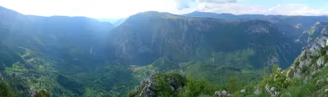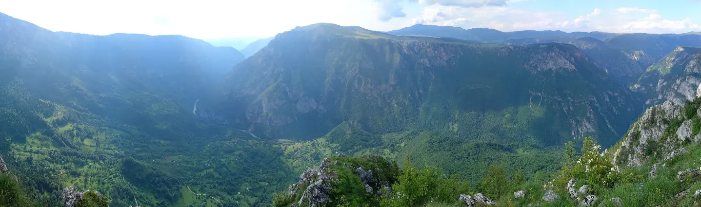
Hiking tour from Žabljak to the marked Ćurevac viewpoint in Durmitor National Park.
A hiking trail from Žabljak leads to the Ćurevac viewpoint in Durmitor National Park. The route is 7.9 km long, has 285 m of total ascent, and is done out and back along the same path.
The trail starts in Žabljak, at the Church of Saint Sava at 1,442 m above sea level, where there is also parking. From the start it follows an earthen and forest path, partly gravel, and a smaller part on asphalt or concrete surface. The earthen and forest path makes up 45%, gravel 31%, and asphalt or concrete 24% of the route.
The lowest point is at 1,416 m above sea level, and the highest at 1,613 m above sea level. The route leads to the Ćurevac viewpoint at 1,604 m above sea level. Nearby is Ćurevac Peak at 1,625 m above sea level. The trail is marked and is done out and back along the same path.
The main goal is the viewpoint in Durmitor National Park. In the area around the trail, within 10 km, are Black Lake, Fish Lake and Sušičko Lake. Estimated duration without breaks is 5 h 5 min, with a total ascent of 285 m and descent of 118 m.
What this difficulty means
Longer or steeper sections and uneven ground. You need basic fitness, sturdy shoes and a little mountain experience.
Mountain hiking grade SAC T1 (scale T1–T6).
Move along the profile to follow the route on the map; switch on 3D for the terrain.
↑ 285 m · ↓ 118 m · highest point 1,613 m
Along the way
Photos and short clips from points along the route — tap one to open it.
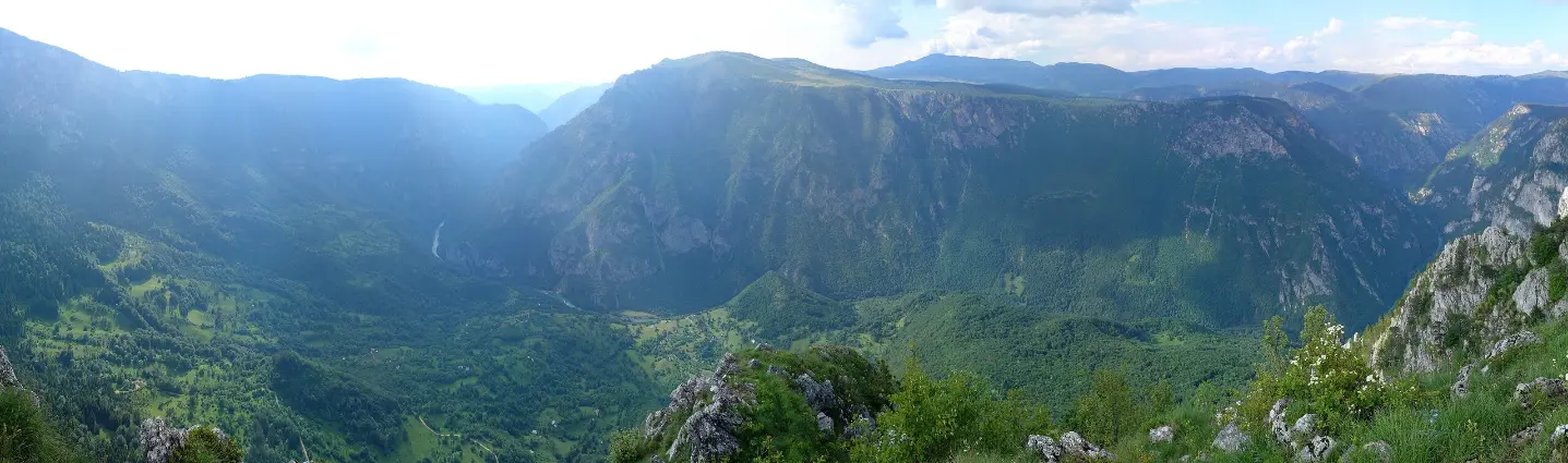
Main goal of the trail, at 1,604 m above sea level, in Durmitor National Park.
Peak at 1,625 m above sea level, near the Ćurevac viewpoint.
Church or monastery at 1,442 m above sea level, at the start of the trail in Žabljak.
The trail is located in Durmitor National Park; nearby are Black Lake, Fish Lake and Sušičko Lake.
Bring enough water and food, as the duration without breaks is estimated at 5 h 5 min.
Put on hiking boots with good soles because of the earthen/forest trail and gravel.
Start earlier in the morning, especially in July and August, to avoid the daytime heat.
Bring layered clothing and sun protection; at 1,400–1,600 m above sea level the weather changes quickly.
Check the weather forecast before setting out.
The trail is a hiking trail of moderate difficulty. Due to mountain conditions, fog or storms are possible, so follow the forecast. In case of emergency, call 112.
Emergency number in Montenegro: 112.
Good to know
Best season
The best months are June, July, August, September and October; then the hiking conditions are usually more favourable.
Getting there
The start of the trail is in Žabljak, next to the Church of Saint Sava, where there is also parking. Additional parking is 0.3 km from the start of the trail.
The trail length is 7.9 km, and the route is done out and back along the same path.
Estimated duration without breaks is 5 h 5 min.
On our scale the difficulty is moderate, and on the SAC hiking scale T1.
The best months are June, July, August, September and October.

413 km↑ 8,566 m5–8 days

406 km↑ 10,191 m6–8 days

399 km↑ 9,352 m5–8 days
78.8 km↑ 2,501 m3–5 days

143 km↑ 5,436 m6–9 days
10.3 km↑ 143 m3½–4½ h
11.7 km↑ 1,090 m5½–8 h
6.7 km↑ 808 m5½–8 h
Times and grades are estimates. Conditions change: check the weather and local information before you set out.

Ask about Montenegro
Ask me about destinations, restaurants or activities.