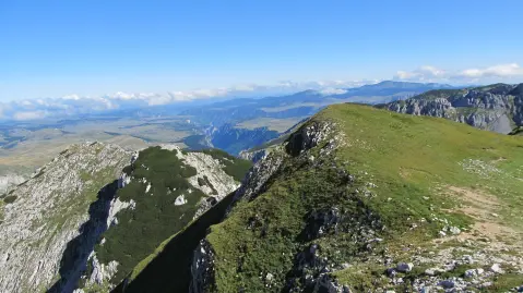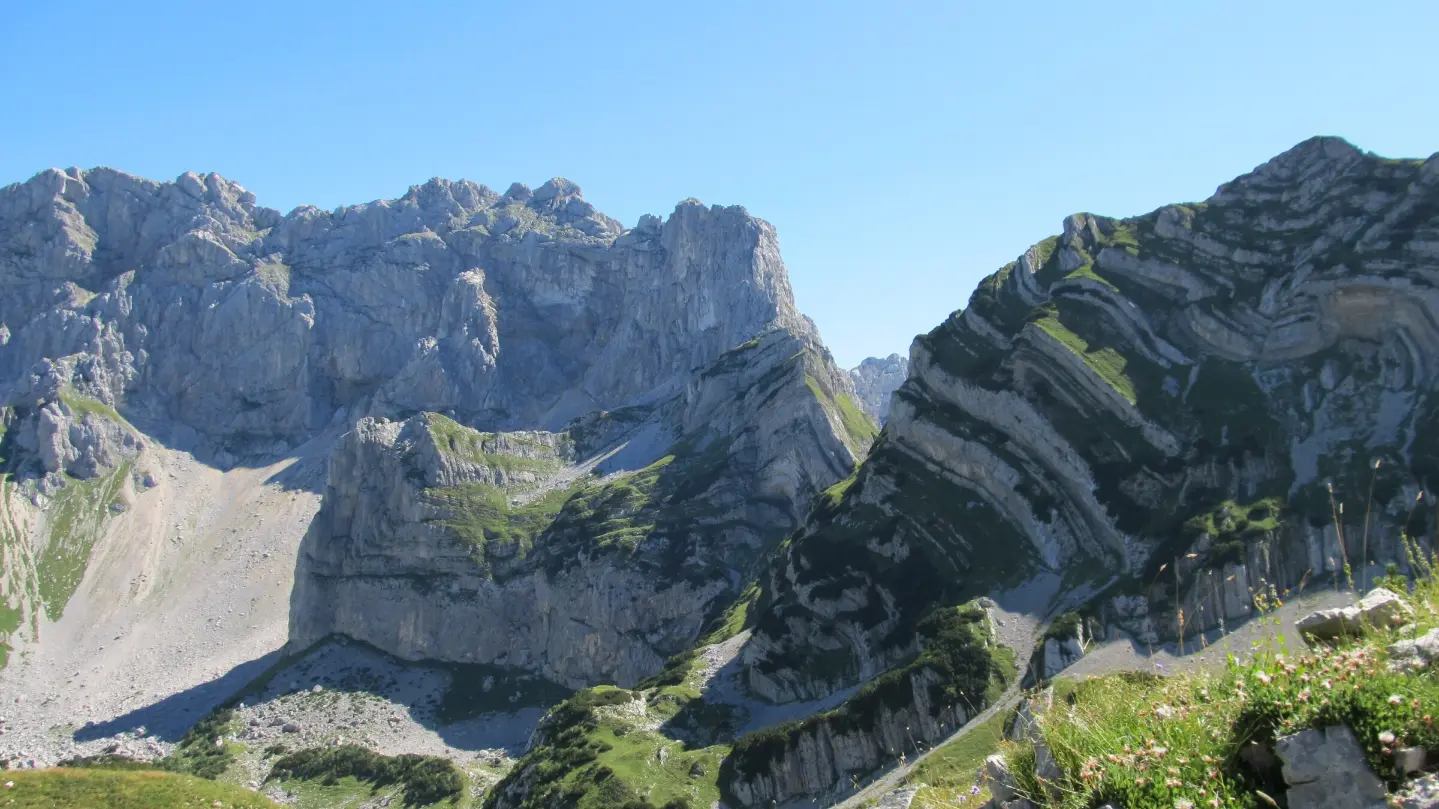
A short scenic hiking tour through the high-altitude part of Durmitor National Park.
The Šarban – Prutaš hiking trail is 3.9 km long and runs through Durmitor National Park. The total ascent is 16 m, the descent 686 m, and the estimated walking time without breaks is 1 h 55 min.
The Šarban – Prutaš trail is 3.9 km long and runs through Durmitor National Park. It is a one-way route, and the surface is 100% dirt/forest path.
The route has a total ascent of 16 m and a total descent of 686 m. The lowest point is 1703 m a.s.l., and the highest is 2386 m a.s.l. Along the route are the peak Prutaš (2393 m a.s.l.), the peak Balja greda (2127 m a.s.l.), and the pass Škrčko ždrijelo (2114 m a.s.l.). There are also two viewpoints along the route, at 2373 m a.s.l. and 1696 m a.s.l.
The trail is of moderate difficulty (SAC T2), and the estimated walking time without breaks is 1 h 55 min. Due to the elevation range and length of the descent, it is suitable for hikers with basic experience. Near the start of the trail is Sušičko jezero (approx. 5.9 km), and in the wider area are Crno Jezero (approx. 7.1 km from the trail) and Žabljak (approx. 9.7 km from the trail).
What this difficulty means
Longer or steeper sections and uneven ground. You need basic fitness, sturdy shoes and a little mountain experience.
Mountain hiking grade SAC T2 (scale T1–T6).
Move along the profile to follow the route on the map; switch on 3D for the terrain.
↑ 16 m · ↓ 686 m · highest point 2,386 m
Along the way
Photos and short clips from points along the route – tap one to open it.
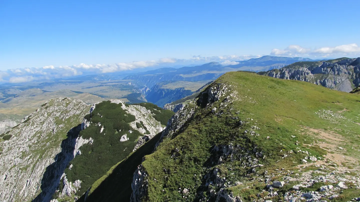
A prominent high-altitude point along the route in Durmitor National Park.
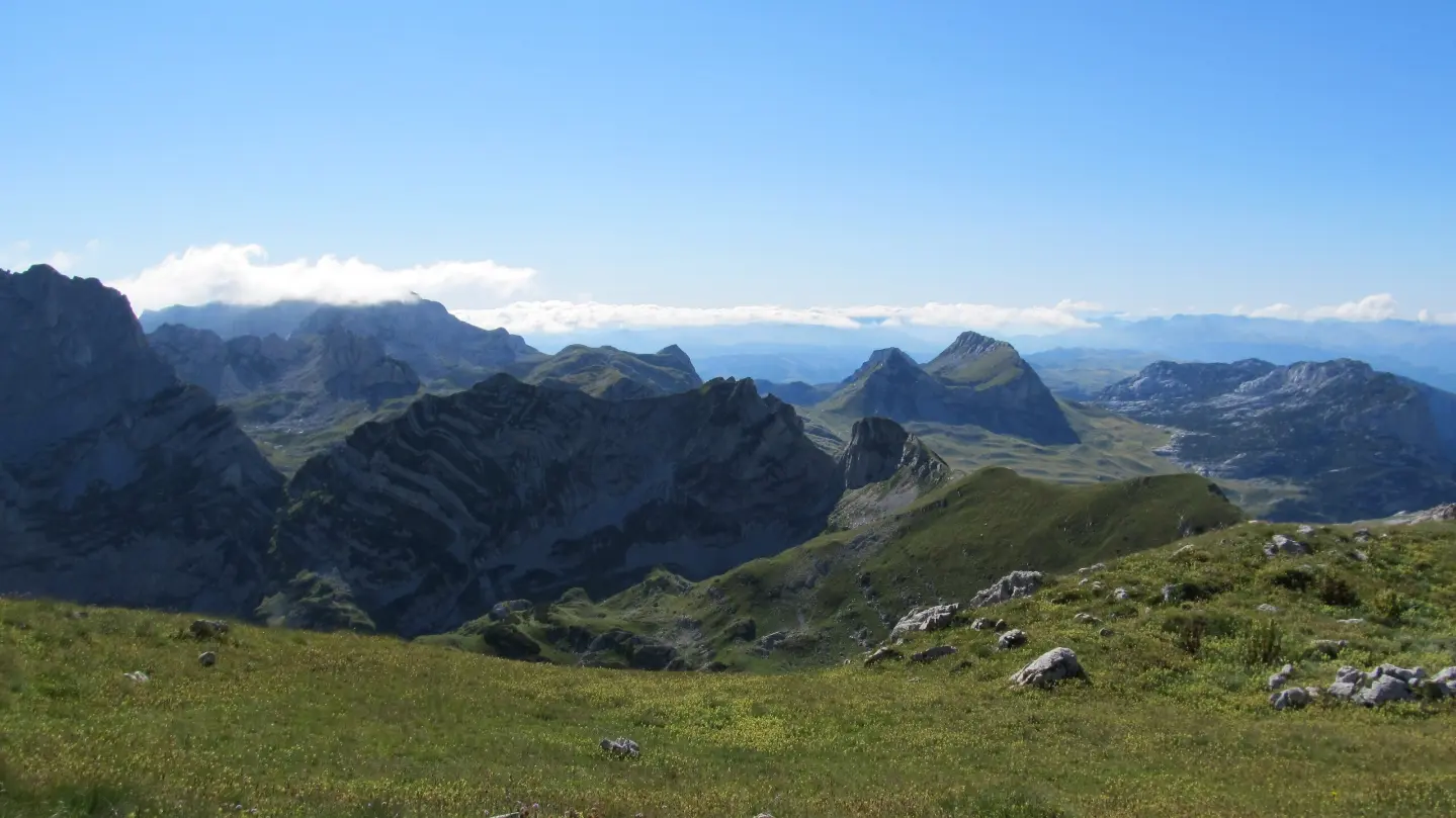
Two viewpoints along the route: at 2373 m a.s.l. and at 1696 m a.s.l.
A peak along the trail.
A pass along the trail.
Bring enough water, as no water sources are noted along the trail.
Wear layered clothing and bring a windbreaker; above 2000 m the weather can change quickly.
Check the weather forecast before setting out and start in the early morning hours.
Wear hiking boots; the surface is dirt and forest path.
Use trekking poles for the long descents.
In the high Durmitor area, the weather can deteriorate rapidly; fog, rain, and thunderstorms are not uncommon. Stay on the hiking trails and do not leave the marked route. In case of emergency, call 112.
Emergency number in Montenegro: 112.
Good to know
Best season
The most suitable period is from June to September, when high-altitude trails are generally passable. In early summer, there may be snow on sections above 2000 m a.s.l.
Getting there
The trail starts at Šarban and ends at Prutaš. The nearest location to the trailhead is Sušičko jezero (approx. 5.9 km); Crno Jezero is approx. 7.1 km from the trail, and Žabljak is approx. 9.7 km away.
The trail is 3.9 km long.
The estimated duration without breaks is 1 h 55 min.
The difficulty is moderate, rated T2 on the SAC scale.
The total ascent is 16 m, and the total descent is 686 m.
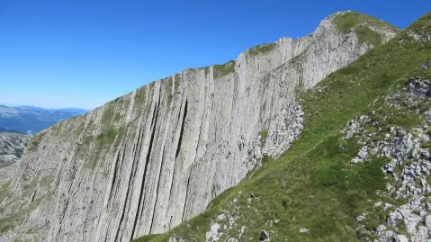
Hiking · Sušičko jezero · Durmitor National Park
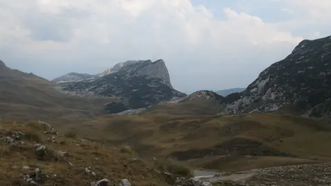
Hiking · Sušičko jezero · Durmitor National Park
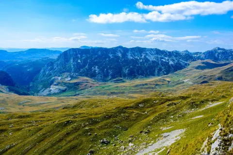
Cycling · Riblje jezero · Durmitor National Park
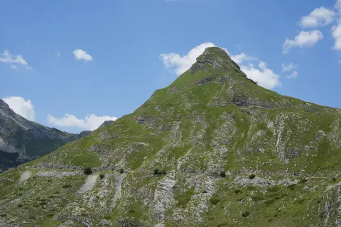
Cycling · Vražje jezero · Durmitor National Park
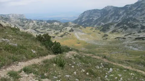
Hiking · Crno Jezero · Durmitor National Park
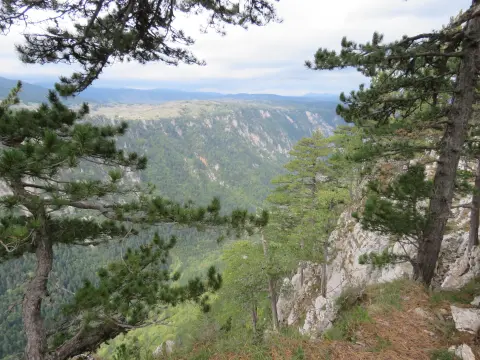
Hiking · Sušičko jezero · Durmitor National Park
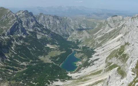
Hiking · Crno Jezero · Durmitor National Park
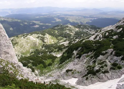
Hiking · Crno Jezero · Durmitor National Park
Times and grades are estimates. Conditions change: check the weather and local information before you set out. Map and data sources →