


Herceg Novi
Start of Sea and Heights, around the bay to Kotor and Tivat.
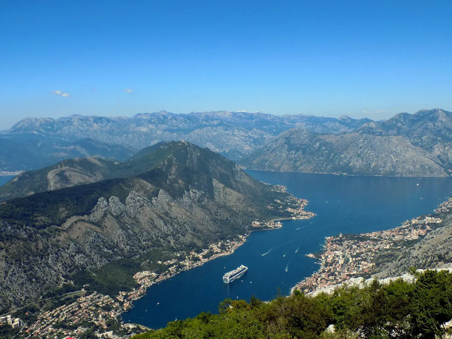
From the hairpins above Kotor to the Durmitor Ring and the Piva canyon, on signposted panoramic routes
Montenegro is a country to drive slowly. Five panoramic roads are signposted with brown signs and a route number: the Circle around Korita, the Durmitor Ring, Sea and Heights, the Crown of Montenegro and Life on Luštica. All use existing roads, many of them narrow and winding, and the finest stretches, from the hairpins above Kotor to the Piva canyon, call for patience and good planning.
Five signposted panoramic roads, from the Circle around Korita (65 km) to the Crown of Montenegro (over 800 km): lengths, season, what to expect on the road and driving rules.
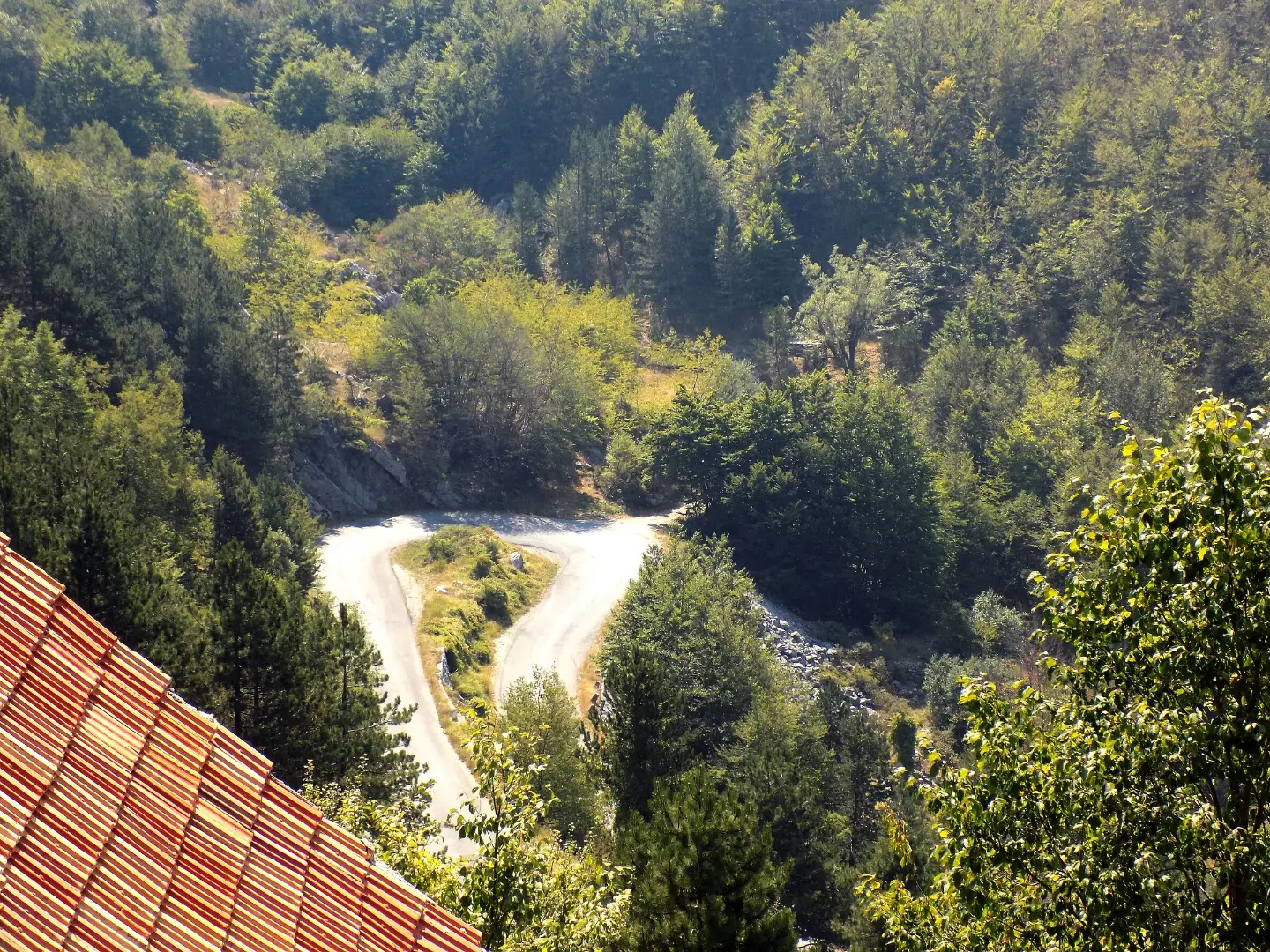
Montenegro's panoramic roads are suggested routes on existing roads, signposted with brown signs and a route number. The shortest is Life on Luštica (40 km), followed by the Circle around Korita (65 km), the Durmitor Ring (76 km), Sea and Heights (283 km) and the Crown of Montenegro, more than 800 kilometres long. Each has an audio guide in the izi.travel app. The routes are not recommended for large campers or inexperienced motorhome drivers.
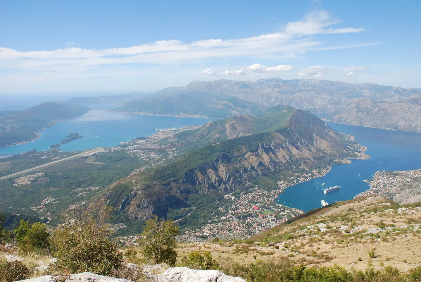
Route 3 starts in Herceg Novi and circles the Bay of Kotor via Kamenari, Risan and Kotor to Tivat, then climbs the Lovćen hairpins to Njeguši and Cetinje. It then drops to Budva, Sveti Stefan and Petrovac, crosses to Lake Skadar at Virpazar and reaches Ulcinj or Bar via Ostros. It is 283 kilometres long, takes two to three days, and its highest point is on Lovćen, at about 1,600 metres. Villagers once used the old road to Njeguši to carry their goods to market in Kotor; today the drive up the hairpins is an attraction in itself, but it calls for care.
The 76-kilometre loop (83 with the Ćurevac viewpoint above the Tara canyon) starts in Žabljak, though you can also begin in Šavnik or Plužine. It is paved all the way but narrow and winding, and it climbs to 1,907 metres at the Sedlo pass. It is mostly closed in winter, so the season runs from May to October; rockfall is common in the Sušica canyon. Driving it anticlockwise is recommended.
Did you know?
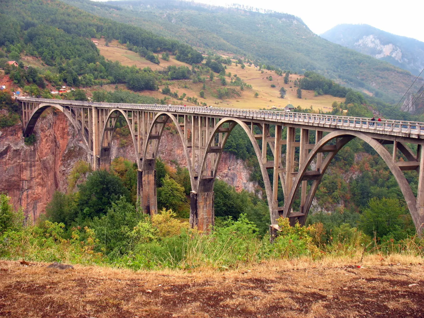
The Đurđevića Tara Bridge, with five arches and a main span of 116 metres, was completed in 1940 and was then the largest reinforced-concrete road bridge in Europe.
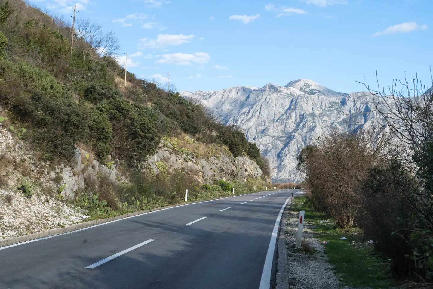
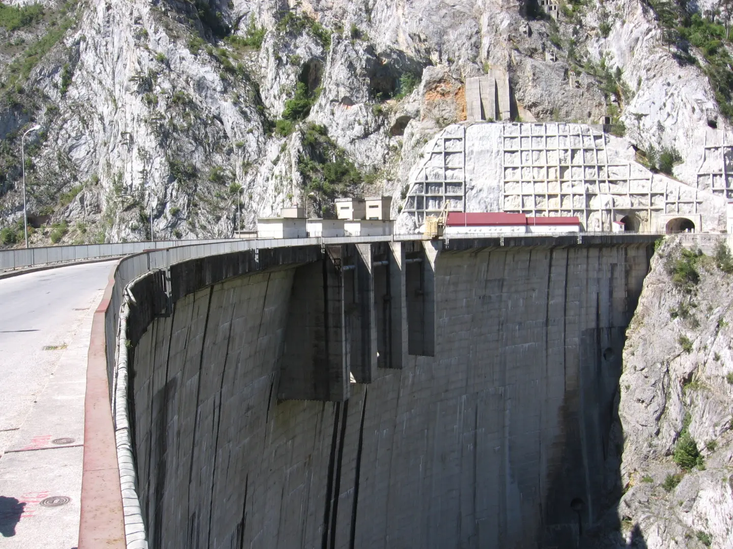
The longest route, over 800 kilometres and five to seven days, runs through the north and east of the country, its national parks and UNESCO-protected areas. On it are the Đurđevića Tara Bridge, the road through the Piva canyon and the Morača gorge. From Plužine to Šćepan Polje the road runs above Piva Lake, 42 kilometres long, over the Mratinje dam and on through the canyon cliffs, with many short tunnels; this stretch needs extra care. Between Kolašin and Podgorica, beside the main road, stands Morača Monastery, founded in 1252.
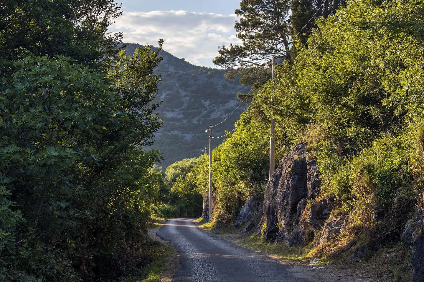
The Circle around Korita, route 4, was the first fully signposted panoramic road: from Podgorica via Medun and Ubli to Kučka Korita, Zatrijebač and Fundina, up to 1,400 metres and above the Cijevna canyon. There are no petrol stations on it. Life on Luštica runs through the villages of Bjelila, Krašići, Zabrđe, Klinci, Tići and Mardari; the road is narrow with plenty of climbs, so allow a whole day.
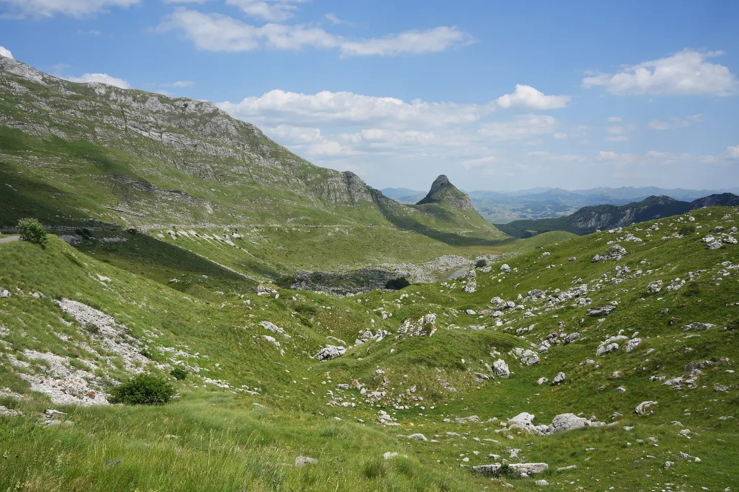
From the Bay of Kotor to Sedlo at 1,907 metres
Five signposted routes, from 40 to more than 800 kilometres, on roads made for slow driving.
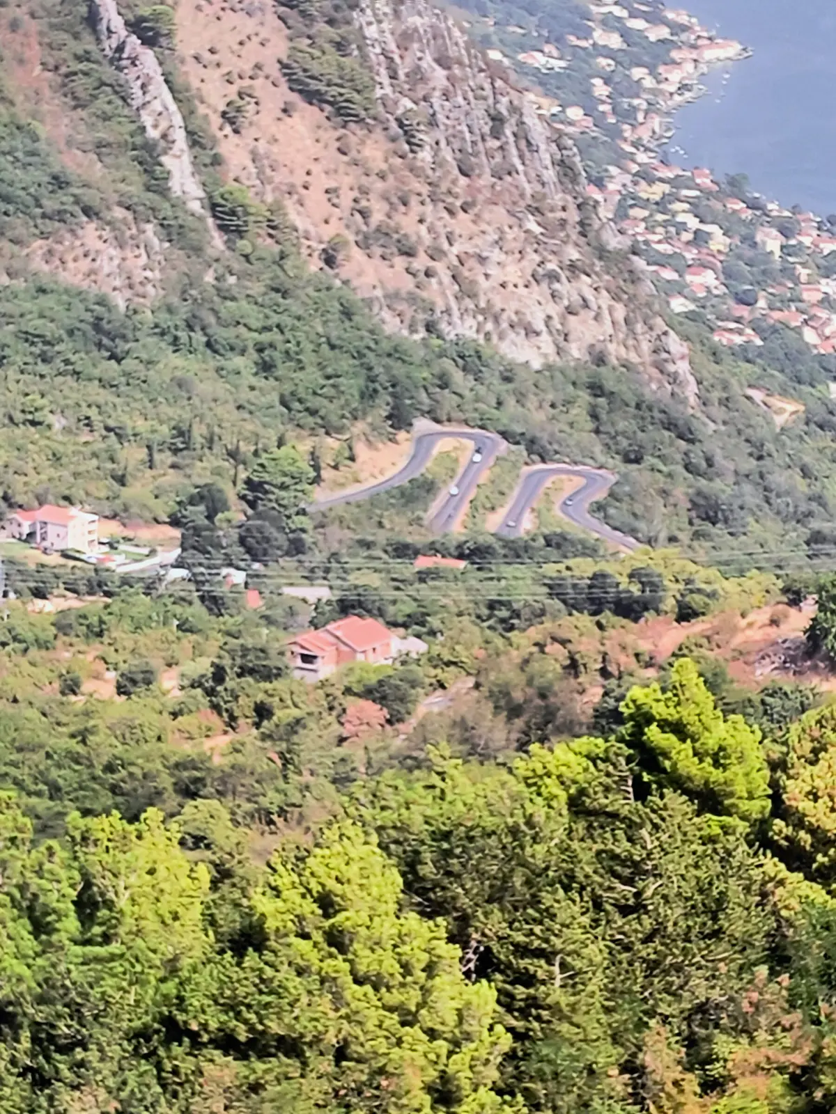
The old road from Kotor up to Njeguši and Lovćen, part of Sea and Heights, with views over the whole bay. It is narrow and calls for care.
Read more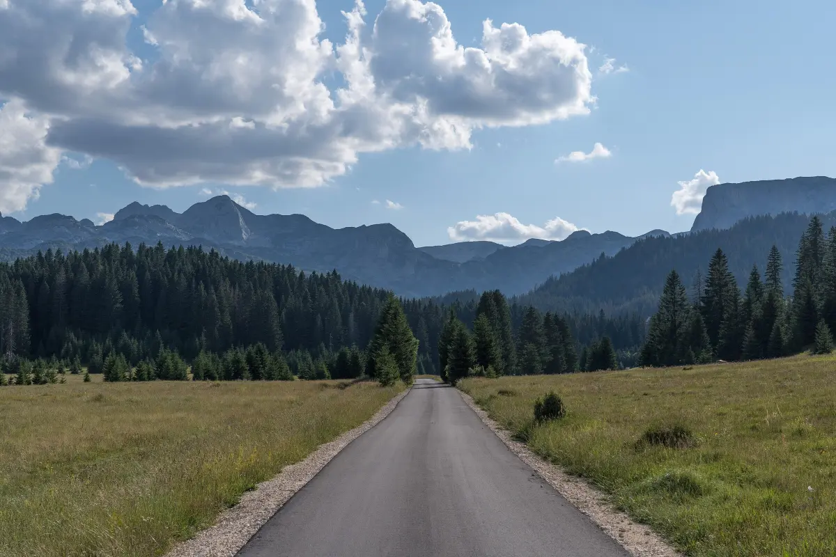
A 76 km paved loop from Žabljak over the pass below Štuoc (1,952 m, the highest point) and Sedlo (1,907 m). It usually opens in late May or June and stays open until October.
Read more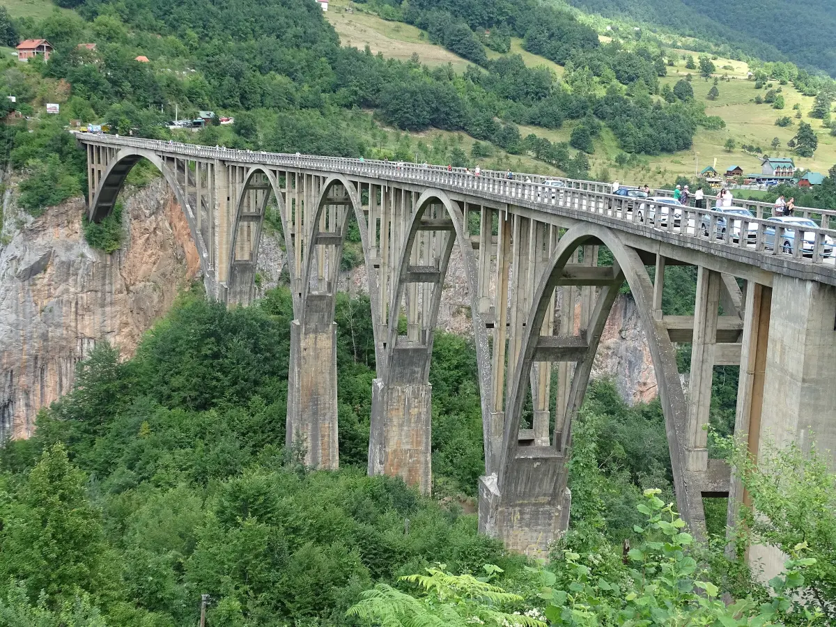
A five-arch bridge from 1940, 365 m long, its roadway 172 m above the Tara, on the Crown of Montenegro route.
Read more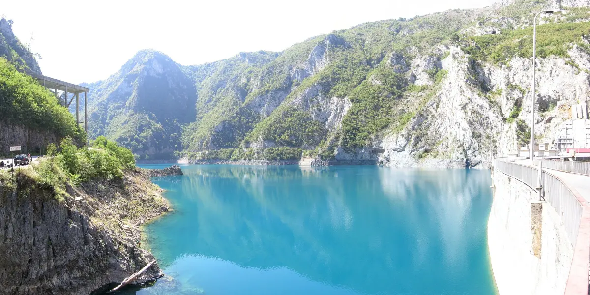
The road from Plužine to Šćepan Polje along Piva Lake, over the Mratinje dam and through the canyon cliffs with short tunnels.
Read moreBay of Kotor
Start of Sea and Heights, around the bay to Kotor and Tivat.
Bay of Kotor
From here the hairpins climb to Njeguši and Lovćen.
The old royal capital
On Sea and Heights, between Lovćen and the descent to Budva.
The capital
Start and finish of the Circle around Korita, 65 km through Kuči to the Cijevna canyon.
Durmitor National Park
Start of the Durmitor Ring and a base for the Đurđevića Tara Bridge.
Piva Lake
Start of the road through the Piva canyon to Šćepan Polje and an alternative entry to the Durmitor Ring.
Headlights must be on in daytime too. Carry a reflective vest and a first-aid kit, and in winter, depending on conditions, winter equipment or snow chains. The blood alcohol limit is 0.3 per mille.
The Circle around Korita and the Durmitor Ring are not for campers longer than 7 m or wider than 2.30 m. On narrow stretches you may have to reverse to let another vehicle pass.
There are no petrol stations on the Circle around Korita, and few on the mountain routes. Fill up before you set off and leave time for the viewpoints.
After winter and heavy rain, damage and rockfall are possible, especially in the Sušica and Piva canyons. Check road conditions on the AMSCG website (amscg.org); roadside assistance is on 19807.
Kilometres take longer here than on a motorway. Sea and Heights is a two-to-three-day route, the Crown of Montenegro five to seven days.
FAQ
A gondola that covers 1,316 metres of elevation in 11 minutes: from Dub Station near Kotor to Kuk on Lovćen, with views of the Bay of Kotor, an alpine coaster, Falcon Fly and Aero Bar at the top.
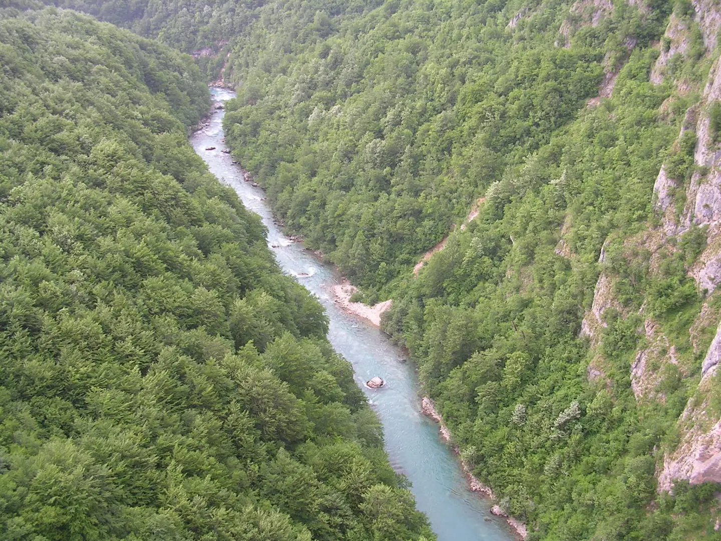
The Tara canyon, up to 1,300 metres deep, Piva with its 220-metre dam, Morača on the road to Kolašin, Mrtvica for walkers and Nevidio for canyoning: a guide to Montenegro's canyons.
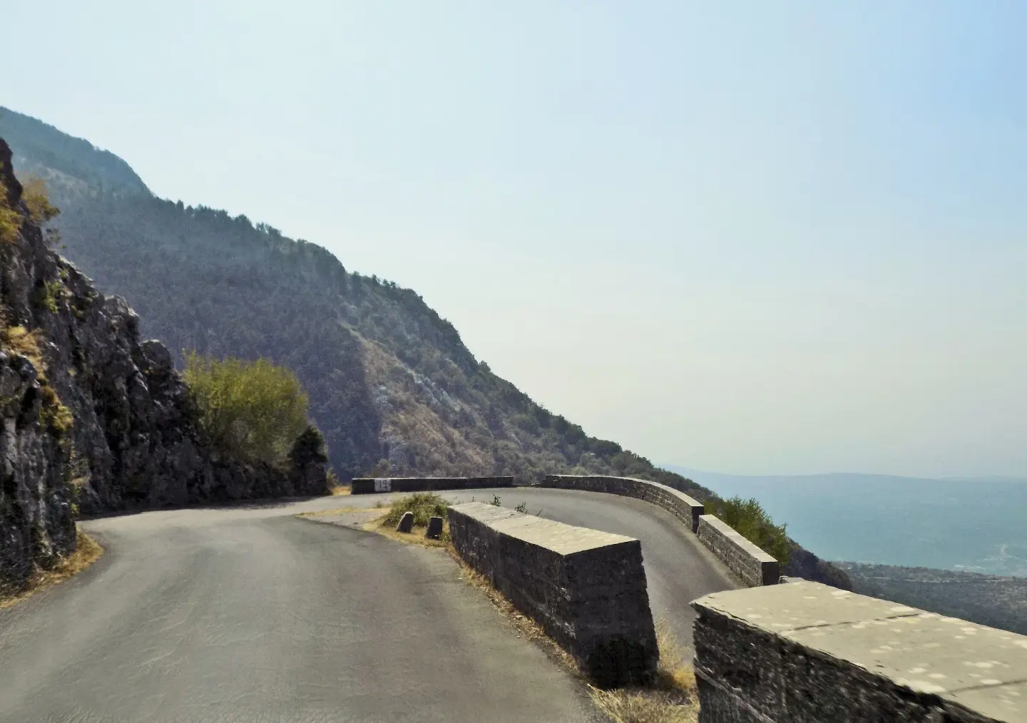
In Montenegro there is no vignette: you pay only for the Sozina tunnel and the Smokovac–Mateševo motorway. Lights must be on even during the day, a blood alcohol level of 0.3 per mille is allowed, and from 15 November to 30 March winter equipment is mandatory. Here are the official toll prices, rules and fines from the law, border crossings, fuel and parking by city.
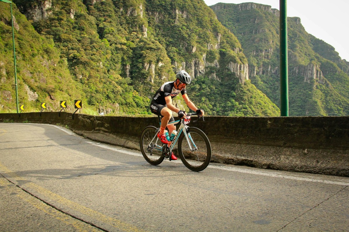
Five national Top Biking Trail routes, EuroVelo 8 along the coast, the Durmitor Ring over the Sedlo pass and easy trails around Lake Skadar: how to plan a bike trip through Montenegro.
Pick up a car on the coast, loop through the canyons to Durmitor and back by the bay.
Start of Sea and Heights, around the bay to Kotor and Tivat.
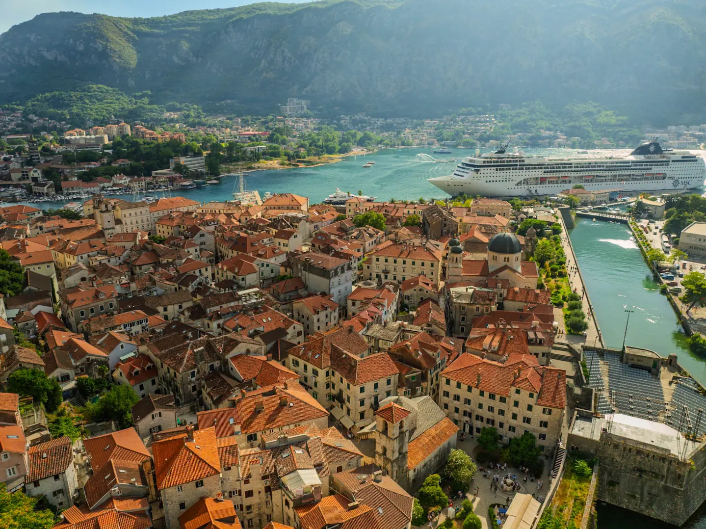
From here the hairpins climb to Njeguši and Lovćen.
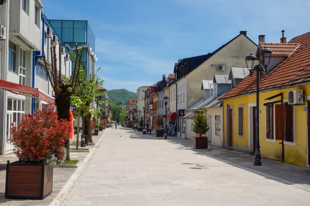
On Sea and Heights, between Lovćen and the descent to Budva.

Start and finish of the Circle around Korita, 65 km through Kuči to the Cijevna canyon.
A road trip starts with the car – pick it up at the airport or in Budva.