The largest developed natural climbing area in Montenegro, at the exit of the Morača Canyon, just a few kilometers from Podgorica.
The largest developed natural climbing area in Montenegro, at the exit of the Morača Canyon, just a few kilometers from Podgorica.
Smokovac is a limestone cliff at the exit of the Morača Canyon, about 5 km northwest of the center of Podgorica, along the road to Kolašin. According to montenegro.travel, there are 86 equipped routes graded from V to X+ (UIAA), 10 to 32 m long, while a local climbing guidebook lists around a hundred routes from 3 to 8b+ on the French scale.
The rock is rich in tufas, and the climbing area has several sectors – along with the main cliff and riverside sectors (e.g. Titograd, up to 20 m), there are also harder sectors on the western side of the valley (Wonderwall, Dementia). The climbing area has been developed since 2006.
Sources: montenegro.travel – Sport climbing (https://www.montenegro.travel/me/istrazi-crnu-goru/priroda-i-avanturizam/sportsko-penjanje); Montenegro Climbing Guide (working version 2022, Mali alpinistički klub, montenegroclimbing.net); coordinates: © OpenStreetMap contributors (ODbL).
The information is indicative and for planning purposes; the number and grades of routes change as climbing areas are being equipped. For an up-to-date guidebook, contact local climbing clubs.
Places on this route
The main part of the climbing area is on private land: the owner allows climbing on condition that no litter is left, no fires are lit, and no camping under the cliff; the first large cave in sector E is not allowed for climbing. A helmet is recommended. In emergencies, call 112.
Emergency number in Montenegro: 112.
Good to know
Best season
Best in spring and autumn; in summer it is too hot for part of the day. In winter, tufas can be wet.
Getting there
From Podgorica take the main road towards Kolašin; park near the bridge over the Morača, then follow a marked trail for about 10 minutes to the cliff.

Top Biking Trail 4 – ENDLESS LANDSCAPES is a 413.5 km long, very demanding one-way cycling route. It passes through Durmitor National Park, past Žabljak, Kolašin, Podgorica and Danilovgrad, with 8,566 m of elevation gain.
413 km8,566 m5–8 days
View trailThe trail on Gorica Hill winds through greenery above Podgorica to the summit at 130 m a.s.l. It is only 0.9 km long and ideal for a relaxed walk at any time of day.
0.9 km46 m25–35 min
View trailNovo Selo – Čkvrka is an easy hiking trail 3.2 km long. It runs one way, through dirt and forest terrain, with an ascent of 21 m and a descent of 134 m. Duration without breaks is 1 h.
3.2 km21 m50–70 min
View trailA small urban crag on the northern slope of Ljubović Hill in Podgorica – 4 short routes.
View trail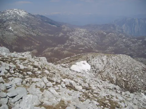
A multi-day mountain hiking route from Spuž to Poljana, 44.2 km long, with 463 m of ascent and 1992 m of descent. It is estimated at 13 h 50 min without breaks and is intended for experienced hikers.
44.2 km463 m2–3 days
View trailSouth-facing limestone cliffs in the Cijevna Canyon, east of Podgorica – a climbing area for the cooler part of the year.
View trail
Top Biking Trail 1 – SALTY AND SWEET is a very demanding one-way cycling route 406.3 km long. It passes by Perast and Dobrota and through Lovćen National Park and Durmitor National Park.
406 km10,191 m6–8 days
View trail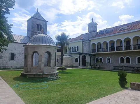
The very demanding one-way hiking trail from Danilovgrad to Katun Maganik is 38,7 km long, with 392 m of ascent and 1938 m of descent. The estimated time without breaks is 12 h 15 min, so it is recommended to plan it as a multi-day tour.
38.7 km392 m2–3 days
View trailTimes and grades are estimates. Conditions change: check the weather and local information before you set out. Map and data sources →
