Hiking trail no. 961 of the National Network of Mountain Trails, region Ljubišnja, Kričak, Lisa, Kovač, Kamena Gora, Bihor, (Đalovića Gorge), Krstača, Turjak.
Official hiking trail no. 961 from the Register of Mountain Trails of the Mountaineering Association of Montenegro: Bijelo Polje – Giljeva mountain. The route has not yet been mapped in the PSCG Register.
Hiking trail no. 961 is entered in the Register of Mountain Trails of the Mountaineering Association of Montenegro and belongs to the National Network of Mountain Trails, region IX – Ljubišnja, Kričak, Lisa, Kovač, Kamena Gora, Bihor, (Đalovića Gorge), Krstača, Turjak. Date of entry: 21.10.2026.
Itinerary according to the Register:
Places listed in parentheses in the Register itinerary are access points, starting points or notes for that point.
According to the Register (as of 19.11.2026), the trail has the status “Entered – incomplete entry” and is passable. Length, ascent, walking time and difficulty category have not yet been entered. The route has not yet been mapped in the PSCG Register, so we do not display it on the map.
Source: Register of Mountain Trails, Mountaineering Association of Montenegro (staze.me), as of 19.11.2026.
Places on this route
Before departure, check the trail status in the Register of Mountain Trails (staze.me) or with a local mountaineering club.
Use mountain trails at your own risk (warning from the Register of Mountain Trails). Emergencies: 112.
Emergency number in Montenegro: 112.
Good to know
Start
Bijelo Polje
Yes. Trail no. 961 is entered in the Register of Mountain Trails of the Mountaineering Association of Montenegro and belongs to the National Network of Mountain Trails, region Ljubišnja, Kričak, Lisa, Kovač, Kamena Gora, Bihor, (Đalovića Gorge), Krstača, Turjak.
The Register does not yet have a length or walking time entered for this trail (as of 19.11.2026).
According to the Register, the trail is passable (as of 19.11.2026).
Hiking · Bijelo Polje
Hiking · Bijelo Polje
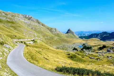
Cycling · Bijelo Polje · Durmitor National Park
Cycling · Bijelo Polje
Hiking · Bijelo Polje · Biogradska Gora National Park
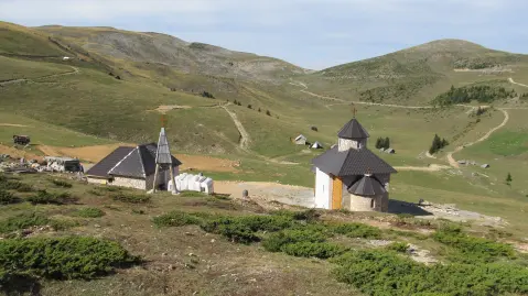
Cycling · Šiško Lake
Hiking · Bijelo Polje · Biogradska Gora National Park
Hiking · Šiško Lake
Times and grades are estimates. Conditions change: check the weather and local information before you set out. Map and data sources →

