Equipped tower-shaped rock, up to 20 m high, in the village of Povija near the Ostrog Monastery.
Equipped tower-shaped rock, up to 20 m high, in the village of Povija near the Ostrog Monastery.
According to montenegro.travel, in the village of Povija near the Ostrog Monastery there is an equipped tower-shaped rock, up to 20 m high, which can be climbed from all sides. Grades range from V+ to VIII+ (UIAA); sources differ on the number of routes (5 and 14 respectively).
The point on the map marks the village of Povija – check the exact location of the rock on site.
Sources: montenegro.travel – Sport climbing (https://www.montenegro.travel/me/istrazi-crnu-goru/priroda-i-avanturizam/sportsko-penjanje).
The information is approximate and intended for planning; the number and grades of routes change as climbing sites are equipped. Look for a current guidebook at local climbing clubs.
Places on this route
Emergency: 112.
Emergency number in Montenegro: 112.
Good to know
Best season
Spring and autumn.
Getting there
Village of Povija, Nikšić Municipality, near the Ostrog Monastery.
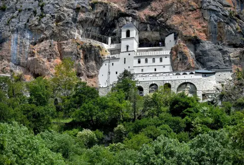
A one-way marked trail, 3.2 km long with 508 m of ascent. It leads from Ostrog railway station to the monastery, through mixed rocky and paved terrain.
3.2 km508 m2–2½ h
View trail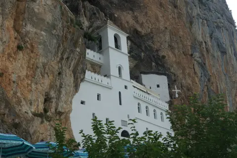
An easy one-way hiking trail connects the Lower and Upper Monastery Ostrog. The length is 2.7 km, with 150 m of ascent and an estimated 55 min of walking without breaks.
2.7 km150 m45–65 min
View trail
A demanding one-way cycling route 398,8 km long, with a total ascent of 9352 m. It passes through Biogradska Gora National Park and Durmitor National Park, past Bijelo Polje, Kolašin, Nikšić and Žabljak.
399 km9,352 m5–8 days
View trailThe hiking tour from Kuta to Torine Campsite is 16.4 km long and takes about 5 h 10 min without breaks. The ascent is 155 m and the descent is 780 m; the surface is a mix of asphalt/concrete (53%) and gravel track (47%), and the trail is marked.
16.4 km155 m4½–6 h
View trailThe hiking trail from Nikšić to Torine Campsite is 20.8 km long, with 848 m of ascent and 81 m of descent. Most of it is gravel, the trail is marked in green, and it is demanding due to its length and ascent.
20.8 km848 m5½–8 h
View trail
Top Biking Trail 4 – ENDLESS LANDSCAPES is a 413.5 km long, very demanding one-way cycling route. It passes through Durmitor National Park, past Žabljak, Kolašin, Podgorica and Danilovgrad, with 8,566 m of elevation gain.
413 km8,566 m5–8 days
View trail
Top Biking Trail 1 – SALTY AND SWEET is a very demanding one-way cycling route 406.3 km long. It passes by Perast and Dobrota and through Lovćen National Park and Durmitor National Park.
406 km10,191 m6–8 days
View trail
The very demanding one-way hiking trail from Danilovgrad to Katun Maganik is 38,7 km long, with 392 m of ascent and 1938 m of descent. The estimated time without breaks is 12 h 15 min, so it is recommended to plan it as a multi-day tour.
38.7 km392 m2–3 days
View trailTimes and grades are estimates. Conditions change: check the weather and local information before you set out. Map and data sources →
