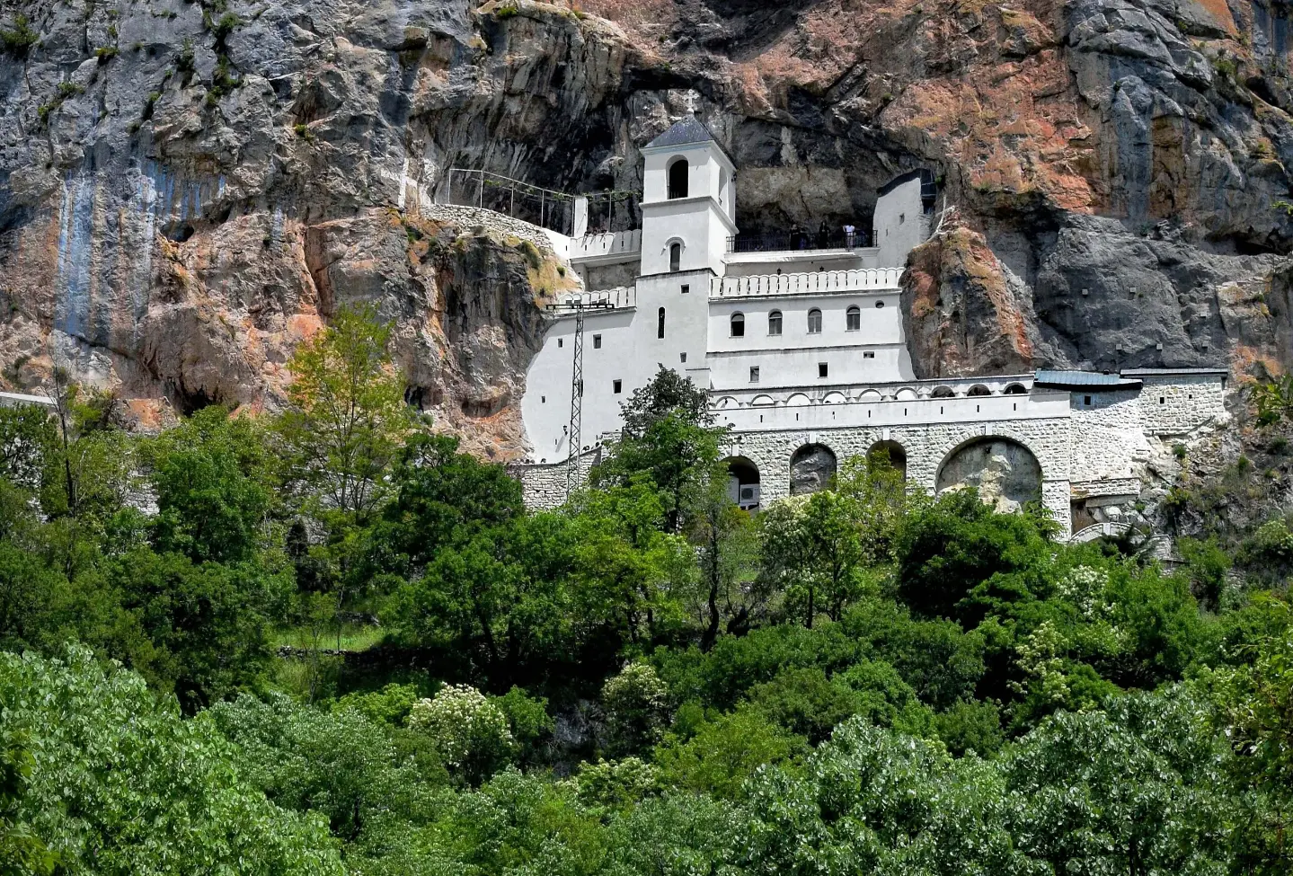
A short but ascent-rich marked trail from the railway station to the monastery.
A one-way marked trail, 3.2 km long with 508 m of ascent. It leads from Ostrog railway station to the monastery, through mixed rocky and paved terrain.
The trail Ostrog: railway station <-> monastery connects the starting car park at Ostrog railway station with the monastery. It is one-way and 3.2 km long, with a total ascent of 508 m. The lowest point is at 365 m a.s.l., and the highest at 885 m a.s.l.
The terrain is mixed: about half of the trail is rocky, 42 % is asphalt or concrete, and 9 % is gravel track. At 0.8 km from the start there is a campsite at 493 m a.s.l. Near the end of the trail, at 3.0–3.1 km, drinking water fountains are available (791–852 m a.s.l.). The trail is marked with red-and-white hiking markers.
Due to the continuous ascent and varied surface, the tour is of moderate difficulty. Allow approximately 2 hours and 5 minutes of walking without breaks. It is suitable for hikers and walkers with a basic level of fitness.
What this difficulty means
Longer or steeper sections and uneven ground. You need basic fitness, sturdy shoes and a little mountain experience.
Places on this route
Move along the profile to follow the route on the map; switch on 3D for the terrain.
↑ 508 m · ↓ 0 m · highest point 885 m
A car park is available at the very start of the trail (0.0 km).
At 0.8 km from the start there is a campsite at 493 m a.s.l.
Near the end of the trail, at 3.0–3.1 km, there are several drinking water fountains (791–852 m a.s.l.).
At the end of the trail, at 3.1 km, there is a car park.
Bring enough water, even though fountains are available near the end of the trail.
Wear shoes with good soles because of the rocky section of the trail.
Set off early, especially in the summer months, and check the weather forecast.
Plan for well over 2 hours and 5 minutes in total, as that estimate does not include breaks.
Follow the red-and-white markers and stay on the marked route.
The trail is marked, but be careful on the rocky sections, especially when wet. In the event of thunder, leave exposed sections immediately. The emergency number in Montenegro is 112.
Emergency number in Montenegro: 112.
Good to know
Best season
It is most suitable from spring to autumn, when temperatures are pleasant and the trail is dry. In winter, the upper section can be cold and slippery.
Getting there
The start of the trail is reached via the car park at 0.0 km; the end of the trail also has a car park at 3.1 km.
The trail is 3.2 km long and goes in one direction.
The estimated duration is 2 hours and 5 minutes of walking without breaks.
It is of moderate difficulty, with a total ascent of 508 m.
Yes, near the end of the trail (at 3.0–3.1 km) there are drinking water fountains.
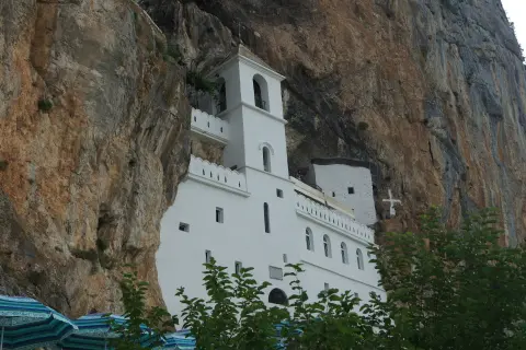
2.7 km↑ 150 m45–65 min

399 km↑ 9,352 m5–8 days
16.4 km↑ 155 m4½–6 h

406 km↑ 10,191 m6–8 days
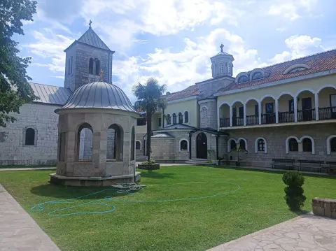
38.7 km↑ 392 m2–3 days

413 km↑ 8,566 m5–8 days
20.8 km↑ 848 m5½–8 h
Times and grades are estimates. Conditions change: check the weather and local information before you set out.

Ask about Montenegro
Ask me about destinations, restaurants or activities.
