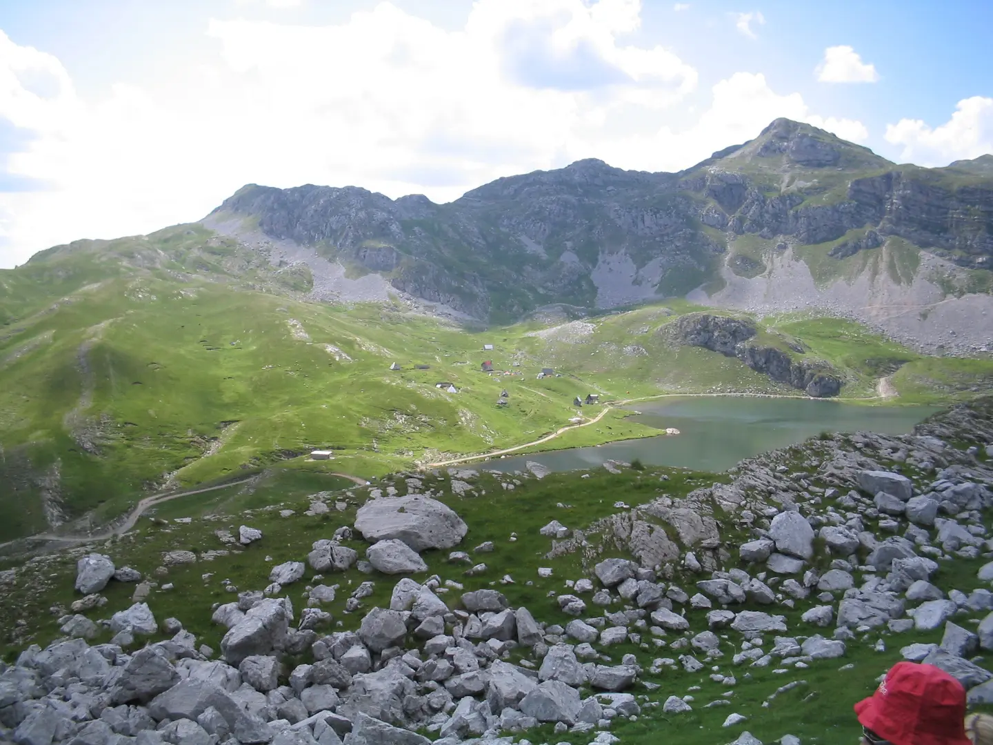
A short hiking trail from Kapetanovo jezero to the summit of Zagradac (Kapa Moračka) with a moderate ascent and varied terrain.
A one-way hiking trail from Kapetanovo jezero to the summit of Zagradac (Kapa Moračka), 5.9 km long with 532 m of ascent. It is of moderate difficulty (T2) and follows gravel road, dirt/forest path, and a short section of asphalt.
The Kapetanovo Jezero – Zagradac trail is 5.9 km long and runs in one direction. It covers 532 m of ascent and 51 m of descent. The lowest point is at 1,682 m a.s.l., and the highest at 2,169 m a.s.l.. The estimated walking time without breaks is 2 h 35 min.
The trail runs mostly on gravel road (60 %), then on dirt or forest path (29 %), and briefly on asphalt/concrete (7 %). The trail is marked with green waymarks and is of moderate difficulty (SAC T2).
The starting point is near Kapetanovo jezero (about 0.3 km from the trailhead). Manito jezero is also nearby (about 1.0 km from the trail). At the very start there is a drinking water fountain and a campsite, while parking is available 0.1 km and 0.3 km from the trailhead.
At the end of the trail is the summit Zagradac (Kapa Moračka) at 2,217 m a.s.l.. The trail is suitable for hikers with a basic level of fitness; plan for the return journey or transport, as the end point is not the same as the starting point.
What this difficulty means
Longer or steeper sections and uneven ground. You need basic fitness, sturdy shoes and a little mountain experience.
Mountain hiking grade SAC T2 (scale T1–T6).
Places on this route
Move along the profile to follow the route on the map; switch on 3D for the terrain.
↑ 532 m · ↓ 51 m · highest point 2,169 m
Along the way
The starting point is about 0.3 km from the trailhead.
Located about 1.0 km from the trail.
At the very beginning of the trail, at 1,689 m a.s.l.
The trail's destination at 2,217 m a.s.l., 5.9 km from the start.
Wear hiking boots with good grip due to the gravel road and dirt/forest path.
Bring enough water; a drinking water fountain is available at the very start of the trail.
Bring layered clothing and protection from sun and wind, as the trail goes above 1,680 m a.s.l.
Check the weather forecast before setting off; mountain weather can change quickly.
Set off early and plan for the return journey or transport, as the trail is not a loop.
Tell someone where you are going; mobile signal may be weak in mountain areas.
The trail reaches 2,169 m a.s.l.; sudden weather changes, fog, and thunderstorms are possible. Check the weather forecast and in an emergency call 112.
Emergency number in Montenegro: 112.
Good to know
Best season
Due to the altitude, it is most suitable from late spring to early autumn. In summer, set off earlier; in winter and spring, expect snow and ice.
Getting there
The trailhead is near Kapetanovo jezero, about 0.3 km from the lake. Parking is available 0.1 km and 0.3 km from the trailhead.
The trail is 5.9 km long and runs in one direction.
The walk without breaks lasts about 2 h 35 min.
The trail is of moderate difficulty, according to the SAC scale T2.
Yes, the trail is marked with green markings.
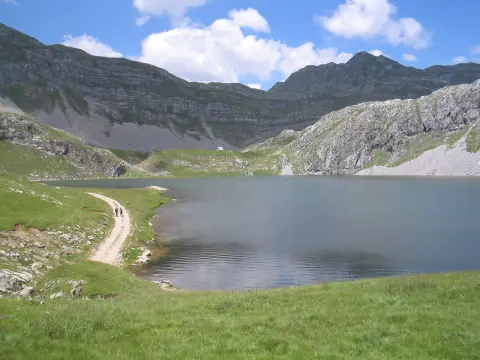
1.4 km↑ 138 m40–55 min
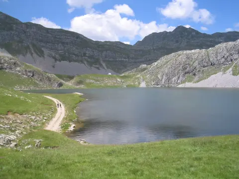
7.3 km↑ 207 m2–3 h
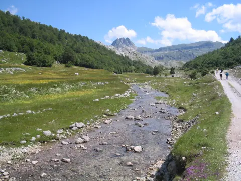
8.0 km↑ 290 m2–3 h
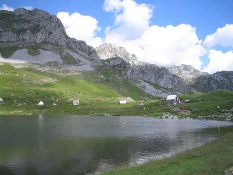
8.5 km↑ 883 m3½–5 h
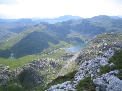
6.0 km↑ 449 m2½–3½ h
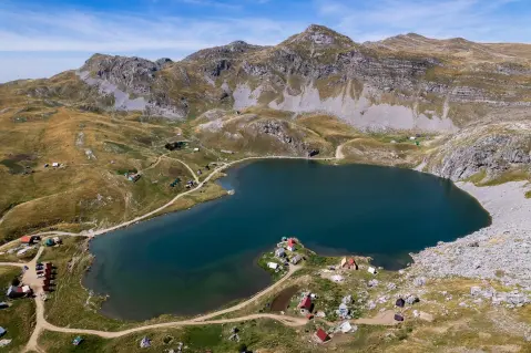
12.7 km↑ 1,471 m6–8½ h
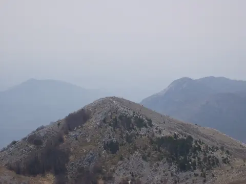
10.3 km↑ 673 m4–5½ h
10.5 km↑ 415 m3½–4½ h
Times and grades are estimates. Conditions change: check the weather and local information before you set out.

Ask about Montenegro
Ask me about destinations, restaurants or activities.
