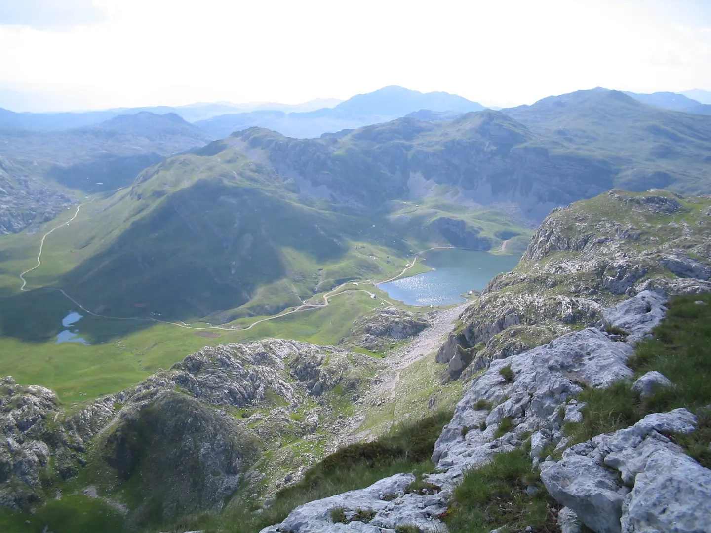
A demanding mountain tour over rocky terrain past Stožac Peak and Manito Lake.
A demanding mountain trail 6,0 km long with an ascent of 449 m. It leads over rocky terrain past Stožac Peak (2141 m a.s.l.) and past Manito Lake, and the route is not circular.
The Orlovac Loop Trail starts about 0,7 km from Kapetanovo Lake. Although the name mentions “Loop”, the route is not circular – the start and end are not in the same place. The length is 6,0 km, and the total ascent is 449 m, with a descent of 438 m. The lowest point is at 1761 m a.s.l., and the highest at 2097 m a.s.l.
The terrain is predominantly rocky (91 %), while only 9 % is a dirt or forest trail. The trail is marked in black, but according to existing information the path is partly unclear and requires good orientation. Near the route, 2,7 km from the start, is Stožac Peak at 2141 m a.s.l. The route passes Manito Lake, about 0,2 km from the trail.
Two springs are recorded along the route: at 4,1 km a spring at 1855 m a.s.l. and at 5,6 km a spring at 1821 m a.s.l. Due to the altitude and rocky terrain, the tour is very demanding and intended for experienced hikers. The estimated duration without breaks is 3 h 5 min.
What this difficulty means
Very long or alpine terrain where hands may be needed, with few ways out. Only for experienced mountaineers in stable weather.
Mountain hiking grade SAC T4 (scale T1–T6).
Places on this route
Move along the profile to follow the route on the map; switch on 3D for the terrain.
↑ 449 m · ↓ 438 m · highest point 2,097 m
Along the way
The peak at 2141 m a.s.l. is located 2,7 km from the start of the trail, near the route.
The trail passes by Manito Lake, about 0,2 km from the route.
At 4,1 km a spring at 1855 m a.s.l., and at 5,6 km a spring at 1821 m a.s.l.
The closest place to the start of the trail, about 0,7 km away.
Wear sturdy hiking boots with good soles – rocky terrain makes up 91 % of the trail.
Bring enough water; there are two springs along the route, but it is not guaranteed that they are always accessible.
Start early in the morning, especially in summer, because the tour lasts about 3 h 5 min without breaks.
Check the weather forecast before setting off; at altitudes above 2000 m the weather changes quickly.
The trail is one-way – plan your return or transport from the end point in advance.
Although the trail is marked in black, the path is not clear; bring a GPS device or offline map.
The trail is very demanding (SAC T4) and leads over rocky terrain at altitudes up to 2097 m a.s.l. Fog and thunderstorms can develop quickly, so monitor weather conditions. In case of an accident, call emergency number 112.
Emergency number in Montenegro: 112.
Good to know
Best season
Due to the altitude from 1761 m to 2097 m, the most reliable period for the crossing is from June to September. In other months, snow, ice and reduced trail passability are possible.
Getting there
The start of the trail is about 0,7 km from Kapetanovo Lake. Plan to arrive at Kapetanovo Lake, then walk to the start.
The length of the trail is 6,0 km.
Estimated duration without breaks is 3 h 5 min.
The trail is very demanding for experienced mountaineers and carries an SAC rating of T4.
The trail is marked in black, but according to available data the route is not clear and requires good orientation.
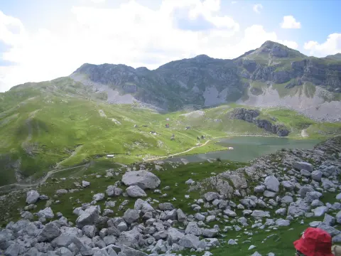
5.9 km↑ 532 m2–3 h
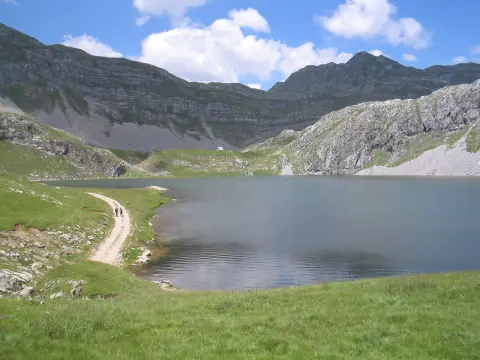
1.4 km↑ 138 m40–55 min
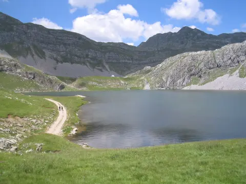
7.3 km↑ 207 m2–3 h
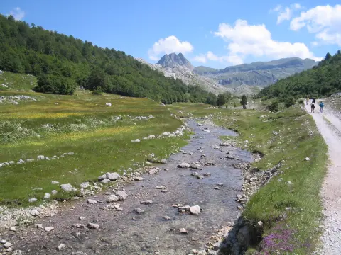
8.0 km↑ 290 m2–3 h
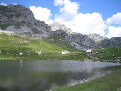
8.5 km↑ 883 m3½–5 h
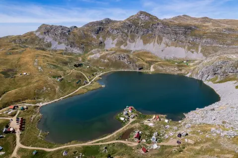
12.7 km↑ 1,471 m6–8½ h
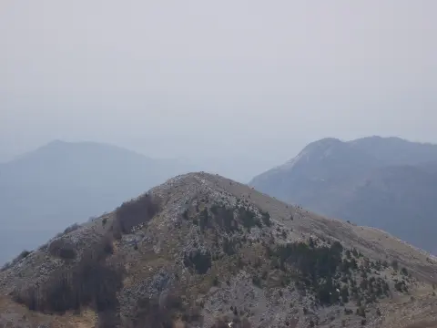
10.3 km↑ 673 m4–5½ h
10.5 km↑ 415 m3½–4½ h
Times and grades are estimates. Conditions change: check the weather and local information before you set out.

Ask about Montenegro
Ask me about destinations, restaurants or activities.
