One-way hiking tour through rocky mountain terrain, 10,5 km long.
Demanding one-way hiking trail, 10,5 km long, with an ascent of 415 m and a descent of 593 m. Estimated duration without breaks is 3 h 55 min. The trail is marked in black and intended for experienced hikers.
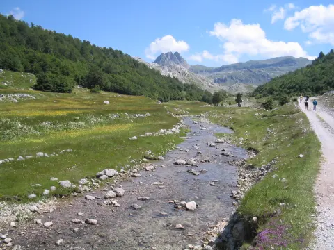
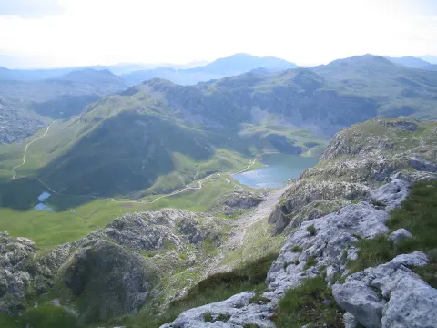
The Abandoned Settlement Trail leads one-way through mountain terrain. The start is about 1,9 km from Kapetanovo Lake. The length is 10,5 km, with a total ascent of 415 m and a descent of 593 m. The lowest point is at 1433 m a.s.l., the highest at 1849 m a.s.l.
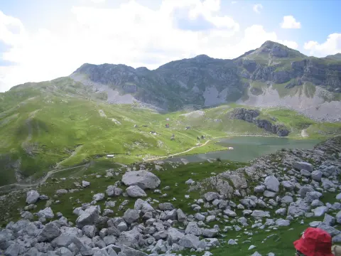
The surface is predominantly rocky (87 %), with a smaller part made up of gravel (11 %). The trail is marked in black. Due to the rocky terrain and elevation difference, experience is required. Estimated duration without breaks is 3 h 55 min; the trail is one-way, so you should plan transport or a return.
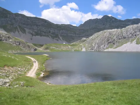
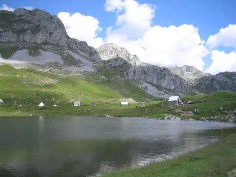
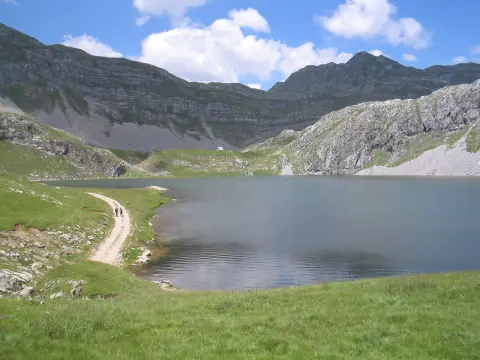
Along the route there is a camp at 10,4 km from the start (1439 m a.s.l.) and a car park at 10,5 km. Nearby are Kapetanovo Lake and Manito Lake. The trail is for experienced hikers, technically demanding (SAC T5).
What this difficulty means
Very long or alpine terrain where hands may be needed, with few ways out. Only for experienced mountaineers in stable weather.
Mountain hiking grade SAC T5 (scale T1–T6).
Places on this route
Move along the profile to follow the route on the map; switch on 3D for the terrain.
↑ 415 m · ↓ 593 m · highest point 1,849 m
The nearest place to the start of the trail, about 1,9 km away.
Near the trail, about 2,7 km from the route.
Point of interest at 10,4 km from the start of the trail.
Located at 10,5 km from the start, at the end of the tour.
Bring enough water for the entire tour.
Wear hiking boots with a good sole because of the rocky terrain.
Start this earlier in the morning; the duration of 3 h 55 min is without breaks, and with breaks you need more time.
Check the weather forecast; at an altitude of 1433 to 1849 m, the weather changes quickly.
The trail is very demanding and intended for experienced hikers; it is not suitable for beginners.
Mountain conditions at an altitude of 1433 to 1849 m can be harsh. Fog and thunderstorms are common; follow the weather forecast. In case of an accident, call 112.
Emergency number in Montenegro: 112.
Good to know
Best season
Due to the altitude of 1433 to 1849 m, it is most reliable to plan this in the summer months and early autumn, when the trails are usually more passable.
Getting there
The start of the trail is about 1,9 km from Kapetanovo Lake. At the end of the trail, at 10,5 km, there is a car park.
The trail is 10,5 km long and leads in one direction.
Estimated duration without breaks is 3 h 55 min.
The trail is very demanding, for experienced hikers, according to the SAC scale T5.
Yes, the trail is marked in black.
8.0 km↑ 290 m2–3 h
7.3 km↑ 207 m2–3 h
5.9 km↑ 532 m2–3 h
8.5 km↑ 883 m3½–5 h
1.4 km↑ 138 m40–55 min
4.2 km↑ 250 m1½–2 h
6.0 km↑ 449 m2½–3½ h
1.9 km↑ 70 m50–70 min
Times and grades are estimates. Conditions change: check the weather and local information before you set out.

Ask about Montenegro
Ask me about destinations, restaurants or activities.
