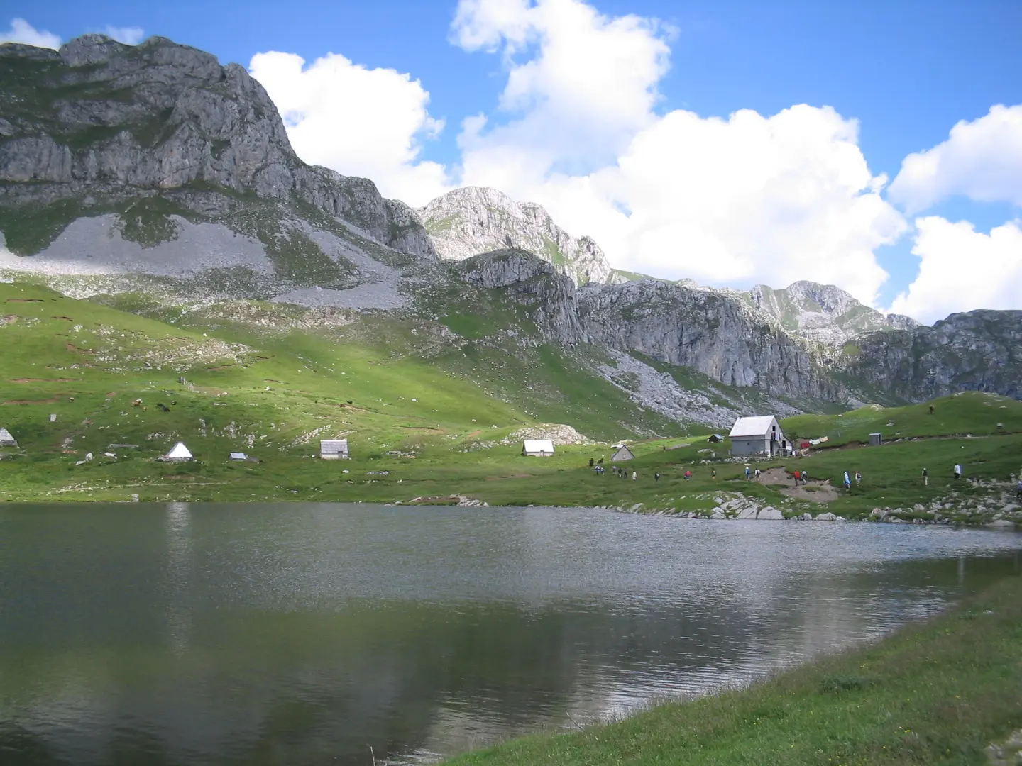
A demanding one-way hiking trail with green trail markers, waterfalls, and Kapetanovo jezero.
A demanding one-way trail, 8.5 km long, with 883 m of ascent and green trail markers. It leads from Velje Duboko to Kapetanovo jezero, past a viewpoint and two waterfalls.
The Velje Duboko – Kapetanovo jezero trail is a one-way hiking tour, 8.5 km in length. The estimated duration without breaks is approximately 4 hours. The total ascent is 883 m, and the descent is just 7 m. The lowest point is at 814 m a.s.l., and the highest at 1,691 m a.s.l.
The trail is marked with green trail markers. The surface consists mostly of gravel road (83%), followed by asphalt or concrete (11%) and dirt/forest path (6%). In terms of difficulty, it is demanding, rated T2 on the SAC hiking scale.
At the start, after just 0.6 km, there is a viewpoint at 870 m a.s.l. At 2.9 km there is a spring at 1,088 m a.s.l., and at 6.1 km a drinking fountain at 1,512 m a.s.l. In the final section, the trail passes by the Vrela waterfall (7.6 km, 1,574 m a.s.l.) and the Lukavica waterfall (7.7 km, 1,624 m a.s.l.).
At the end of the tour, at 8.5 km, there is a drinking fountain, a campsite, and a parking area. The tour is intended for hikers with good fitness and basic hiking experience, due to the elevation gain and length.
What this difficulty means
Steep, rocky or exposed passages and a long day out. For fit, sure-footed hikers with mountain experience.
Mountain hiking grade SAC T2 (scale T1–T6).
Places on this route
Move along the profile to follow the route on the map; switch on 3D for the terrain.
↑ 883 m · ↓ 7 m · highest point 1,691 m
Along the way
The viewpoint at 870 m a.s.l. is located 0.6 km from the start of the trail.
At 7.6 km from the start, at 1,574 m a.s.l., the trail passes by the Vrela waterfall.
At 7.7 km from the start, at 1,624 m a.s.l., the trail passes by the Lukavica waterfall.
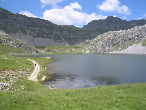
The trail passes by Kapetanovo jezero, approximately 0.3 km from the shoreline itself.
Bring enough water; a spring and drinking fountains are marked along the trail, but always check the water condition.
Wear good hiking boots due to the length of the tour and the elevation gain.
Since the trail is one-way, arrange transportation from the endpoint in advance.
Set off early; the estimated duration without breaks is approximately 4 hours, and with breaks it can be considerably longer.
Check the weather forecast before departure, as the trail climbs to 1,691 m a.s.l.
The trail is demanding and leads to an altitude of up to 1,691 m a.s.l. Check the weather forecast, especially for fog and thunderstorms. In case of an emergency, call 112.
Emergency number in Montenegro: 112.
Good to know
Best season
The best period for this tour is from late spring to early autumn, when the trails are dry and the days are longer. During the transitional months, there may be snow or mud at higher elevations.
Getting there
The starting point is in the Velje Duboko area. The nearest place to the start of the trail is Manito jezero, approximately 4.4 km away.
The trail is 8.5 km long and goes in one direction.
The estimated duration without breaks is approximately 4 hours.
The trail is demanding, and according to the SAC hiking scale it is rated T2.
Yes, the trail is marked with green markings.
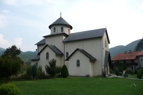
26.8 km↑ 1,160 m9–12½ h
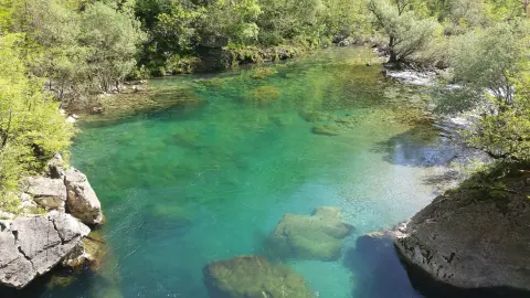
12.1 km↑ 976 m4½–6½ h
9.8 km↑ 1,370 m6–8½ h
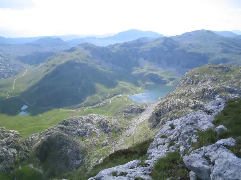
6.0 km↑ 449 m2½–3½ h
10.3 km↑ 673 m4–5½ h
1.4 km↑ 138 m40–55 min
2.7 km↑ 444 m1½–2½ h
6.4 km↑ 725 m4–5½ h
LoopTimes and grades are estimates. Conditions change: check the weather and local information before you set out.

Ask about Montenegro
Ask me about destinations, restaurants or activities.
