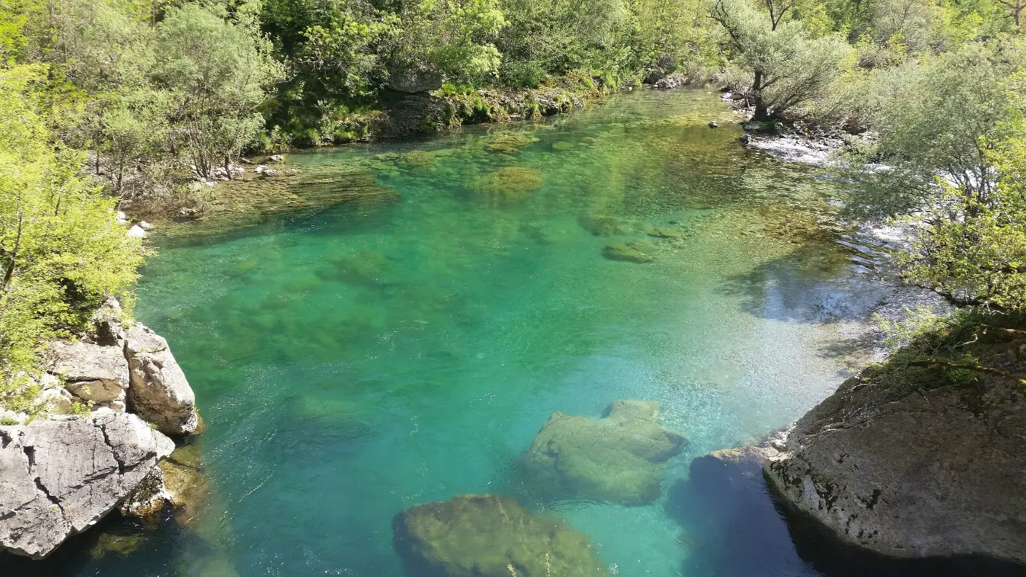
A demanding one-way hiking trail with a viewpoint, waterfalls, and a spring.
Danielov put is a demanding one-way hiking trail: 12.1 km, 976 m of ascent and 395 m of descent, with an estimated duration of 5 h 35 min. The trail is marked and leads past a viewpoint, waterfalls, and a spring.
Danielov put is a demanding one-way hiking trail, 12.1 km long. The start and end are not at the same location, and the trail runs between 195 m and 873 m above sea level. The total ascent is 976 m and the total descent is 395 m. The estimated walking time without breaks is 5 h 35 min.
The trail is marked with red-and-white hiking markers. The surface is varied: earth and forest path makes up 61%, rocky terrain 25%, and gravel road 14%. The route is rated T3 on the SAC scale, meaning that a sure footing and hiking experience are required.
At 0.4 km from the start there is a viewpoint at 199 m above sea level, and at 0.5 km a waterfall at 203 m above sea level. Between 3.9 km and 4.2 km the trail passes waterfalls at 374 m and 376 m above sea level and the Bijeli Nerini spring at 262 m above sea level. Near the trail are Manito jezero (around 4.4 km) and Kapetanovo jezero (around 5.7 km).
The trail is suitable for hikers with good fitness and experience on more demanding terrain. Due to its length, ascent, and mixed surface, it is necessary to plan sufficient time and equipment.
What this difficulty means
Steep, rocky or exposed passages and a long day out. For fit, sure-footed hikers with mountain experience.
Mountain hiking grade SAC T3 (scale T1–T6).
Places on this route
Move along the profile to follow the route on the map; switch on 3D for the terrain.
↑ 976 m · ↓ 395 m · highest point 873 m
Along the way
Located 0.4 km from the start of the trail.
Located 0.5 km from the start of the trail.
Located 3.9 km from the start of the trail.
Located 4.2 km from the start of the trail.
Located 4.2 km from the start, at 262 m above sea level.
The trail is demanding: prepare yourself for 12.1 km and 976 m of ascent.
Wear sturdy hiking boots due to the rocky terrain and gravel road.
Bring enough water and food for the entire trail.
Set off early, as the estimated walking time without breaks is 5 h 35 min.
The trail is one-way, so plan your return or transport in advance.
Check the weather forecast and avoid the trail during thunderstorms.
The trail is demanding and passes over rocky sections. In fog or thunderstorms, stop moving and shelter away from exposed positions. In case of emergency, call 112.
Emergency number in Montenegro: 112.
Good to know
Best season
The best period for the trail is from late spring to early autumn, when the paths are drier and visibility is more stable. In winter and after heavy rain, the rocky and earthen sections can be slippery.
Getting there
There is a parking area 0.3 km from the start of the trail.
The trail is 12.1 km long.
The estimated duration without breaks is 5 h 35 min.
It is rated as demanding, according to the SAC scale T3.
Yes, the trail is marked with red-and-white hiking markers.
Hiking
Hiking
Hiking
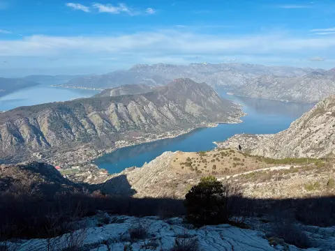
Cycling · Španjola Fortress · Lovćen National Park
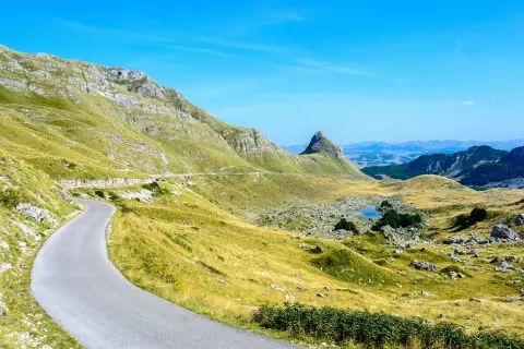
Cycling · Bijelo Polje · Durmitor National Park
Hiking
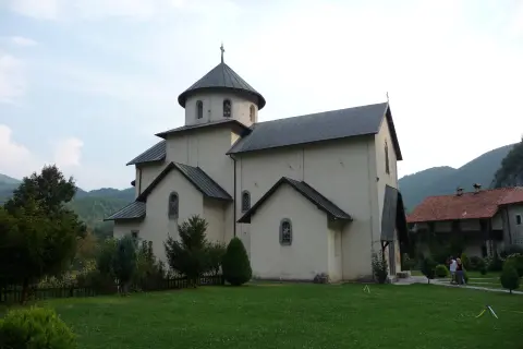
Hiking · Manito Lake
Hiking
Times and grades are estimates. Conditions change: check the weather and local information before you set out. Map and data sources →

