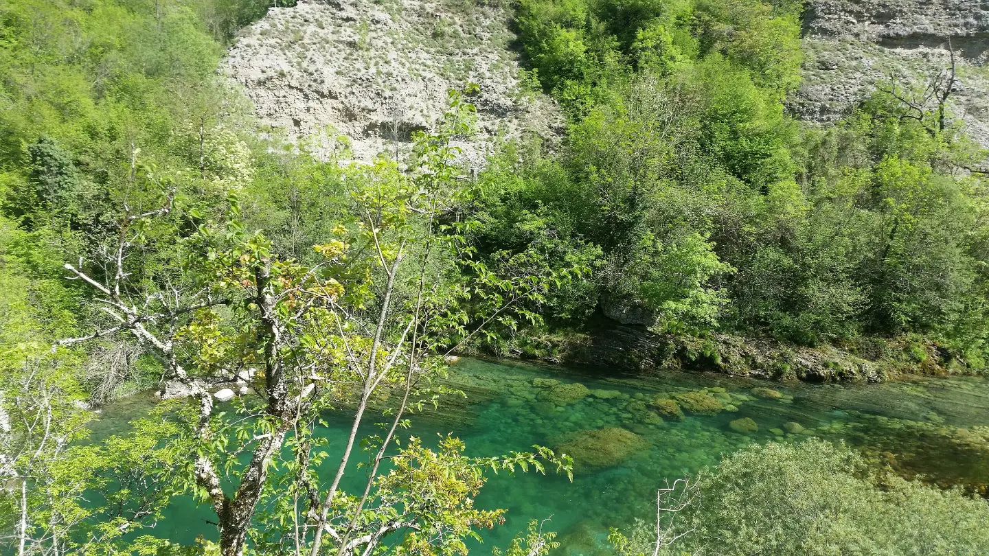
A short, marked hiking trail with an ascent of 48 m leads to the mountain hut and camp.
A short hiking trail of 0.9 km with a moderate ascent of 48 m. It is marked and leads partly along asphalt and partly along an earth path; along the way there is a mountain hut and camp.
This short hiking tour is 0.9 km long and takes about 20 minutes without breaks. The trail is one-way and climbs gently: the total ascent is 48 m, and the descent only 5 m. The lowest point is at 184 m a.s.l., and the highest at 237 m a.s.l.
The surface is predominantly asphalt or concrete (81%), with a smaller section along an earth or forest path (19%). The trail is marked with red-and-white waymarkers. The difficulty is moderate, according to the SAC hiking scale T2, so there are no particularly demanding sections.
At 0.1 km from the start there is a parking area. At 0.5 km from the start is the mountain hut, or shelter, at 197 m a.s.l. Then at 0.6 km you reach the camp at 206 m a.s.l. and the camp 'Kamp Wesko' at 205 m a.s.l. At the end of the trail, at 0.9 km, there is a parking area. The trail is suitable for a short excursion.
What this difficulty means
Longer or steeper sections and uneven ground. You need basic fitness, sturdy shoes and a little mountain experience.
Mountain hiking grade SAC T2 (scale T1–T6).
Move along the profile to follow the route on the map; switch on 3D for the terrain.
↑ 48 m · ↓ 5 m · highest point 237 m
Located 0.5 km from the start of the trail, at 197 m a.s.l.
At 0.6 km from the start there is a camp at 206 m a.s.l. and the camp 'Kamp Wesko' at 205 m a.s.l.
One parking area is at 0.1 km from the start, and another at 0.9 km, at the end of the trail.
Wear comfortable walking shoes, especially for the earth path section.
Bring enough water, even though the trail is short.
Check the weather forecast before setting out.
Stay on the marked trail.
Allow for the 48 m ascent; walk at a pace that suits you.
The trail is short and at a low elevation, but weather conditions can change quickly. In fog or thunderstorms, postpone your outing. For emergencies, call 112.
Emergency number in Montenegro: 112.
Good to know
Best season
The trail is situated at a low elevation (184–237 m), making it suitable for most of the year. In summer it is better to set out early in the morning or in the late afternoon.
Getting there
A parking area is located 0.1 km from the start of the trail. A second parking area is at the end of the trail, at 0.9 km.
The trail is 0.9 km long and is one-way.
The estimated duration without breaks is 20 minutes.
The difficulty is moderate, according to the SAC hiking scale T2.
Yes, the trail is marked with red-and-white markings.
18.2 km↑ 1,233 m6½–9 h
12.1 km↑ 976 m4½–6½ h
13.0 km↑ 25 m4–5½ h

406 km↑ 10,191 m6–8 days

399 km↑ 9,352 m5–8 days
44.2 km↑ 463 m2–3 days
26.8 km↑ 1,160 m9–12½ h
2.7 km↑ 444 m1½–2½ h
Times and grades are estimates. Conditions change: check the weather and local information before you set out.

Ask about Montenegro
Ask me about destinations, restaurants or activities.
