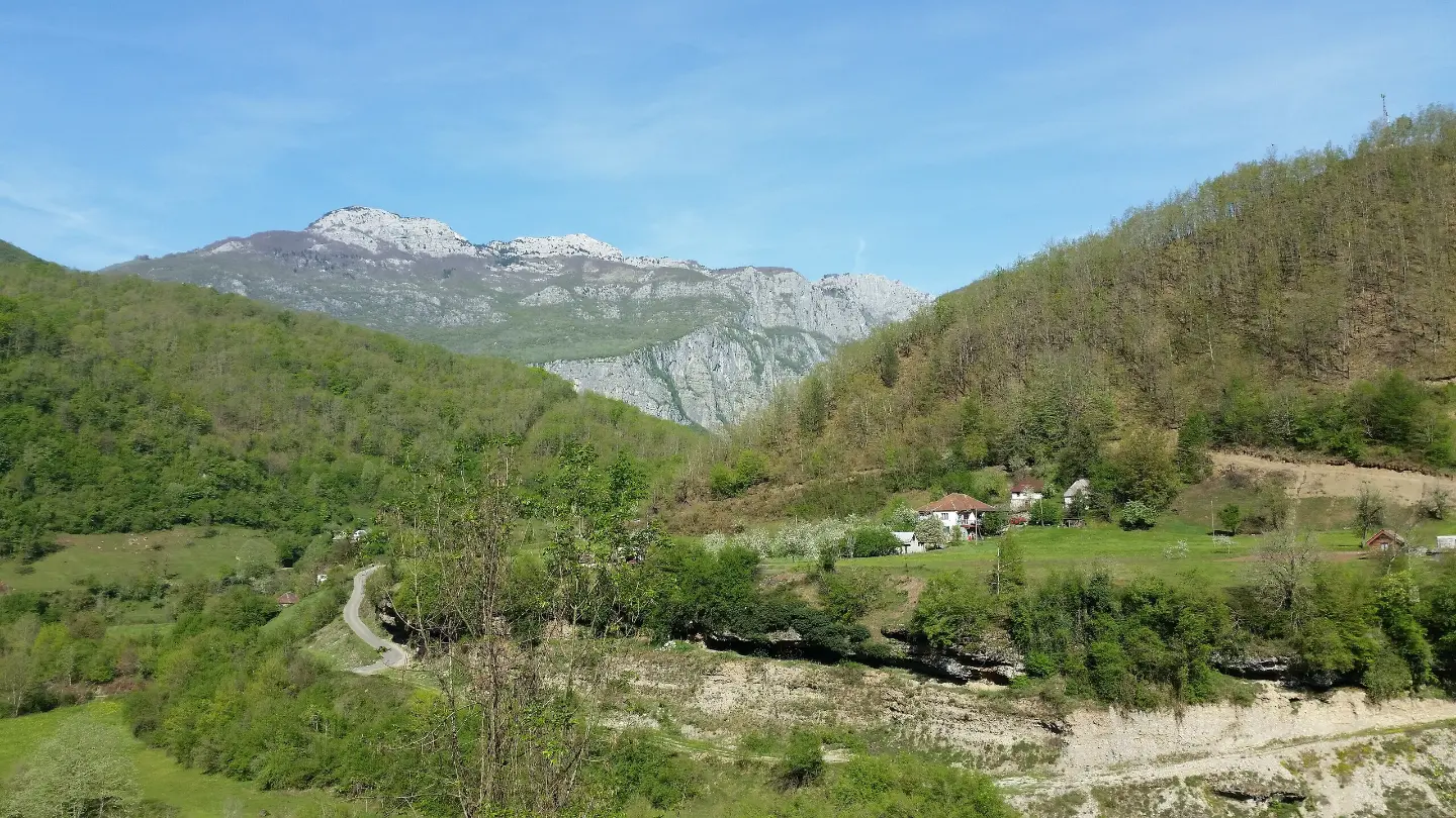
A demanding hiking tour of 18.2 km with an ascent of 1,233 m and the peaks Sijevik and Papratnjak.
The hiking trail from Kruševački Potok to Međuriječje is 18.2 km long with a total ascent of 1,233 m. It is intended for experienced hikers and passes near the peaks Sijevik (1,147 m) and Papratnjak (1,062 m), a spring, and a viewpoint.
The Kruševački Potok – Međuriječje trail is a one-way hiking tour, 18.2 km long with a total ascent of 1,233 m and a descent of 604 m. It starts at 183 m a.s.l. and climbs to the highest point at 1,199 m a.s.l. The estimated walking time without breaks is 7 hours and 35 minutes. The trail is very demanding and intended for experienced hikers (SAC T3).
The terrain is varied: gravel road dominates (64%), followed by asphalt and concrete (24%), rocky terrain (7%), and dirt/forest path (5%). The trail is marked with green waymarks.
At 0.4 km from the start is the campsite Kamp Kod Pera (250 m a.s.l.). At 2.3 km from the start there is a viewpoint at 231 m a.s.l. Further along, the trail passes near the peaks Sijevik (1,147 m a.s.l., at 14.5 km) and Papratnjak (1,062 m a.s.l., at 15.7 km). Near the end, at 18.2 km, there is a spring at 815 m a.s.l.
Due to the length, ascent, and demanding terrain, the trail is suitable for experienced hikers. Good physical preparation and hiking equipment are recommended.
What this difficulty means
Very long or alpine terrain where hands may be needed, with few ways out. Only for experienced mountaineers in stable weather.
Mountain hiking grade SAC T3 (scale T1–T6).
Move along the profile to follow the route on the map; switch on 3D for the terrain.
↑ 1,233 m · ↓ 604 m · highest point 1,199 m
Along the way
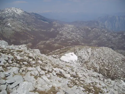
Located at 2.3 km from the start of the trail; a brief point with a view of the surrounding terrain.
A peak at 14.5 km from the starting point, right alongside the trail.
A peak at 15.7 km from the starting point, further along the trail.
The spring is located at 18.2 km from the start, near the end of the trail.
Bring enough water for the whole day; the spring is only found near the end of the trail (18.2 km).
Use hiking boots due to the rocky and forest terrain.
Set out early in the morning; the estimated duration without breaks is 7 hours and 35 minutes, and the trail is one-way.
Check the weather forecast and watch the clouds; weather can change quickly in the mountains.
Bring a map or GPS device, especially for sections through the forest and on gravel roads.
Dress in layers and bring a windproof jacket, as the trail climbs to 1,199 m a.s.l.
In mountain conditions, fog, rain, and thunderstorms may occur. Monitor the weather forecast and do not set out if a storm is expected. In case of an accident, call 112.
Emergency number in Montenegro: 112.
Good to know
Best season
The best time to visit is from late spring to early autumn, when the trails are dry and passable. At higher elevations (up to 1,199 m a.s.l.) there may be snow and ice in winter.
Getting there
The trail starts at Kruševački Potok, where there is a car park (0.0 km). Additional parking is available at 0.4 km from the start.
The trail is 18.2 km long and leads in one direction.
The estimated walking time without breaks is 7 hours and 35 minutes.
The trail is very demanding, intended for experienced hikers (SAC scale T3).
Yes, the trail is marked with green markings.
0.9 km↑ 48 m15–25 min
12.1 km↑ 976 m4½–6½ h
13.0 km↑ 25 m4–5½ h

406 km↑ 10,191 m6–8 days

399 km↑ 9,352 m5–8 days
44.2 km↑ 463 m2–3 days
26.8 km↑ 1,160 m9–12½ h
2.7 km↑ 444 m1½–2½ h
Times and grades are estimates. Conditions change: check the weather and local information before you set out.

Ask about Montenegro
Ask me about destinations, restaurants or activities.
