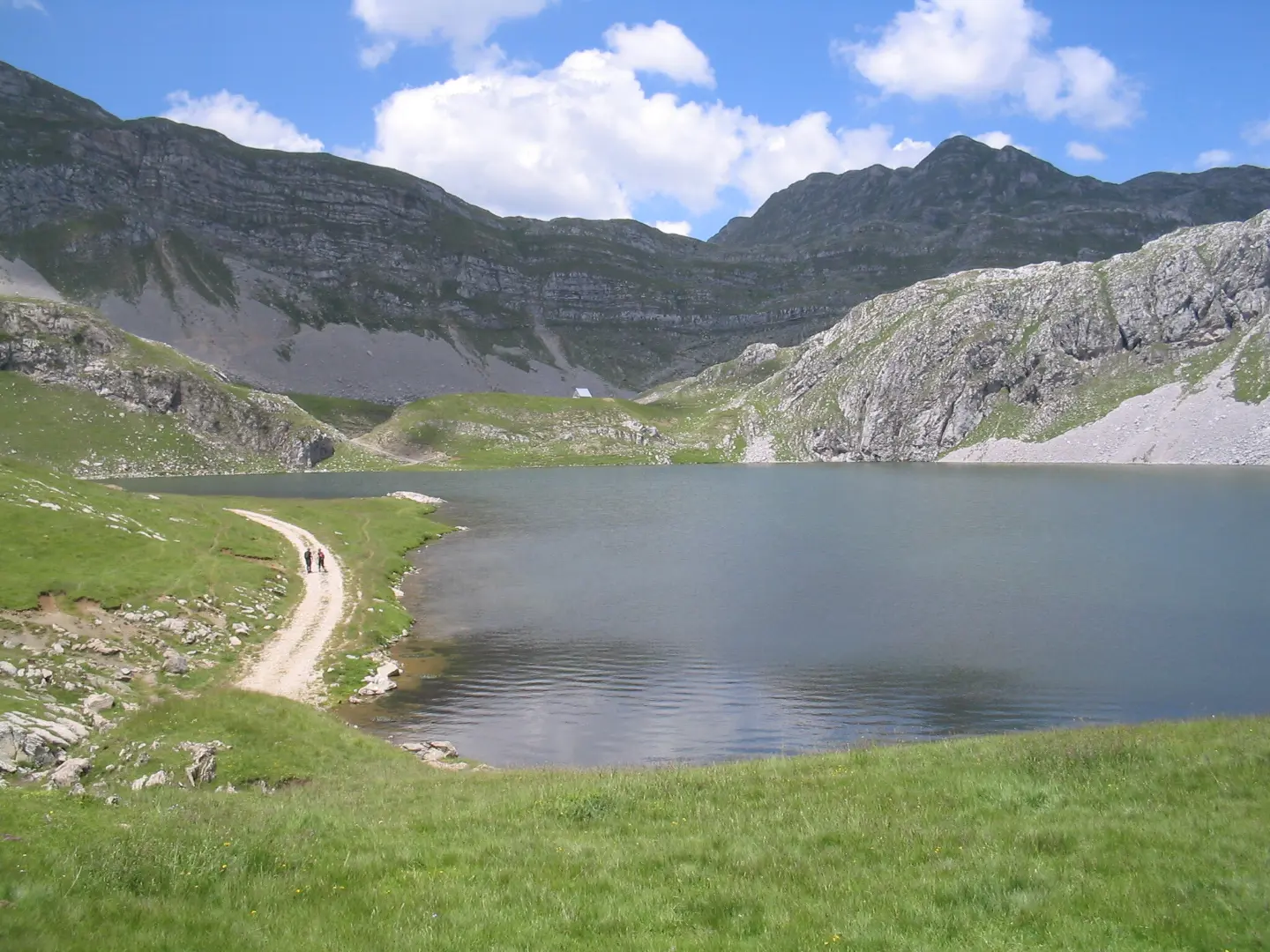
Hiking tour from Kapetanovo Lake to Zagradački katun: 7.3 km, ascent 207 m, marked trail.
The hiking trail from Kapetanovo Lake to Zagradački katun is 7.3 km long, with a total ascent of 207 m and descent of 168 m. Estimated duration without breaks is 2 h 20 min, and the difficulty is moderate.
The trail connects the area of Kapetanovo Lake with Zagradački katun. It is 7.3 km long and leads in one direction. The lowest point is at 1496 m a.s.l., and the highest at 1690 m a.s.l. Total ascent is 207 m, and total descent is 168 m. Estimated duration without breaks is 2 h 20 min.
Trail course. The trail is marked. The surface is mixed: asphalt/concrete 60%, macadam 28%, and earth/forest path 12%. At 5.0 km from the start, there is the spring “Babino Sicalo” at 1600 m a.s.l. Near the route, about 0.8 km from the trail, is Manito Lake.
Who it is for. The difficulty is moderate, according to the hiking scale T2. The trail is suitable for hikers with basic fitness and for those who want a shorter, not too demanding hiking tour.
At the end point of the trail there are a drinking water fountain at 1689 m a.s.l., a camp at 1684 m a.s.l., and parking spaces.
What this difficulty means
Longer or steeper sections and uneven ground. You need basic fitness, sturdy shoes and a little mountain experience.
Mountain hiking grade SAC T2 (scale T1–T6).
Places on this route
Move along the profile to follow the route on the map; switch on 3D for the terrain.
↑ 207 m · ↓ 168 m · highest point 1,690 m
Along the way
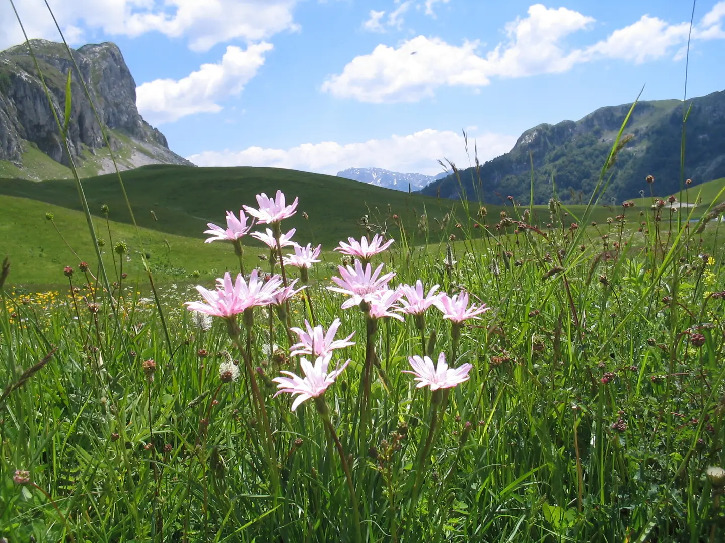
The nearest place to the trail start, about 3.6 km from the start.
It is about 0.8 km from the trail, near the route.
It is at 1600 m a.s.l., 5.0 km from the start of the trail.
At 7.3 km from the start, at 1689 m a.s.l., at the end point of the trail.
At the end of the trail, 7.2–7.3 km from the start, there are a camp and parking spaces.
Bring enough water; at 5.0 km there is the spring “Babino Sicalo”, and at the end of the trail a drinking water fountain.
Wear hiking footwear because part of the trail leads on earth/forest surface, and the larger part on asphalt and macadam.
Dress in layers and bring wind and rain protection; the trail is at 1496–1690 m a.s.l.
Start earlier, especially in summer; estimated duration without breaks is 2 h 20 min.
Check the weather forecast before departure; at this altitude, fog can reduce visibility.
The trail reaches up to 1690 m a.s.l., so the weather can change quickly. In fog or thunderstorms, stop the ascent and take shelter in a safe place. In case of emergency, call 112.
Emergency number in Montenegro: 112.
Good to know
Best season
The best period is from late spring to early autumn, when the trails are dry and passable. At an altitude of 1496 to 1690 m a.s.l., one should also expect changeable weather conditions.
Getting there
The nearest place to the trail start is Kapetanovo Lake, about 3.6 km from the start. At the end point, Zagradački katun, there are a camp and parking spaces.
The trail is 7.3 km long and leads in one direction.
The estimated duration without breaks is 2 h 20 min. With breaks, you should plan for more time.
The difficulty is moderate, according to the SAC hiking scale T2.
Yes, the trail is marked with green markings.
4.2 km↑ 250 m1½–2 h
1.9 km↑ 70 m50–70 min
8.0 km↑ 290 m2–3 h
10.5 km↑ 415 m3½–4½ h
20.8 km↑ 848 m5½–8 h

413 km↑ 8,566 m5–8 days
16.4 km↑ 155 m4½–6 h
5.9 km↑ 532 m2–3 h
Times and grades are estimates. Conditions change: check the weather and local information before you set out.

Ask about Montenegro
Ask me about destinations, restaurants or activities.
