A short but demanding ascent to the summit of Veliki Žurim through a rocky high-mountain terrain.
The trail to the summit of Veliki Žurim is 1.9 km long and covers an elevation difference of approximately 260 m. The rocky terrain and steep gradient make it suitable exclusively for experienced hikers.
The Veliki Žurim trail begins immediately near the summit of Veliki Žurim (2035 m a.s.l.) and leads downward, ending at an elevation of 1749 m. The total length is 1.9 km, and the estimated walking time without breaks is approximately 1 h.
The terrain is predominantly rocky — as much as 81% of the path consists of rock, while the remaining 19% is a dirt trail. The ascent is minimal (70 m), but the descent of 248 m over a short section requires sure footing and appropriate footwear.
The trail is marked with red-and-white waymarks and passes through open high-mountain terrain. The trail runs in one direction — the start and end are not at the same point, so return transport needs to be arranged in advance.
Due to the rocky terrain, gradient, and high-mountain exposure, the trail is intended for experienced hikers. Beginners and children without mountaineering experience should not attempt it without an experienced guide.
What this difficulty means
Very long or alpine terrain where hands may be needed, with few ways out. Only for experienced mountaineers in stable weather.
Mountain hiking grade SAC T3 (scale T1–T6).
Places on this route
Move along the profile to follow the route on the map; switch on 3D for the terrain.
↑ 70 m · ↓ 248 m · highest point 2,011 m
Along the way
A mountain summit at the very beginning of the trail, offering views over the high-mountain terrain of Montenegro.
More than four-fifths of the trail consists of rocky ground, providing an authentic mountain experience and requiring careful footing.
Approximately 4.5 km from the start of the trail lies Kapetanovo jezero, which can serve as a starting point for a hiking excursion.
Approximately 4.6 km from the trail lies Manito jezero, another natural attraction of this high-mountain area.
Wear sturdy hiking boots with good rubber soles — the rocky terrain is demanding and slippery when wet.
Bring enough water; there are no known water sources along the trail.
Set out early in the morning to avoid afternoon thunderstorms that are common during the summer months.
The trail runs in one direction — arrange transport or a return to the starting point in advance.
At altitudes above 1700 m, weather conditions can change quickly; bring a windbreaker and an extra layer of clothing.
In case of emergency, call 112 — the mountain rescue team is available through this number.
The trail passes through exposed high-mountain terrain above 1700 m a.s.l., where weather conditions can change suddenly. In the event of fog or thunderstorms, immediately seek safe shelter and do not continue. For emergency assistance, call 112.
Emergency number in Montenegro: 112.
Good to know
Best season
The trail is most accessible from June to October, when the mountain terrain is free of snow. Outside this period, the presence of snow and ice is possible, further increasing the difficulty of the terrain.
Getting there
The closest point to the trailhead is Kapetanovo jezero, approximately 4.5 km from the start of the trail. The area is reached by private vehicle; there is no public transport to the trail itself.
The trail is 1.9 km long and runs in one direction.
The estimated walking time without breaks is approximately 1 h.
The trail is rated as very demanding and is intended for experienced hikers (SAC scale T3). Rocky terrain and a descent of 248 m over a short section require sure-footedness.
Yes, the trail is marked with red-and-white markings along the entire route.
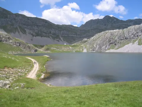
7.3 km↑ 207 m2–3 h
4.2 km↑ 250 m1½–2 h
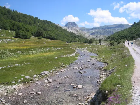
8.0 km↑ 290 m2–3 h
10.5 km↑ 415 m3½–4½ h
20.8 km↑ 848 m5½–8 h

413 km↑ 8,566 m5–8 days
16.4 km↑ 155 m4½–6 h
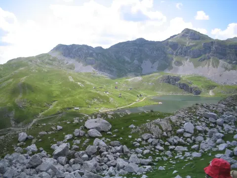
5.9 km↑ 532 m2–3 h
Times and grades are estimates. Conditions change: check the weather and local information before you set out.

Ask about Montenegro
Ask me about destinations, restaurants or activities.
